Hi, what do you want to do?
Curated OER
University of Texas: Solomon Islands: Political Map
A political map of the Solomon Islands in the Coral Sea. An inset shows the islands in relation to other islands in the South Pacific. Clicking on the map will enlarge it. From the Perry Castaneda Collection.
Nations Online Project
Nations Online: Solomon Islands
Features a country profile of the South Pacific island nation known as the Solomon Islands, background details, and numerous links to comprehensive information on the nation's culture, history, geography, economy, environment,...
Other
South Pacific Organizer: Easter Island Travel Guide
This is a comprehensive resource about Easter Island. It explores the mystery of Easter Island (Isla de Pascua) and its indigenous inhabitants, the Rapanui by covering the land, weather,history, flora and fauna. A dateline, and list of...
University of California
Hearst Museum of Anthropology: South Pacific Portraiture
The Hearst Museum provides an exhibition of Caroline Mytinger's paintings. Mytinger's love of art and culture led her to travel to the Solomon Islands and Papua New Guinea creating paintings which she brought back to the United States in...
Other
Asia Society: Policy
A comprehensive storehouse of all types of information on Asia, both current and past: maps and statistics, Asian food, travel guides, photographs, articles, timelines, and more. Asia Source is the work of the Asia Society, a national...
Michigan State University
Michigan State University: Global Edge: Tuvalu: Introduction
Discover statistics, history, economy, culture, politics, and demographics for the island group nation of Tuvalu in the South Pacific Ocean.
Lizard Point Quizzes
Lizard Point: Oceania: Countries Quiz
Test your geography knowledge by taking this interactive quiz over the counties of Oceania in the south Pacific region.
Nations Online Project
Nations Online: New Caledonia
Great reference directory for finding information on the South Pacific island group of New Caledonia. Content includes background details, a country profile, and numerous links to comprehensive information on the nation's culture,...
Curated OER
University of Texas: Vanuatu: Relief Map
A relief map of the several islands that make up the country of Vanuatu. An inset shows the islands in relation to others in the South Pacific. Clicking on the map will enlarge it. From the Perry Castaneda Collection.
BBC
Bbc: South Koreans Vent Fury at Japan
A March 2005 news report on the dispute between South Korea and Japan over a group of small unoccupied islands known in Japan as the Takeshima.
Scholastic
Scholastic History Mystery: Peoples of the Pacific Today: The Marquesas Islands
Students try to guess the mystery subject Carlotta Facts, the History Mystery Museum's professor, is studying. They read the clues, do some online and offline research, and then attempt to identify the game's mystery place, the Marquesas...
Michigan State University
Michigan State University: Global Edge: Fiji: Introduction
Complete guide to the statistics, history, economy, culture, politics, and demographics for the island of Fiji in Oceania in the South Pacific Ocean.
Michigan State University
Michigan State University: Global Edge: Tonga: Introduction
Discover statistics, history, economy, culture, politics, and demographics for the country of Tonga in the South Pacific Ocean.
Countries and Their Cultures
Countries and Their Cultures: Niue
Provides an overview of the culture of Niue, a small island country in the South Pacific Ocean. Gives basic information on topics such as geography, ethnic makeup, languages, symbolism, economy, food, customs, social stratification,...
Nations Online Project
Nations Online: French Polynesia
An excellent travel guide and country profile that takes you on a virtual trip to the French Polynesian islands in the South Pacific. An overview is given on its art, culture, people, environment, geography, history, economy, and...
Nations Online Project
Nations Online: Vanuatu
Interesting destination guide that takes you on a virtual trip to Vanuatu located in the South Pacific Ocean. Background details are given on its art, culture, people, environment, geography, history, economy, and government. There are...
Other
Journal of the h.m.s. Endeavour: Digital Images
Page by page, this is the manuscript journal of Cook's famous South Pacific voyage. Interactive images allow you to view portions of the manuscript, magnify it, print it and cite it properly.
Blackdog Media
Classic Reader: Typee: A Romance of the South Sea by Herman Melville
Read the full text of "Typee: A Romance of the South Sea" by Herman Melville. This was Melville's first book and is partly based on his experiences living on an island in the South Pacific.
University of Texas at Austin
University of Texas: Philippine Islands, 1941
This is a full map of the Philippines in 1941 showing Japanese troop advances and American airfields.
Nations Online Project
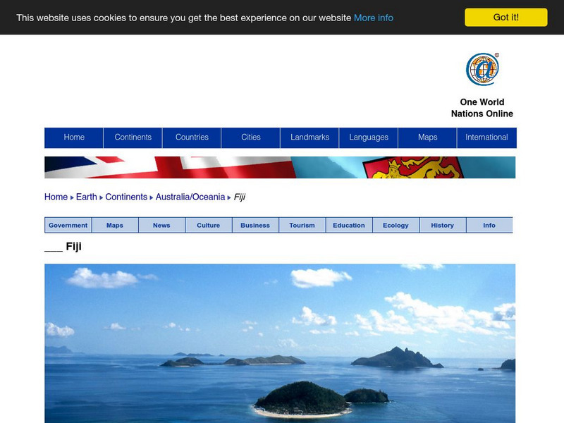
Nations Online: Fiji
Presents a country profile and travel guide to the Fiji islands, background details, and numerous links to in-depth information on the islands' culture, history, geography, economy, environment, population, news, government, and much more.
World InfoZone
World Info Zone: Easter Island Rapa Nui
Gives some basic geographic and historical information on Easter Island located in the South East Pacific. Includes photos.
Curated OER
Etc: Maps Etc: Southern Part of South America, 1922
A map from 1922 of the southern part of South America from Santos on the Atlantic and Iquique on the Pacific south to Tierra del Fuego. The map shows the political boundaries at the time for Argentina, Paraguay, Uruguay, and the southern...
Curated OER
Educational Technology Clearinghouse: Maps Etc: Philippine Islands, 1902
A map from 1902 of the Philippine Islands, showing the provinces at the time, major cities and ports, railroads on Luzon, rivers, terrain, and coastal features. The divisions of Luzon are numbered and listed on the map. Inset maps detail...
Curated OER
University of Texas: Fiji: Relief Map
A relief map of Fiji showing its many islands. Included is an inset to show the islands in relation to others in the South Pacific. Clicking on the map will enlarge it. From the Perry Castaneda Collection.


