Enchanted Learning
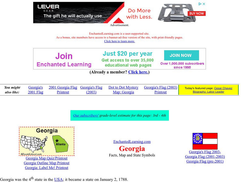
Enchanted Learning: Georgia
Enchanted Learning's fact sheet for Georgia includes a map, pictures, a list of state symbols, and links to related information about the Peach State.
A&E Television
History.com: The States
Learn unique facts about each American state. You can also read a more in-depth history of each state, watch videos and play a game about all the states.
Johns Hopkins University
The Johns Hopkins University: Georgia State Maps
This site from The Johns Hopkins University Applied Physics Laboratory contains several map resources for the state of Georgia. Don't miss out on the different types of maps found at this website from black and white map to a county and...
Georgia Humanities Council and the University of Georgia Press.
New Georgia Encyclopedia: Discover Georgia's Stories
Learn about Georgia at this informative site that contains information about state, from the arts to land to resources.
Kidport
Kidport: United States of America Geography
This site contains a fun way to learn about the states within the United States. Click on the state that you want to learn more about and it provides facts, geographic landmarks, points of interest, major industries, a quiz and more.
University of Georgia
University of Georgia: Map of Va, Nc, Sc, Ga, and Fl (1788)
A 1788 map of the the new U.S. states of Virginia, North Carolina, South Carolina, Georgia and the Spanish lands of Florida.
University of Georgia
University of Georgia: Map of Southern u.s. (1806)
A detailed 1806 map of the southern U.S. States and Territories and Spanish Florida showing borders, rivers, mountains and overland trails.
University of Georgia
University of Georgia: Hargrett Library: Rare Map Collection
The Hargrett Library at the University of Georgia offers visitors the opportunity to view images of over 800 maps that go back almost 500 years. Researchers get a first-hand look at the lives of early Americans with these original maps...
University of Georgia
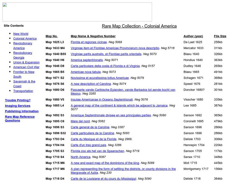
University of Georgia: Rare Map Collection: Colonial America
An extensive collection of original maps drawn during the colonial period of United States history.
Other
Official City Sites: Georgia
Take a look at the cities in Georgia: Atlanta, Athens, Augusta, Columbus, and Savannah. Views will see maps, find data on each city, and get a simple overview of each city's offerings.
CRW Flags
Flags of the World: Clickable Map of the United States
Includes both printable images and fascinating trivia behind the flag of each state. It includes alternate flags used in the past.
University of Georgia
University of Georgia: Map of Southern States of America 1795
A large and detailed map of the southern U.S. States and territories to the immediate west. Indicates rivers, the Appalachian Mountains and latitude and longitude.
Other
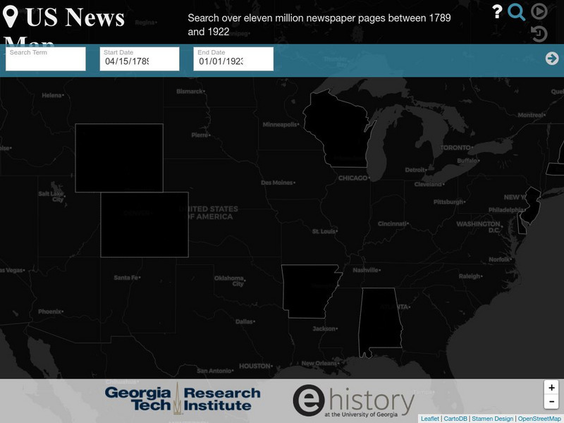
Georgia Tech Research Institute: Chronicling America: Us News Map
A fascinating way to look at history, this interactive map lets you search for a person, event, issue, etc. over a specified time frame and it maps newspapers containing related content onto a map of the United States. An additional...
University of Georgia
University of Georgia: A Map of the u.s. Of North America (1783)
A large detailed map of newly formed United States upon the agreement on the Treaty of Paris of 1783, showing the agreed boundaries between the British and new United States lands.
Curated OER
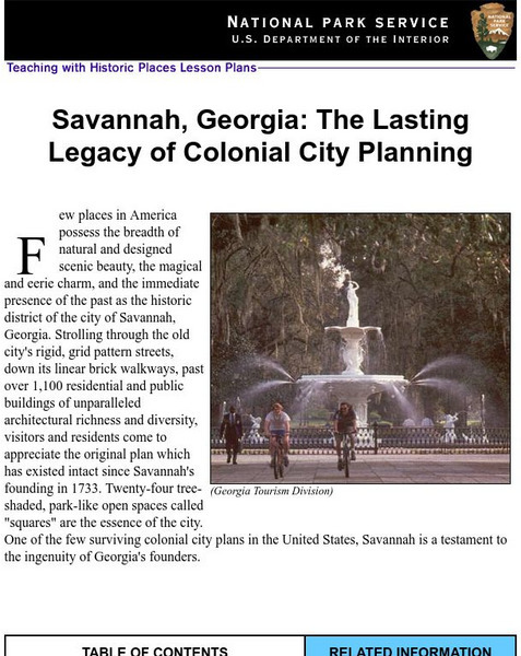
National Park Service: Savannah, Ga: Lasting Legacy of Colonial City Planning
The site explores the colonial history of the city of Savannah, Georgia. This interactive instructional activity has excellent information, an inquiry question, historical context, maps, readings, images, and activities.
Georgia State University
Georgia State University: Hyper Physics: Electricity and Magnetism
HyperPhysics is an exploration environment for concepts in physics by Georgia State University which employs concept maps and other linking strategies to facilitate smooth navigation. This section focuses on electricity and magnetism.
University of Georgia
University of Georgia: A Map of United States of America (1827)
A large and surprisingly accurate map from 1827 of the U.S. States and Territories at the time. Clearly shows borders of states and territories as known at the time.
University of Georgia
University of Georgia: The United States of North America in 1796
A large map from 1796 of the U.S. States and Territories at the time.
University of Georgia
University of Georgia: A Map of North America (1784)
A large and detailed Dutch map of North America as known to the Europeans in 1784.
University of Georgia
University of Georgia: Hargrett Library Rare Map Collection: Topical War Map of the Southern States
A large detailed map of the central and southern U.S. from 1863. Difficult to read.
University of Georgia
University of Georgia: The Mississippi Territory (1814)
An 1814 American map of the territory of the lower Mississippi valley; part of the larger Louisiana Purchase that President Jefferson purchased from the French in 1803.
Georgia State University
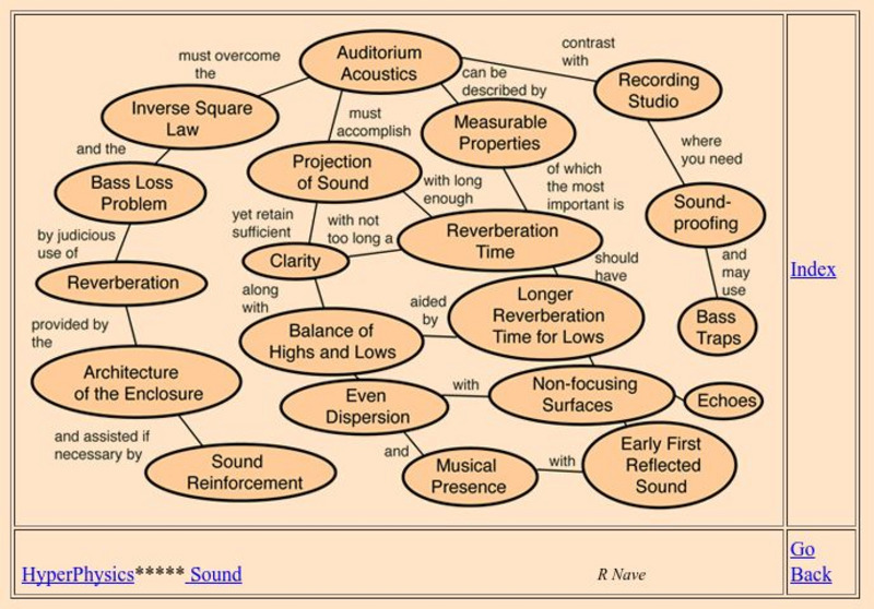
Georgia State University: Hyper Physics: Auditorium Acoustics
Home page for a hypertext physics course on auditorium acoustics and acoustical design.
Georgia State University
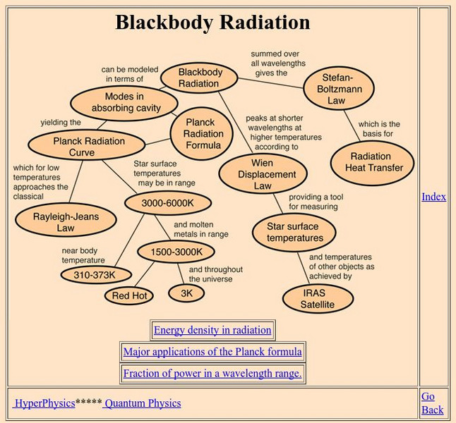
Georgia State University: Hyper Physics: Blackbody Radiation
An indexing page for the HyperPhysics site. This page includes a concept map of links to pages that contain information related to blackbody radiation. Each individual page consists of informative graphics and clear explanations.
Georgia State University
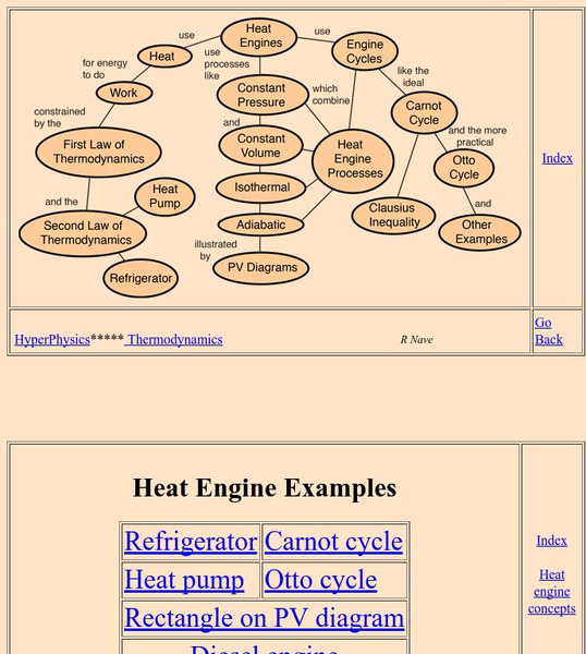
Georgia State University: Hyper Physics: Heat Engine Concepts
An indexing page for the HyperPhysics site. The page contains a concept map of links to a variety of other pages which discuss concepts related to heat engines. All pages contain informative graphics and excellent explanations.
