PBS
Pbs Learning Media: Earth's Systems: Map It
Explore different types of maps and how different things are represented on maps in this media gallery from WGBH. Maps are used to help locate different places and different things. Map symbols are representations of larger things in the...
Curated OER
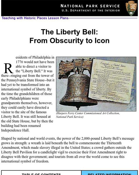
National Park Service: Teaching With Historic Places: The Liberty Bell
Teaching with Historic Places, in collaboration with the National Park Service, provides an extensive lesson plan on The Liberty Bell. Content is laid out with objectives, reading materials, corresponding maps and photographs, learning...
TeachEngineering
Teach Engineering: Nautical Navigation
In this activity, students explore the importance of charts to navigation on bodies of water. Using one worksheet, students learn to read the major map features found on a real nautical chart. Using another worksheet, students draw their...


