DLTK
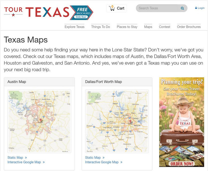
Texas State Map
Provides a blank map of Texas. Teachers will find many uses for this in the classroom. Students will enjoy coloring it and locating different parts of the state.
University of Texas at Austin
University of Texas: Historical Maps of Italy
Review these two maps of Italy during the Renaissance from the Perry Castaneda Collection. Zoom in to see the details of a map of the Milanese under the Visconti and one of the Republic of Florence.
Texas State Historical Association
Texas State Historical Association: Texas Rivers Map [Pdf]
A blank outline map showing the major rivers of Texas. A full color, labeled map of these rivers is available in the Texas Almanac, which is free to download from the main website.
Texas State Historical Association
Texas State Historical Association: Texas Counties Map [Pdf]
A blank outline map showing the many counties of Texas. A full color, labeled map of the counties is available in the Texas Almanac, which is free to download from the main website.
Texas State Historical Association
Texas State Historical Association: Texas County Maps [Pdf]
An activity guide where young scholars refer to the Texas Almanac, which is free to download, for information needed to complete assigned tasks. In this lesson, they research information about different counties in Texas. Assignments...
University of Texas at Austin
University of Texas: Perry Castaneda Library: Colorado Maps
Features a vast collection of a variety of different maps all representing the state of Colorado. View state maps, city maps, historical maps, National Park maps, and more.
University of Texas at Austin
Perry Castaneda Library Map Collection: Tennessee Maps
A listing of online historical and current maps for the State of Tennessee. Part of the Perry-Castaneda Library Map Collection.
University of Texas at Austin
Ut Library: Perry Castaneda Maps of North Carolina
A collection of city maps, historical city maps, and maps of national parks, monuments, and historic sites in North Carolina.
Curated OER
University of Texas: Maps: Kyrgyzstan: Physical Map
Physical map of Kyrgyzstan showing physical features as well as cities, province borders, roads, and railroads.
University of Texas at Austin
University of Texas: Persian Empire About 500 Bc
Follow the Royal Highway of Darius I on this old map of the Persian Empire from University of Texas. The borders of the satrapies are shown also.
Cayuse Canyon
The Us50: Texas
Offers much general information regarding Texas history, famous people, cities, geography, state parks, tourism, and historic sites. A fact sheet of information and a quiz are also available.
Curated OER
University of Texas: Mongolia: Political Map
This site provides a a map of Mongolia from the University of Texas.
University of Texas at Austin
University of Texas Libraries: Russia and the Former Soviet Republics Maps
Collection of maps (political, geographic, thematic, topographic, etc.) related to Russia and the former Soviet Union.
University of Texas at Austin
Ut Library: Perry Castaneda Maps of New York
A collection of maps of the state of New York, including links to city maps, historical city maps, and maps of National Parks, Monuments, and historical places.
Bullock Texas State History Museum
Bullock Museum: Interactive Texas Map
Explore Texas artifacts and stories, or share a story. Click on one of the points on the map to see the content associated with that location.
Curated OER
University of Texas: Maps: Kyrgyzstan: Political Map
This political map of Kyrgyzstan from University of Texas shows the provinces, cities, railroads, and major roads.
University of Texas at Austin
The Perry Castaneda Library Map Collection
This collection contains more than 250,000 maps covering all areas of the world, and ranging from political and shaded relief maps to the detailed and the historical. Select from a region of the world or an area of highlighted interest.
University of Texas at Austin
Ut Library: Perry Castaneda Maps of Virginia
A collection of maps of the state of Virginia. Includes historical and city maps, and maps of places such as Cumberland Gap, Glen Echo Park, and Great Falls Park.
University of Texas at Austin
Univ. Of Texas Libraries: Perry Castaneda Map Collection
A collection of maps detailing every area of Asia from every viewpoint.
University of Texas at Austin
Ut Library: Perry Castaneda Maps of West Virginia
A collection of West Virginia maps, including city maps and maps of national parks, monuments, and historic sites.
University of Texas at Austin
Ut Library: Perry Castaneda Maps of Maryland
A collection of current and historic maps of Maryland along with maps of cities and national parks in the state.
University of Texas at Austin
Ut Library: Perry Castaneda Maps of Connecticut
Includes two maps of the state as well as several topographic maps of cities in Connecticut and one historic map of New Haven in 1920.
University of Texas at Austin
Ut Library: Perry Castaneda Maps of New Hampshire
A collection of maps of the state of New Hampshire, including a few maps of cities and important national monument and historical areas.

