Other
Geoscience Australia: Map Reading Guide: How to Use Topographic Maps [Pdf]
A topographic map can be challenging to read. This guide explains how to decipher one and how to use a magnetic compass to orient yourself to the landscape. It also explains how to use GPS coordinates.
Other
Ordnance Survey: Map Zone: Relief and Contour Lines
Discover how to read and show height on maps using relief and contour lines.
PBS
Pbs Learning Media: Earth's Systems: Map It
Explore different types of maps and how different things are represented on maps in this media gallery from WGBH. Maps are used to help locate different places and different things. Map symbols are representations of larger things in the...
Other
Centre for Topographic Information: Map Scale
This resource uses illustrations to demonstrate scale. Check out the links to the The National Topographic System of Canada and the Aerial Survey Data Base.
CK-12 Foundation
Ck 12: Earth Science: Maps Study Guide
Get an overview of different types of Earth Science maps.
Ducksters
Ducksters: Earth Science for Kids: Topography
Kids learn about the Earth science subject of topography including features such as landforms, elevation, latitude, longitude, and topographical maps.
Alabama Learning Exchange
Alex: Land Surveying Project
This project resulted from of the collaboration of a computer aided drafting teacher, Chris Bond, and a math teacher, Lee Cable, (Hewitt-Trussville High School) to provide higher math expectations in CT and real life application in...
Purdue University
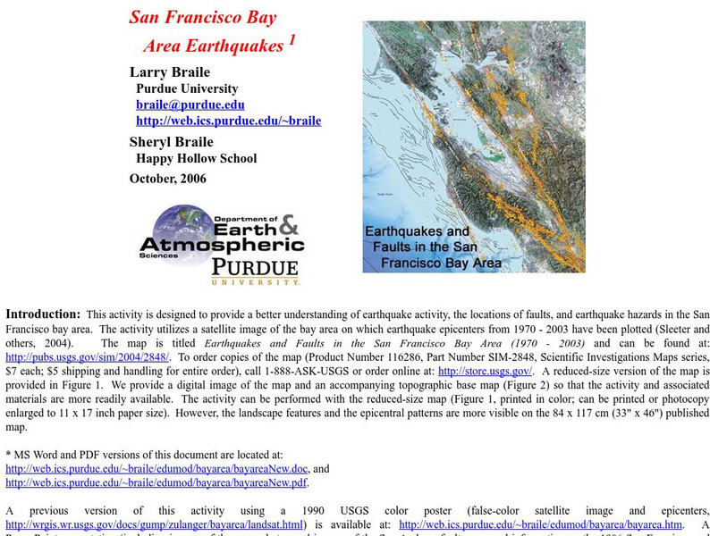
Purdue University: San Francisco Bay Area Earthquakes
Students use geologic fault maps of the San Francisco Bay Area to find relationships between tectonic plate fault lines and landscape features, topographic features, and epicenters of past earthquakes.
US Environmental Protection Agency
Epa: Enviro Mapper Store Front
Lets kids create their own maps, down to the square mile, anywhere in America, choosing various features from water discharges to hazardous waste to roads.
Geographyiq
Geography Iq
Detailed geographical information on any country is available at this site. Within the World Map section, you can get facts and figures about each country's geography, demographics, government, political system, flags, historical and...
![Geoscience Australia: Map Reading Guide: How to Use Topographic Maps [Pdf] Handout Geoscience Australia: Map Reading Guide: How to Use Topographic Maps [Pdf] Handout](https://d15y2dacu3jp90.cloudfront.net/images/attachment_defaults/resource/large/FPO-knovation.png)


