US Geological Survey
U.s. Geological Survey: Land Use History and Changing Landscapes
This resource provides links that overview the history of land use in the United States. Numerous satellite images of different areas are provided.
Other
Lehigh University: Land Use Change
An inquiry-based science unit for middle school students centered on how human activities affect environmental changes related to land use. The lessons integrate technology and lab activities while teaching about today's land use and how...
PBS
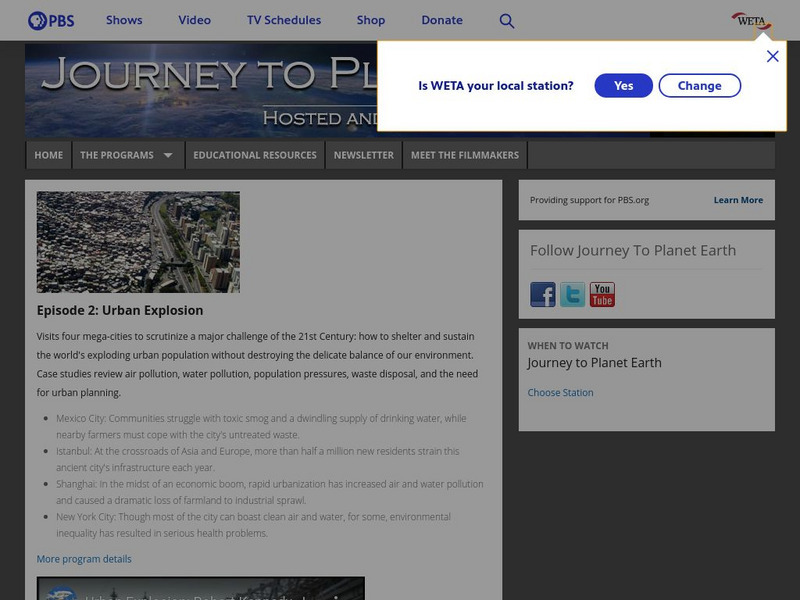
Pbs: Journey to Planet Earth: Urban Explosion
From the "Journey to Planet Earth" series, PBS takes a look at the world's exploding urban population. Includes video clips and educational resources.
PBS
Pbs Teachers: Land of Plenty, Land of Want
This lesson plan encourages students to explore sustainable agriculture. They are asked to identify problems faced in sustainable agriculture and offer possible solutions. A great deal of supplemental activities and information are...
Geographypods
Geographypods: Theme 1: Population and Settlement
A rich collection of highly engaging learning modules on topics related to population and settlement. Covers six main areas - population growth, population change, population migration, land use, settlement characteristics and patterns,...
US Department of Agriculture
Nrcs: Helping People Understand Soils
Comprehensive resource for the study of soil regions. Special information for teachers and students include soil facts, resources, state soils, urban soil issues, state of the land, and more. Be sure to click on their special...
C3 Teachers
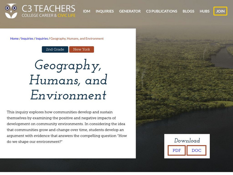
C3 Teachers: Inquiries: Geography, Humans, and Environment
A learning module on how humans change and shape their local environment. It includes several supporting questions accompanied by formative tasks and source materials, followed by a summative performance task. Topics covered include...
PBS
Pbs Learning Media: Primary Source Set: The Homestead Acts
This collection uses primary sources to explore the Homestead Acts.
Other
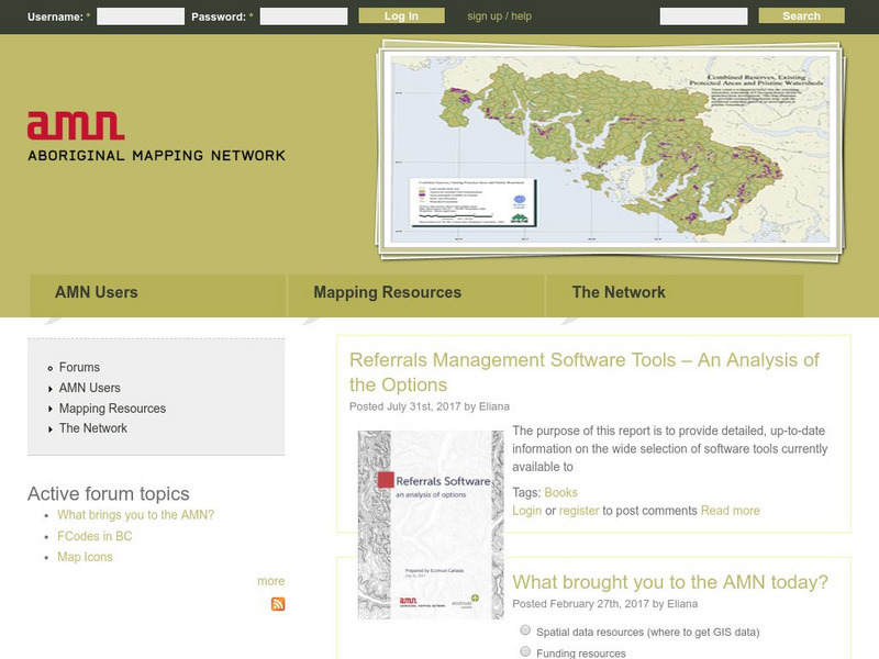
The Aboriginal Mapping Network
Need a map pertaining to a First Nations issue, land claim, or land use? Check out the vast collection of maps organized by the Aboriginal Mapping Network. Thematic maps include information on historic treaty to urban Aboriginals.
Smithsonian Institution
National Postal Museum: Customers & Communities
This online exhibit tells the story of the mail service in the rural and urban areas in the 20th century. Historic, primary materials are used throughout the exhibit.
University of Texas at Austin
University of Texas: Human Environmental Interactions [Pdf]
Inspired by Hemispheres' 2004 Teachers' Summer Institute, People and Place: Human-Geographic Relations, this curriculum unit was designed to address human adaptation to and modification of the environment. How have humans adjusted to...
Curated OER
Unesco: Brazil: Historic Centre of the Town of Goias
Goias testifies to the occupation and colonization of the lands of central Brazil in the 18th and 19th centuries. The urban layout is an example of the organic development of a mining town, adapted to the conditions of the site. Although...

