Hi, what do you want to do?
Library of Congress
Loc: Maps of Cities and Towns
Looking for old maps of somewhere in the United States? Check out this huge collection of maps! Search by the name of a city or town, another keyword, subject, title, or geographic location.
Other
Natural Resource Information Center: Maps of Montana
Resource contains 14 different maps of Montana in four different formats. Maps range anywhere from the county maps to the Indian reservation maps.
Other
Natural Resource Information Center: Maps of Montana
Resource contains 14 different maps of Montana in four different formats. Maps range anywhere from the county maps to the Indian reservation maps.
US Department of State
U.s. Dept. Of State: Afghanistan
Background notes and map of Afghanistan comprise the front page. See menu items for further information such as reports from the U.S. Embassy in Kabul, US aid in Afghanistan, NATO in Afghanistan, and notes on Rebuilding Afghanistan.
A&E Television
History.com: The States
Learn unique facts about each American state. You can also read a more in-depth history of each state, watch videos and play a game about all the states.
Other
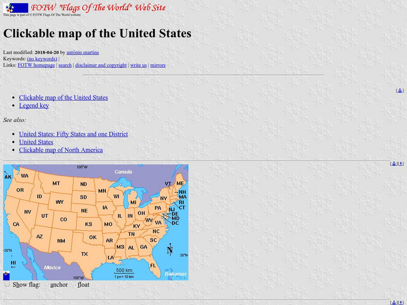
Flags of the World: Clickable Flag Map of the Us
This interactive map of the United States provides a detailed description of the flag of each state and its history. Each state has a colorful picture of the flag and extensive information about state flags, banners, and crests.
Other
Mapof us.org: Maps of Mississippi
A collection of interactive maps and primary source documents including atlases and maps of Mississippi.
NOAA
Noaa: Esrl: United States Climate Page
A "clickable" map of the US that allows you to find information about a state's or city's climate and climate history.
NOAA
Noaa: Esrl: United States Climate Page
A "clickable" map of the US that allows you to find information about a state's or city's climate and climate history.
Maps of Mexico
Virtual Picture Travel Map of Massachusetts
Click on Massachusetts on the US map in order to Travel there and take a virtual tour of Boston. Visit places of interest such as Harvard University, MIT, John F. Kennedy Library and Museum, the Freedom Trail, Copley Square, Trinity...
Maps of Mexico
Virtual Picture Travel Map of Massachusetts
Click on Massachusetts on the US map in order to Travel there and take a virtual tour of Boston. Visit places of interest such as Harvard University, MIT, John F. Kennedy Library and Museum, the Freedom Trail, Copley Square, Trinity...
US House of Representatives
History, Art, and Archives: Us House of Representatives: Mapping Congress
Use this interactive map to track the prevalence of minorities in Congress from the beginning to the present. Choose from a group of members to see how many were in Congress from each state during a particular congressional term. Click...
50 States
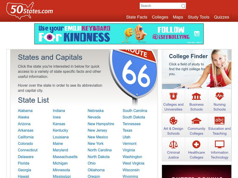
50 States: States and Capitals
This guide to the 50 U.S. states provides maps, pictures of state symbols, statistical information, and links to many other related sights. Test your knowledge with one of the quizzes or search for one of the fun facts.
CRW Flags
Flags of the World: Clickable Map of the United States
Includes both printable images and fascinating trivia behind the flag of each state. It includes alternate flags used in the past.
Other
Pennsylvania Historical and Museum Commission: Pennsylvania State History
Find an extensive history of the state of Pennsylvania, along with illustrated essays on Pennsylvania people, places, and events. Visitors can also access an interesting mix of primary source documents related to Pennsylvania's heritage,...
Khan Academy
Khan Academy: The Election of 2000
The 2000 presidential election was the closest in Electoral College history and the first to be decided by the Supreme Court. This source explains what happened on election night and the following month. Included are references for...
University of Minnesota
U Mn: Immigrants & Cities: Mapping Ethnic Enclaves in Early 20th Century Us
This resource couples a visual and descriptive map of urban ethnic enclaves with an oral interview by an immigrant growing up in New York City. Its goal is to provide different ways of "mapping" or understanding life for immigrants...
Maps of Mexico
Virtual Picture Travel Map of Massachusetts
Click on Massachusetts on the US map in order to Travel there and take a virtual tour of Boston. Visit places of interest such as Harvard University, MIT, John F. Kennedy Library and Museum, the Freedom Trail, Copley Square, Trinity...
Maps of Mexico
Virtual Picture Travel Map of Massachusetts
Click on Massachusetts on the US map in order to Travel there and take a virtual tour of Boston. Visit places of interest such as Harvard University, MIT, John F. Kennedy Library and Museum, the Freedom Trail, Copley Square, Trinity...
Alabama Learning Exchange
Alex: Dewey and the Library of Congress: Map and Matching
After reviewing the Dewey Decimal Classification System, students are introduced to the Library of Congress Classification System. Students create a map of a university library that uses the LCCS and demonstrate their understanding of...
Annenberg Foundation
Annenberg Learner: u.s. History Map Interactive
Become a geography whiz as you learn how the United States was settled. Discover how the continent was irrevocably changed by European colonization, the events that caused the wholesale displacement and decimation of the land's original...
Other
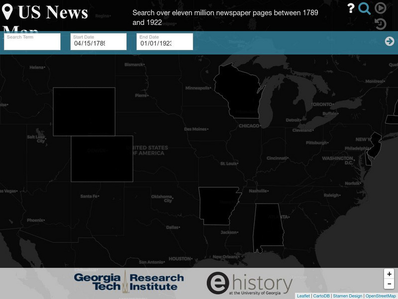
Georgia Tech Research Institute: Chronicling America: Us News Map
A fascinating way to look at history, this interactive map lets you search for a person, event, issue, etc. over a specified time frame and it maps newspapers containing related content onto a map of the United States. An additional...
Teacher Oz
Teacher Oz: 50 States of the u.s.a.
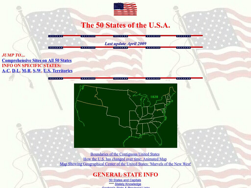
A site with information such as maps, flags and songs of each of the 50 states in the US.
Alabama Learning Exchange
Alex: Sonar Mapping of the Ocean Floor
Mapping the ocean floor must be done by indirect observation. One method involves bouncing a sonar signal off of the ocean floor and measuring the length of time this signal takes to return. This length can be translated into distance:...


