Hi, what do you want to do?
ClassFlow
Class Flow: Introduction to Maps
[Free Registration/Login Required] Students are expected to: explain the purpose of a map; identify and use a compass rose; use a grid to locate objects on maps; and use a map key. Activities are hands-on with students manipulating...
National Geographic
National Geographic: Places in the Park
Modeling the use of maps in and out of school can help students to recognize the value of maps and gain confidence with them. Using maps of places that are familiar to students will strengthen their spatial thinking skills before...
Better Lesson
Better Lesson: Character Web
In this lesson, students will create a character web. Students will use a character from their storybook character for the web.
Wisconsin Response to Intervention Center
Wisconsin Rt I Center: Event Map [Pdf]
Teachers will learn how to use event maps with students. They will learn how to implement event maps with literary and informational texts; measure progress with event maps; and find research to support event maps. A reproducible event...
Science Education Resource Center at Carleton College
Serc: A Data Rich Exercise for Discovering Plate Boundary Processes
This article in the Journal of Geoscience Education describes a classroom exercise based on four world maps containing earthquake, volcano, topographical and seafloor age data. Students participate in this exercise by using a "jigsaw"...
Enchanted Learning
Enchanted Learning: Pennsylvania: Facts, Map, and State Symbols
A list of key facts about the state of Pennsylvania, including information about Pennsylvania's state symbols. Useful extras for teachers include black-line masters of concept diagrams, maps, and thought organizers.
TeachEngineering
Teach Engineering: Using Graph Theory to Analyze Drama
Students analyze dramatic works using graph theory. They gather data, record it in Microsoft Excel and use Cytoscape (a free, downloadable application) to generate graphs that visually illustrate the key characters (nodes) and...
Sophia Learning
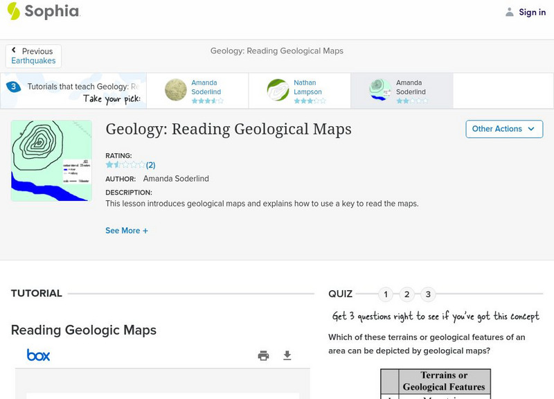
Sophia: Geology: Reading Geological Maps: Lesson 3
This lesson introduces geological maps and explains how to use a key to read the maps. It is 3 of 3 in the series titled "Geology: Reading Geological Maps."
PBS
Pbs Learning Media: Aiming for the Basketball Hall of Fame
In this video segment from TV 411, two Atlanta Hawks players plan a driving route to reach the Basketball Hall of Fame. They use map scales to estimate their travel distances.
Texas State Historical Association
Texas State Historical Association: Texas Geology Map [Pdf]
A black and white outline map that can be colored in, using the key provided, to show the geologic periods in Texas history. A full color map is available in the Texas Almanac, which is free to download from the main website.
University of Oregon
Mapping History: Late Aegean Bronze Age
A key makes this map useful for locating cities and palaces of the Late Aegean Bronze Age (1250-1000 BC) and for understanding the extent of Mycenaean culture.
Alabama Learning Exchange
Alex: An Exploration Into Finding Slopes of Inclines
Students will work in small groups to analyze a topographical map of the Fiery Gizzard hiking trail on the Cumberland Plateau in southeastern Tennessee. They will use the map key to determine distance traveled and elevation gained to...
Smithsonian Institution
National Museum of American History: A Vision of Puerto Rico
A virtual look at a wide-ranging mix of art and artifacts that visually represent Puerto Rico's culture and history. With thematic overviews of everyday life on the island, music, families, and religion along with many useful educational...
Curated OER
Educational Technology Clearinghouse: Maps Etc: Alberta, 1920
A map from 1920 of the southern part of the province of Alberta. The map shows the provincial capital of Edmonton, major cities and towns, existing and proposed railways, lakes, and rivers of this portion of the province. The grid used...
Curated OER
Educational Technology Clearinghouse: Maps Etc: Manitoba (Southern Part), 1920
A map from 1920 of the southern part of the province of Manitoba. The map shows the provincial capital of Winnipeg, major cities and towns, existing and proposed railways, lakes, and rivers of this portion of the province. The grid used...
Curated OER
Etc: Maps Etc: British Columbia (Southern Part), 1920
A map from 1920 of the southern part of the province of British Columbia. The map shows the provincial capital of Victoria, major cities and towns, existing and proposed railways, National Parks, lakes, and rivers of this portion of the...
Curated OER
Etc: Maps Etc: House Vote on the Force Bill, 1833
A map of the United States showing the results of the House vote on the Force Bill of 1833 during the presidency of Andrew Jackson. The map is keyed to show the areas of votes for or against the bill. The bill authorized Jackson to use...
Success Link
Success Link: Bug Explorers for Columbus Day
A fun lesson plan using the voyages of Columbus as a jumping off point to introduce maps and what can be learned from them. Covers content standards for geographic study and evaluating nonfiction works.
Annenberg Foundation
Annenberg Learner: Invitation to World Literature: Epic of Gilgamesh
Lesson from a multimedia course on literary world classics considers the Epic of Gilgamesh. Lesson centers on a half-hour video offering multiple perspectives on the work. Read an excerpt from Gilgamesh and find dozens of rich and varied...
Annenberg Foundation
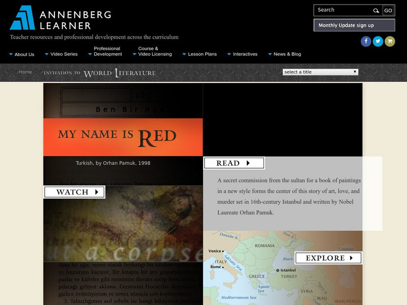
Annenberg Learner: Invitation to World Literature: Pamuk: My Name Is Red
Lesson from a multimedia course on literary world classics considers My Name Is Red, by Nobel laureate Orhan Pamluk. Lesson centers on a half-hour video offering multiple perspectives on the work. Read an excerpt from the novel and find...
Annenberg Foundation
Annenberg Learner: Invitation to World Literature: Homer: The Odyssey
Lesson from a multimedia course on literary world classics considers Homer's Odyssey. Lesson centers on a half-hour video offering multiple perspectives on the work. Read an excerpt from The Odyssey and find dozens of rich and varied...
Annenberg Foundation
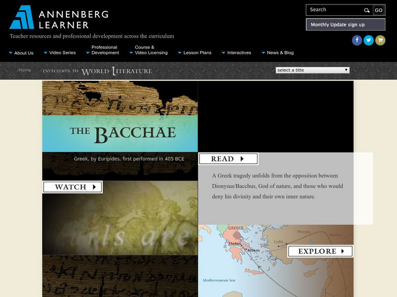
Annenberg Learner: Invitation to World Literature: Euripides: The Bacchae
Lesson from a multimedia course on literary world classics considers The Bacchae, by Euripides. Lesson centers on a half-hour video offering multiple perspectives on the work. Read an excerpt from the play and find dozens of rich and...
Annenberg Foundation
Annenberg Learner: Invitation to World Literature: The Bhagavad Gita
Lesson from a multimedia course on literary world classics considers the Bhagavad Gita. Lesson centers on a half-hour video offering multiple perspectives on the work. Read an excerpt from the Gita and find dozens of rich and varied...
Annenberg Foundation
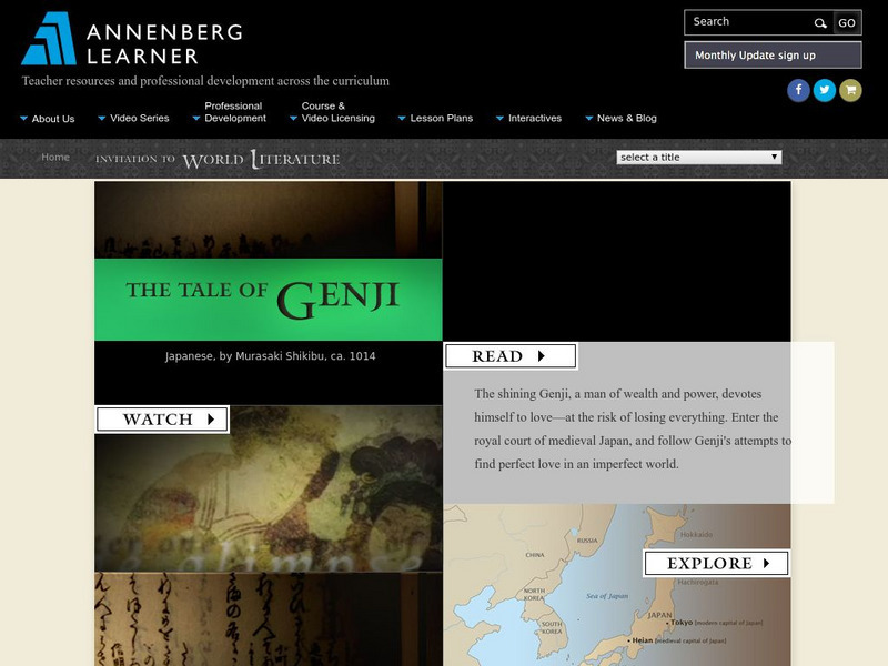
Annenberg Learner: Invitation to World Literature: Shikibu: The Tale of Genji
Lesson from a multimedia course on literary world classics considers The Tale of Genji, byMurasaki Shikibu. Lesson centers on a half-hour video offering multiple perspectives on the work. Read an excerpt from the tale and find dozens of...


![Wisconsin Rt I Center: Event Map [Pdf] Professional Doc Wisconsin Rt I Center: Event Map [Pdf] Professional Doc](https://static.lp.lexp.cloud/images/attachment_defaults/resource/large/FPO-knovation.png)


