New York State Education Department
TASC Transition Curriculum: Workshop 11
You'll C-E-R a difference in classroom achievement after using a helpful lesson plan. Designed for economics, civics, government, and US history classes, participants practice using the CER model to craft arguments about primary and...
Texas Instruments
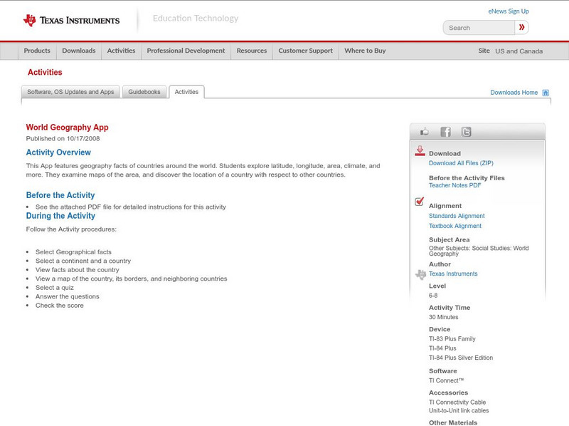
Texas Instruments: World Geography App
This classroom activity features geography facts of countries around the world. Students explore latitude, longitude, area, climate, and more. They examine maps of the area, and discover the location of a country with respect to other...
US Geological Survey
Usgs: Plate Tectonics, Hot Spots, and Ring of Fire: World Map
A world map featuring active volcanoes, plate tectonics, hot spots, and ring of fire.
NASA
Nasa: World Map Puzzle
This site from the National Aeornautics and Space Administration provides an interesting activity with a relief map and its correlation with space. "Wouldn't it be fun to make your own miniature world, complete with mountains, valleys,...
National Geographic
National Geographic: Mapping the World's Watersheds
In this lesson, students use a world map to locate and label major rivers and their watersheds. They then compare watershed shapes and look at typographical features that determine their shapes. A vocabulary list with definitions is...
National Geographic
National Geographic: Mission: Explore: Geography Awareness Week
Learn about geography in an entirely new way with short adventures for all ages. Each mission is an exciting and challenging exploration is which you will see the world in new ways.
National Geographic
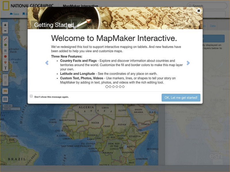
National Geographic: Map Maker Interactive and 1 Page Map Maker
This National Geographic feature allows visitors to create their own world maps complete with capitals, oceans, climate information, satellite view, personalized trail markings and more. Choose from a detailed color map or the second...
Tramline
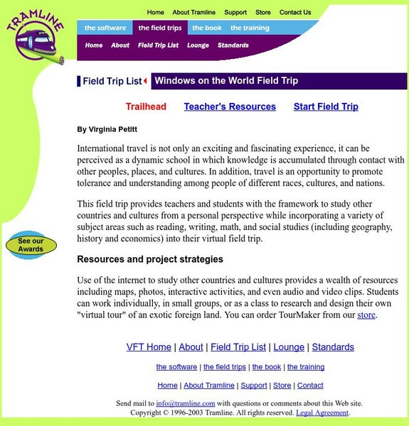
Virtual Field Trip: Windows on the World
At this site you will find interactive activities, maps, photos, and even audio and video clips for studying the cultures of the world.
Other
Aligarh Muslim University (India): Active and Passive Continental Margins
Explains what active and passive continental margins are and where they can be found. Includes a world map showing their locations.
Other
My Wonderful World: Test Your Global Iq
Find out how much you know about our wonderful world by taking these online geography tests. Choose from "GeoBee Challenge", "GeoSpy", or "National Geographic-Roper Survey".
Smithsonian Institution
National Museum of the American Indian: Indigenous Geography
Indigenous Geography helps you develop key understandings on nine different dimensions as they relate to six Native communities located in the Western Hemisphere. Learn about the creation stories, place boundaries and landmarks, calendar...
American Geosciences Institute
American Geosciences Institute: Earth Science Week: Geography of a Pencil
Work to find out how natural resources from around the world can be used to make a single product.
University of Arizona
Pulse: From Global to City Air: Air Quality, City Design and Disease
Students are challenged to design a healthy city in this unit plan. The cross-curricular unit covers content standards for ninth grade in science, language arts, world geography, and math. Students explore air quality and the impact it...
Incorporated Research Institutions for Seismology
Iris: Seismic Monitor
Poke around the world map to examine where there is earthquake activity.
Other
Boggle's World Esl: Word Searches
A collection of more than 40 printable word search activities designed for ESL students. Searches are organized by level of difficulty (easy, intermediate to difficult) and cover a wide variety of themes, e.g., colors, verbs, the five...
Science Museum, London
Making the Modern World: Weather Forecasting
The learning module helps students gain a deeper understanding of weather forecasting. Some topics explored are climate classification, making the forecast, and significance of weather. Activities are included.
PBS
Pbs Learning Media: The World of Volcanoes
In this segment from Nature, Scientists travel to the top of Mount Kilauea to collect molten lava samples for testing.
Scholastic
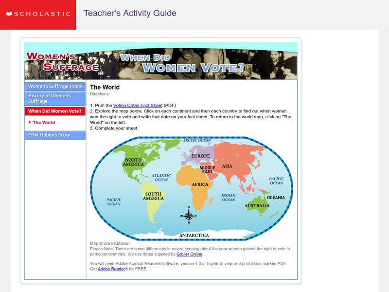
Scholastic: Women's Suffrage: When Did Women Vote?
Print a copy of the "Voting Dates Fact Sheet" and fill it in with the data collected as the world map is explored.
National Geographic
National Geographic: Mapping Marine Ecosystems
Marine ecosystems are examined in this lesson. Students identify examples of different types and locate them on a world map. Includes handouts, website links, and a vocabulary list with definitions.
PBS
Pbs Nova Online: Lost at Sea the Search for Longitude
"The quest for a reliable method to find your way at sea was one of the thorniest problems of the 1700s." Find out about the search for longitude at this NOVA site. Includes interactive Shockwave game, learning activities and more.
Houghton Mifflin Harcourt
Houghton Mifflin Harcourt: Saxon Activity Center: Real World Investigation: Elevation Changes [Pdf]
Math and geography are the focus of this internet investigation. Learners must plan a road trip to several cities and plot the elevations of those cities using a line graph. Acrobat Reader required.
Center for Innovation in Engineering and Science Education, Stevens Institute of Technology
Ciese: Musical Plates: A Study of Earthquakes and Plate Tectonics
This activity has students access USGS earthquake information to plot the their locations on a world map. Doing this will help students discover for themselves the boundaries of tectonic plates.
PBS
Pbs Learning Media: Tectonic Plates and Plate Boundaries
This interactive activity adapted from NASA features world maps that identify different sections of the Earth's crust called tectonic plates. The locations of different types of plate boundaries are also identified, including convergent,...

