Curated OER
Geography and World History
Students build off of their current knowledge of geography and world history, while being introduced to new concepts and ideas.
Other
Sacmeq: Stat Planet Map Maker: Interactive Mapping and Visualization Software
Free application for creating thematic maps and graphs using demographic, educational, environmental, health and socioeconomic indicators from various sources such as the World Health Organization. Includes demos, a video, and other...
Mariners' Museum and Park
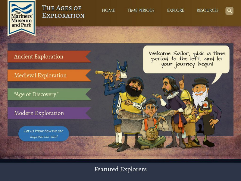
Age of Exploration: Changing View of the World: The Development of Map Making
Read a summary of the history of map-making and the maps that were produced as a result of European exploration in the Americas. See examples of these maps and find out more about each one in this exhibit from the Mariners' Museum.
National Geographic
National Geographic: Geography Awareness Week
This resource is the portal to all the resources National Geographic provides for celebrating Geography Awareness Week, which occurs the third week of November. Find the toolkit, archives of previous celebrations, videos, and mapmaking...
US Geological Survey
Geographic Information Systems
This is an extensive resource explaining what Geographic Information Systems (GIS) are, how they work, applications of GIS, and GIS through history.
Social Studies for Kids
Social Studies for Kids: Latitude and Longitude
A collection of latitude and longitude mapping activities ranging from pin-pointing exact locations on the globe to researching the history behind this basic geography concept.
Other
Mountains of Stone: David Thompson Canadian Fur Trader and Mapmaker
Historical novelist O. Ned Eddins shares his knowledge of explorer and mapmaker David Thompson.
Varsity Tutors
Varsity Tutors: Web English Teacher: Alan Paton
This site features excellent links to lesson plans and activities for the book "Cry, the Beloved Country."
Library of Congress
Loc: History of Railroads and Maps: Railroad Maps 1828 1900
This history of the American railroad from the Library of Congress also provides an understanding of how maps and mapmaking were so closely related to the growth of our railway system.
Volunteer Voices
Volunteer Voices: Mapmaking [Pdf]
In this lesson plan students will explore the mapmaking craft, examine the Lewis and Clark maps,identify and apply mapmaking techniques and tools.
Alabama Learning Exchange
Alex: Topography of Fruit
This is an attempt to help students understand contour lines in map-making through the vector of digital photography. This hands-on activity will create an art piece out of fruit that will be analyzed to create topographic maps.
ArtsNow
Arts Now Learning: Adventure Island [Pdf]
In this lesson, students will study examples of treasure maps and make a list of features and symbols. They will use their imaginations to create their own treasure maps and compose narratives to describe them.
Digital History
Digital History: Pathfinders
Read a brief description of the Lewis and Clark Expedition and the Pike Expedition which sought to map out the newly acquired Louisiana Territory.


