Hi, what do you want to do?
Other
Bora: Battle of Richmond, Kentucky
Read a detailed account of the Battle of Richmond (1862) which was the second largest Civil War battle in Kentucky and a great victory for the Confederates. Check out the virtual tour and trivia links to learn more.
University of Georgia
University of Georgia: Map of Southern u.s. (1806)
A detailed 1806 map of the southern U.S. States and Territories and Spanish Florida showing borders, rivers, mountains and overland trails.
Ducksters
Ducksters: United States Geography for Kids: Kentucky
Kids learn facts and geography about the state of Kentucky including symbols, flag, capital, bodies of water, industry, borders, population, fun facts, GDP, famous people, and major cities.
ClassFlow
Class Flow: The Regions of Kentucky
[Free Registration/Login Required] This Flipchart is an overview of the physical characteristics of the 6 regions of Kentucky.
Cayuse Canyon
The Us50
This clickable map of the United States gives students access to research information from history and tourism to attractions and famous historic figures.
Other
Kentucky State Symbols
Discover all of the Kentucky state symbols here, including a picture and the year of adoption.
Other
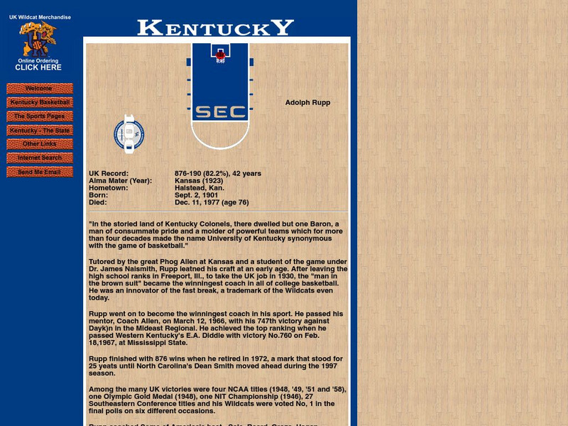
Wildcat World Adolph Rupp
This site has a brief biography of the man known as the Baron of Basketball.
Curated OER
Clip Art by Phillip Martin: Kentucky
A clipart illustration by Phillip Martin titled "Kentucky."
Curated OER
Clip Art by Phillip Martin: Kentucky
A clipart illustration by Phillip Martin titled "Kentucky."


