PBS
Pbs Kids: Where's Buster?: A u.s. Geography Game About the States
Develop map and directional skills as well as skills in following a series of clues to find which U.S. state Buster is in.
Utah Education Network
Uen: The Pony Express
Fourth graders will draw a map showing the route they travel from home to school.
National Geographic
National Geographic: Geographic Groceries
This site provides activities and lesson plans for all age levels on mapping.
National Endowment for the Humanities
Neh: Edsit Ement: Carl Sandburg's "Chicago": Bringing a Great City Alive
In this lesson students examine primary source documents including photographs, film, maps, and essays to learn about Chicago at the turn of the 20th century and Carl Sandburg's famous poem. After examining the poem's use of...
National Endowment for the Humanities
Neh: Edsit Ement: Go West: Imagining the Oregon Trail
A 2,000-mile trek across a continent-with no idea what awaits you on the other side. Tell your students to put on their traveling shoes and prepare for the journey of their lives! In this lesson, students compare imagined travel...
BBC
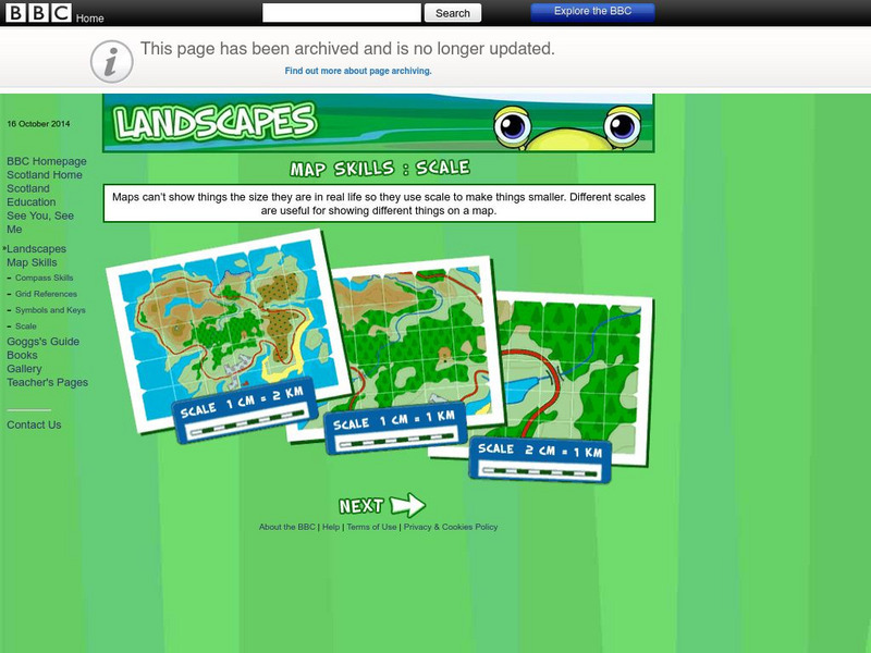
Bbc: Landscapes: Scotland: Map Skills: Scale
Lesson for elementary students on map skills uses a map of Scotland to teach about the concept of scale.
E-learning for Kids
E Learning for Kids: Science: Antarctica: What Is Position and Reference Point?
With all the snow and ice in Antarctica, it's easy to get lost. Help Tim find his way using a map and a compass.
E-learning for Kids
E Learning for Kids: Science: Antarctica: Penguins: What Is Motion?
What do you know about Emperor penguins? Ernie is researching them and their migration across the continent.
Pamela Seed
The Art and Science of Fifteenth Century Navigation: Latitude
Chronicle of the changes that occurred in various areas when latitude was identified in 1516. Site includes links to the changes in maps, compass roses, and the science of sailing.
Lizard Point Quizzes
Lizard Point: Asia: Countries Quiz
Try this interactive geography quiz which tests your knowledge about the countries of Asia.
Lizard Point Quizzes
Lizard Point: World Oceans and Continents Quiz
Test your geography knowledge by taking this interactive quiz over the world's continents and oceans.
Lizard Point Quizzes
Lizard Point: South America: Countries Quiz
Try this interactive geography quiz which tests your knowledge about the countries of South America.
Lizard Point Quizzes
Lizard Point: Middle East: Countries Quiz
Test your geography knowledge by taking this interactive quiz over the countries of the Middle East.
Lizard Point Quizzes
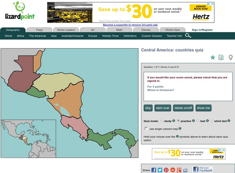
Lizard Point: Central America: Countries Quiz
Try this interactive geography quiz which tests your knowledge about the countries of Central America.
Lizard Point Quizzes
Lizard Point: Europe: Capitals Quiz
Test your geography knowledge by taking this interactive quiz over the capital cities of Europe.
Lizard Point Quizzes
Lizard Point: Western Usa: States Quiz
Test your geography knowledge by taking this interactive quiz over the western United States.
Lizard Point Quizzes
Lizard Point: Caribbean Independent Countries Quiz
Try this interactive geography quiz which tests your knowledge about the independent countries of the Caribbean.
Lizard Point Quizzes
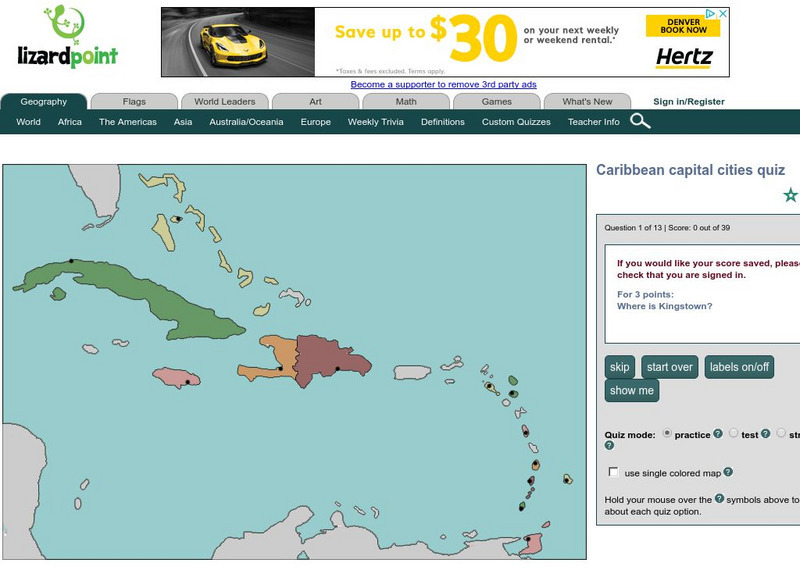
Lizard Point: Caribbean Capital Cities Quiz
Test your geography knowledge by taking this interactive quiz over the capital cities of the Caribbean Island countries.
Lizard Point Quizzes
Lizard Point: Northern Africa: Countries Quiz
Try this interactive geography quiz which tests your knowledge about the countries in Northern Africa.
Lizard Point Quizzes
Lizard Point: Western Africa: Countries Quiz
Test your geography knowledge by taking this interactive quiz over the countries of Western Africa.
Lizard Point Quizzes
Lizard Point: Central Africa: Countries Quiz
Try this interactive geography quiz which tests your knowledge about the Central African countries.
Lizard Point Quizzes
Lizard Point: Southern Africa: Countries Quiz
Test your geography knowledge by taking this interactive quiz over the countries of Southern Africa.


