Curated OER
I Love the Mountains
First graders discuss and define different landforms. They read the book "Our Land", sing a landform song and perform it with motions and then complete a worksheet.
Curated OER
San Francisco Bay Watershed
Students locate important landmarks on a map and explore the watersheds in California. In this watershed lesson students complete a worksheet and discuss what they learned.
Curated OER
Exploring BC Through Mapping
For this mapping worksheet, students use an atlas or map to locate and label the rivers, mountains, lakes, and cities in British Columbia.
Curated OER
How is Earth's Surface Built Up?
In this Earth's surface worksheet, students complete a graphic organizer by writing in 5 examples of how the Earth's surface is built up.
Curated OER
What Makes Up Earth's Surface?
In this Earth's surface worksheet, students complete a graphic organizer by writing 1 main idea and 7 supporting details about what makes up the Earth's surface.
Curated OER
What is the Earth's Surface Like?
In this Earth's surface worksheet, students complete a graphic organizer by writing in 1 main idea and 4 supporting details describing the Earth's surface.
Curated OER
What Are Earthquakes And Volcanoes?
In this earthquake and volcano worksheet, students will write down what causes earthquakes and volcanoes to form and how these events are related to one another. This worksheet is a graphic organizer.
Curated OER
Getting Down the Mountain
In this getting down the mountain worksheet, learners complete a maze puzzle with a skier. First, they cover the things on the mountain that do not belong on the mountain. Then, students cut out the skier at the bottom of the sheet and...
Curated OER
Mountains of the World
In this social studies worksheet, students locate 54 mountains from around the world. Students may self correct their word search puzzles by selecting the link at the end of the page.
Curated OER
China's Geographical Features Word Search
In this China's Geographical Features word search, students identify types of land formations located in China. A list of mountains, hills, rivers and uplands is provided. An answer key is available for the 20 items.
Curated OER
Geologic Maps
Students explore geologic maps. They locate specified mountain ranges and faults on maps. Students compare and contrast the characteristics of mountain ranges and faults. They identify rivers, mountains and locate Z rocks.
Curated OER
Mountain Building
Students work in small groups. They are told that their task is to build a mountain in their dish pan that can withstand the effects of having a watering can emptied out on it. Students use creative extras to complete their mountains,...
Curated OER
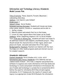
Biomes- Culminating Slideshow
Third graders investigate the concept of differentiation of biomes. They select one biome and conduct research to obtain information. In particular, 3rd graders demonstrate how to find a biome on a map. The information is used to create...
Curated OER
Franklin Mountains
Fifth graders examine photographs of the eastern and western Franklin Mountains. As a class, they discuss what is shown and the different colored rocks and the orientation of the layers. In groups, they are given clay of two different...
Curated OER
Franklin Mountains
Students review the steps of the rock cycle. In groups, they identify the natural forces that cause weathering and erosion. They describe how sedimentary, metamorphic and igneous rocks might be formed in nature to end the instructional...
Curated OER
World Geography: Who am I?
Students are able to provide a basic description of one country that has arsenic in its water supply. They are able to locate these countries on a map. Students explore the majors countries that have been affected by arsenic...
Curated OER
Volcano Above the Clouds
Students develop a travelogue to describe the distinct ecological regions of Mount Kilimanjaro. Students simulate mountain climbing. They describe the health issues that may affect climbers, and any necessary equipment or safety...
Curated OER
Regions of South America
Students explore facts about South America in the four lessons of this unit. Booklets are created from the materials produced as the class delves into the topic.
PBS
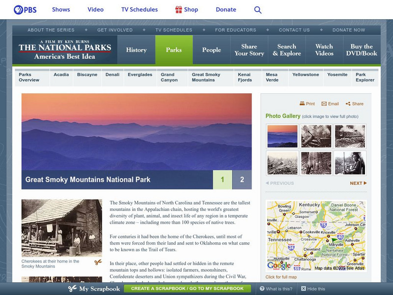
Pbs: The National Parks: Great Smokey Mountains National Park
Peruse this two page overview of the history of the Great Smokey Mountains National Park featured in a PBS documentary, while exploring the "hidden" stories of the minorities that helped to create this spectacular park.
US Geological Survey
Usgs: Water Science for Schools Activities Center
This website offers three activity centers: Questionnaires, Opinion Surveys, and Challenge Questions. Take a look at these interesting water research activities from the US Geological Survey. Click Home to access the site in Spanish.
University of Texas at Austin
France
Excellent series of maps from University of Texas at Austin - Provides political and shaded relief maps of France and a multitude of historical maps and maps of overseas territories overseas. Also includes maps of several large cities.
DOGO Media
Dogo News: Week of 6 23 14: Girl Becomes Youngest to Conquer Mt. Everest
Learn about the teen girl who is now the youngest climber to reach the summit of Mt. Everest.
Other
Colorado 14ers Initiative: Peaks: San Juan Mountains: Mount Sneffels
Learn about Mount Sneffels from this nonprofit, dedicated to preserving Colorado's mountain ecosystems.
American Geosciences Institute
American Geosciences Institute: Dynamic Planet
Seven hands-on lessons module where students learn about our dynamic planet. These inquiry-based explorations investigate scientific models, earthquakes and seismic waves, Earth's interior, Earth movements, the lithosphere, plate...


