Hi, what do you want to do?
Curated OER
The???
In this world information worksheet, learners answer the questions relating to landmarks, history, and basic information around the world. Students complete 30 online questions.
Curated OER
World Map and Globe
Learners explore symbols. In this beginning map lesson, students identify common picture symbols. Learners place post-it notes with symbols drawn on them in the appropriate place on a map.
Curated OER
World Map and Globe
Students locate and identify continents and countries. In this world map instructional activity, students locate and identify one country on each continent.
Curated OER
World Map and Globe - Four Main Directions
Students study the four main directions on a map. In this map lesson, students locate the North and South pole, and learn the four cardinal directions. They use the compass rose on a map to help with the directions. (Map is not included...
Curated OER
Using the Four Main Directions in the Classroom
Students use the four main directions to locate features in the classroom. In this direction instructional activity, students review the 4 main directions using a world map. Students use a magnetic compass to locate the north wall in...
Curated OER
World Geography Quiz
In this world geography activity, students answer several questions based on world geography and landmarks. Students answer 10 multiple choice questions.
Curated OER
South America
In this map of South America worksheet, students study the map of South America and then write the names of the 15 countries and territories on the provided lines.
Curated OER
Mountains of the World
In this social studies worksheet, students locate 54 mountains from around the world. Students may self correct their word search puzzles by selecting the link at the end of the page.
Curated OER
The Birthplace
Middle schoolers use a world map, to identify the country of origin of the target language and other countries and areas where the largest language is on e of the principal languages. They complete this assessment orally using a world map.
Curated OER
Geography: Mapping Newspaper Coverage
Students examine the locations of stories appearing in newspapers and determine where to assign reporters. Using various maps, they connect the stories to the correct maps and create charts of the story locations. Students explain their...
Curated OER
ADULT ESOL LESSON PLAN--Environment and the World
Students locate and trace Florida on a United States map as well as their local counties and city of residence on a state map. In addition, they label all the directions north, south, east and west on each map.
Curated OER
Travel Brochure/ Itinerary
Students select and research a country of their choice and create a travel brochure and a 7-day itinerary.
Northern Illinois University
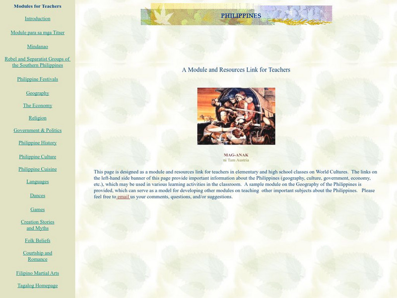
The Philippines: Module for K 12 Teachers and Learners
This module on the Philippines is a great "All-in-one" site for a teacher or class studying the Philippines. Covers everything from history and culture to games, festivals, creation myths, and folk beliefs.
World InfoZone
World Info Zone
Detailed, comprehensive information on countries and people all over the world. Great tool for discovering facts on world issues, seeing photos, and just exploring the world in general. Also includes quizzes based on the website's content.
Other
360 Cities: World Panoramic Photography
Explore the world's cities and environments through panoramic photography. Includes a video explaining how to shoot a panorama. Explore by delving into the world map, a themed set, editors' picks, or an expert photographer's portfolio.
C3 Teachers
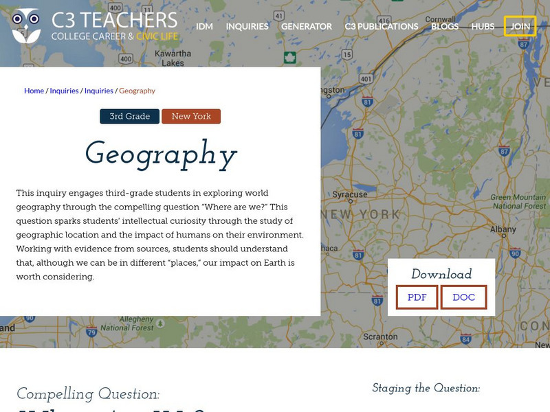
C3 Teachers: Inquiries: Geography
A learning module on world geography. It includes several supporting questions accompanied by formative tasks and source materials, followed by a summative performance task. Students investigate where their community is located, where...
Nations Online Project
Nations Online
This portal site offers quick access to a wide range of information about each country, continent and region of the world.
Enchanted Learning
Enchanted Learning: The Continents
Brightly colored printouts, maps, and graphics on the greatest land masses on earth. See how continental drift works, look up extremes, label maps, learn about latitude, longitude and other geography terms. Teachers will find a Landforms...
Texas Instruments
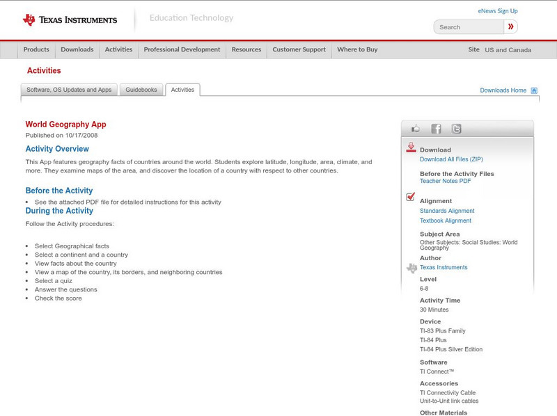
Texas Instruments: World Geography App
This classroom activity features geography facts of countries around the world. Students explore latitude, longitude, area, climate, and more. They examine maps of the area, and discover the location of a country with respect to other...
Other
Valparaiso University: Carl Ritter
This site from the Valparaiso University provides information on Carl Ritter and Alexander von Humboldt, two famous geographers.
Discovery Education
Discovery Education: B. J. Pinchbeck's Homework Helper for Social Studies
The Social Studies section of this popular Homework Helper site contains links to maps and flags, U.S. geography, world history and more.
Other
Tokyo Broadcasting System Television: The World Heritage
Japanese content. A companion site for the TV program, Sekaiisan, or The World Heritage. Episodes focus on cultural and "natural" heritage and are similar in feel to a National Geographic special. You can't watch the episode online but...
ABCya
Ab Cya: World Bingo
World Bingo is a great way for children and adults to test their knowledge on the different countries of the world! With questions ranging from things like capitals, flags, and landmarks, you're bound to learn something new!
University of South Florida
Propel: Social Studies Education Geography
Geography studies the relationships between people, places, and environments by mapping information about them into a spatial context.


