Curated OER
Marco Polo Takes A Trip
Students identify Marco Polo and discuss why he took his trip, indicate on map routes Marco Polo took to China and back, describe challenges of traveling along Silk Road, list several interesting aspects of 13th Century Chinese culture,...
Curated OER
Making a Map
Students are introduced to maps by examining the various types and practice using a key to find information. They each create their own map with a key and graph information. As a class, they read the story "Henny Penny" and share their...
Curated OER
Ticky Goes to Jr. Map School
First graders sing "We All Live Together," by Greg and Steve. They look at a map and sing the "Soggy Waffle Song" to study about the compass rose. Students write N, E, S, W on the borders of paper that goes under a 100's chart. The...
Curated OER
Me on the Map: Homes, Neighborhoods, and Communities
Young scholars read a book about maps and identify the differences between a picture and a map. In this maps lesson plan, students also label maps of their home, neighborhood, and community.
Curated OER
Mapping Counties
Learners practice reading a map. In this mapping lesson, students illustrate a map and compare and contrast the counties based on their population. Learners also explore what a census is and read census data on a map. A student...
Indian Land Tenure Foundation
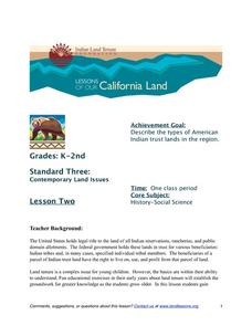
Indian Trust Lands
An important aspect of studying Native American history is understanding the nature of trust lands. Budding historians will learn that as Native Americans were removed from their home lands, trust lands were provided in the form of...
Curated OER
Where in the World Is Mexico?
Students practice map-reading skills as they locate Mexico and its cities on a world map. By creating a puzzle out of a map of Mexico, students engage in a meaningful hands-on activity to help them explore that country's geography.
Curated OER
America: The Land We Live In: Landmarks
Young scholars explore the concept of landmarks. In this landmark lesson plan, students brainstorm different landmarks around their community and nationally. Young scholars then identify the patterns in Georgia O'Keeffe's paintings or...
Curated OER
Four Famous Faces
Each one of our quarters is embellished with a famous face or image representing the state it came from. This lesson uses South Dakota's state quarter to get kids thinking about monetary value, what the president of the United States...
Curated OER
Mapping Your Way Around
First graders identify a map, symbols on a map, and locate places on a map. Finally, they construct a map
Curated OER
Landscape Picture Map
Students design a landscape picture map. In this landscape picture mapping activity, students understand when and why to use a landscape picture map. Students discuss landscape picture maps.
Curated OER
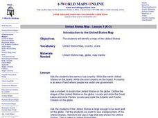
Introduction to the United States Map
Students explore the United States using a map. In this map lesson, students discover how to use a United States map and a globe to locate places.
Curated OER
Lesson Nine: Size and Scale
Students investigate scale as it is related to maps. In this map lesson, students read Jack and the Beanstalk by Carol North. Students then compare the setting in the story to a landscape picture map to help them study scale.
Curated OER
United States Map - Lesson 2 Introduction to Symbols
Students explore the United States using a map. In this map lesson plan, students discover how to use map symbols in order to read maps.
Curated OER
United States Map - Lesson 4: States
Students use a United States Map to locate their state and use map symbols to determine the boundaries of a state. In this states lesson plan, students learn the definition of a state and identify their own on a map.
Curated OER
United States Map- State Capitals
Students explore the state capitals. In this geography lesson, students use a political map to identify the state capitals and place post-it notes on various capitals.
Curated OER
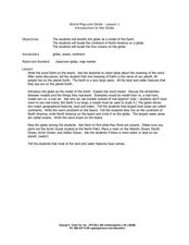
World Map and Globe - Lesson 1 Introduction to the Globe
Students explore the earth with maps and globes. In this map lesson plan, students use maps and globes to locate oceans and continents.
Curated OER
Simple Route Map
Students demonstrate how to locate features on a Landscape Picture Map. In this map skills lesson, students locate and circle places where they would go to mail a letter, return a library book, or play a baseball game.
Curated OER
Archaeology- State Map
Learners study state maps. In this map skills lesson plan, students identify the states' location and how to use a legend. Learners complete photocopies of the state map.
Curated OER
Lesson Design Archaeology- World Map
Learners practice locating positions on the world map. In this map skills lesson, students explore the world map and items such as the compass rose, Equator, mountains, cities, etc. The learners practice locating positions on the world...
Curated OER
Lesson Design Archaeology- USGS Maps
Students research USGS maps and identify the major features. In this map skills lesson, students identify low and high elevations on a USGS map and practice finding latitude and longitude.
Curated OER
Orienteering: Map Skills
Students discover orienteering. For this orienteering lesson, students search for six specific landmarks. Students brainstorm how maps and landmarks are helpful.
Curated OER
United States Map- Continent, Country, State
Students identify their continent, country, and state on a globe. For this geography lesson, students use a globe to identify the seven continents, the United States, and the state which they live in. Students define key terms.
Curated OER
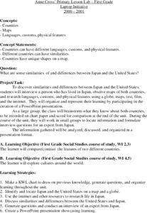
Japan
First graders investigate the similarities and differences between Japan and the United States. They develop a KWL chart, locate Japan and the U.S. on a globe, conduct Internet research on life in Japan, conduct an interview, and create...


