Hi, what do you want to do?
Florida Center for Reading Research
Florida Center for Reading Research: Exp. Text Structure: Text Feature Find
A lesson plan in which students look through a book to find various text features including: a table of contents, sequence and format, charts/graphs/maps, diagrams/graphics/illustrations, print variations, an index, and a glossary....
BBC
Bbc: Landscapes: Map Skills: Grid References
Young map readers will learn the idea of referring to the grid numbers to help find locations or to describe locations on a map.
Daily Teaching Tools
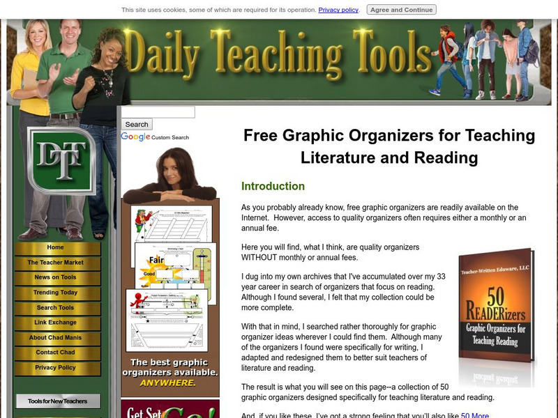
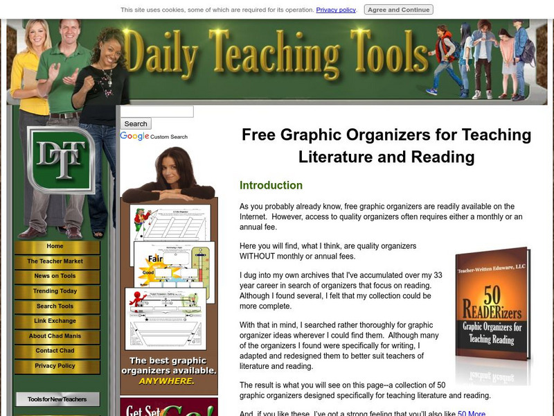
Daily Teaching Tools: Free Graphic Organizers for Teaching Literature & Reading
A teaching resource with free downloadable graphic organizers including Character Webs, Responding to Literature Forms, Reading Analysis Organizers, Story Maps, Cognitive Bookmarks, Instructional Webs, and more.
University of South Florida
Fcat Express: Chronological Order
Strategies to help students recognize the order of events in a selection provided by a standardized test preparation site intended for fourth grade. Includes strategies such as plot diagrams, probable passages, story mapping, summary...
HotChalk
Hot Chalk: Lesson Plans Page: Find Captain Hook's Treasure
Lesson that helps learners understand maps, map directions, and map symbols. Students use teacher-created maps to locate numbered keys on the playground.
E-learning for Kids
E Learning for Kids: Math: Tea Store: Reading a Table
Students will demonstrate how to interpret information in a table.
Read Works
Read Works: Dinosaur Discovery
[Free Registration/Login Required] Students read text, a map, and a chart about dinosaur fossils. A question sheet is available to help students build skills in comparing and contrasting.
National Geographic
National Geographic: A Latitude/longitude Puzzle
Through examining maps students will be able to identify locations and characteristics of them based on latitude and longitude and infer what events might occur in the places.
University of South Florida
Fcat Express: Main Idea With Supporting Details
Strategies to help students recognize main ideas and supporting details provided by a standardized test preparation site intended for fourth grade. Includes strategies such as Main Idea Pyramids, Number Notes, QAR (Question/Answer...
PBS
Pbs Kids Afterschool Adventure!: Operation: Lost and Found Activity Plan
Gorillas, groceries, pirate treasure, and aardvark homes: these are just a few of the things children will search for and find in this week's Afterschool Adventure, Lost and Found. Children will use position words like above, below, and...
PBS
Pbs Learning Media: Lost in Greasy World
Children use spatial skills to put together a map that has been broken up into pieces. This activity will help them understand spatial sense and practice using a map.
E-learning for Kids
E Learning for Kids: Math: Ice Cream Shop: Numbers to 999
On this interactive site students learn to read two and three digit numbers, use words to write numbers, put numbers in ascending and descending order and locate place value of digits.
Utah Education Network
Uen: Second Grade Writing Lesson #1/ Narrative Prompt
This lesson engages students in working with narrative reading and writing. Students will listen to different stories and fill out story maps for them. Then students will plan a personal narrative about a "surprise" on a graphic...
Scholastic
Scholastic: Hunting for States, Capitals, and National Parks! [Pdf]
Students can use a map of the United States to locate state capitals and national parks.
University of South Florida
Fcat Express: Probable Passage
Site provides extensive assistance in preparing 4th grade students for Florida Comprehensive Assessment Test. This section provides help in using the "probable passage" technique to aid comprehension. In addition, links are available to...
University of South Florida
Fcat Express: Chronological Order
The site provides extensive assistance in preparing 4th-grade students for Florida Comprehensive Assessment Test. This section focuses on identifying the chronological order.
Polk Brothers Foundation Center for Urban Education at DePaul University
De Paul University: Center for Urban Education: American Explorers [Pdf]
"American Explorers" is a one page, non-fiction, reading passage about the Lewis and Clark Expedition. They traveled from St. Louis to the Pacific Ocean with the help of Native Americans and made maps along the way. It is followed by...
Daily Teaching Tools
Daily Teaching Tools: More Free Graphic Organizers for Studying and Analyzing
A teaching resource with free downloadable graphic organizers including Time Organizers, Learning Maps, Project Internet, Concepts and Characteristics, Vocabulary Charts, Project Author Study, Decisions and Goals, and more.
E-learning for Kids
E Learning for Kids: Math: Fisher Boat: Number: Count to 1000 and Money
On this interactive website students practice various math skills using a real life scenario on a fishing boat. Those skills include counting forwards by tens, reading three-digit numbers, and producing a three-digit number using base...
Arizona State University
Archaeological Research Insitute: Flat Stanley Explores the Hohokam Culture
Join the intrepid children's book hero, Flat Stanley, as he investigates the Hohokam culture of Arizona. Find pictures of Flat Stanley posing with Hohokam pottery and jewelry. See pictures of what Hohokam houses might have looked like,...
Other popular searches
- Map Reading Skills
- Earth Science Map Reading
- Esl Map Reading
- Map Reading Activities
- Reading a Map
- Basic Map Reading
- Map Reading Powerpoint
- Topographic Map Reading
- Map Reading Grade 6
- Lessons on Map Reading
- Elements of Map Reading
- Geography Map Reading Skills








![Scholastic: Hunting for States, Capitals, and National Parks! [Pdf] Activity Scholastic: Hunting for States, Capitals, and National Parks! [Pdf] Activity](https://content.lessonplanet.com/knovation/original/480522-367e1f79d58efef695e5c826460eaadd.jpg?1661587497)

