Curated OER
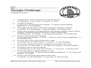
Georgia Challenge
For this multiple choice about the U.S. state of Georgia worksheet, students read factual phrases about Georgia and choose the correct who, what, or where answers. Students answer 10 multiple choice answers.
Curated OER
U.S. State Capitals Quick Vocabulary Reviews Worksheet
In this state capitals worksheet, students write the state that each capital city belongs to and define the word. Students write 15 states.
Curated OER
U.S. State Capitals Vocabulary Dice
In this states worksheet, students cut a dicut of a dice and form the dice with the names of states on each face. Students complete this for 1 dice.
Humanities Texas
A President's Vision: George Washington
Who knew that one poster about George Washington could have so many learning possibilities attached to it? Here you'll find an attractive learning display on the first president of the United States, as well as worksheets and...
Curated OER
Florida: U.S. Geography for Kids
In this Florida geography worksheet, students locate and label the important features of Florida and create icons for the economy and culture of Florida.
Curated OER
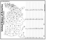
United States Capital Cities
In this identifying the United States Capital cities worksheet, students use a United States map and a list of state abbreviations to write each state' s and the District of Columbia's capital city. Students write 51 answers.
Curated OER
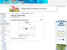
Kansas State Map
In this map of Kansas worksheet, students color and label major cities and physical features of this state. Students also study the location of Kansas in relation to the other states in the U.S. by studying the background map.
Curated OER
Idaho State Map
In this Idaho state map learning exercise, students color and label important physical features and cities. Students also study the background map to learn the location of Idaho as related to the rest of the U.S.
Curated OER
Indiana State Map
In this Indiana state map worksheet, students color and label the important cities and physical features on this outline map. Students also learn of Indiana's location in the U.S. by studying the background map.
Curated OER
U.S. Geography for Children: Michigan
In this Michigan map activities learning exercise, students observe an outline map of the state of Michigan, locate and label specific places and areas, and create a map key. Students complete 5 activities.
Curated OER
U.S. Geography: California
In this map skills about the state of California worksheet, students locate and label specific places and areas and create a map key and symbolize the economy and areas of personal interest. Students answer 5 questions.
Curated OER
U.S. State Capitals Word Search
In this state capitals activity, students find a set of 8 state capitals in a word search puzzle. Capitals are found on the bottom of the page. A reference web site is included for additional activities.
Curated OER
U. S. History Worksheet, #69
In this United States history worksheet, learners utilize a word bank of 10 terms or phrases to answer 10 fill in the blank questions about the Civil War. A short answer question is posed to students as well.
Curated OER
Symbols of Georgia
In this Georgia worksheet, students complete a 16 question fill in the blank on-line interactive quiz about the state of Georgia. Students complete sentences about the capital city, state bird, flower, gemstone, fish, song and famous...
Curated OER
United States Outline Map
In this United States outline map worksheet, students note the political boundaries of the states that are labeled with state capitals.
Curated OER
State Capitals A-C
In this word search activity, students locate fifteen state capitals in the puzzle that begin with A-C. The word list includes Albany, Boise, and Concord.
Curated OER
Washington, D.C.: Capital of the United States
In this Washington, D.C. learning exercise, students fill in a crossword puzzle as they figure out the answers to thirteen facts about the capital of the United States.
Curated OER
Utah Challenge
In this Utah worksheet, students explore the state of Utah. Students answer ten multiple choice questions testing their comprehension of facts about the state of Utah.
Curated OER
Capital City Names
In this capital city names worksheet, students fill in the blanks of the capital cities by the names of the fifty states in the United States. Students fill in fifty blanks.
Curated OER
United States of America Map: Capitals
In this United States outline map worksheet, students note the political boundaries of the states that are labeled with postal abbreviation codes as well the labeled state capitals.
Curated OER
Washington: Crossword Puzzle
In this United States history worksheet, students use the 15 clues in order to fill in the crossword puzzle with the appropriate answers pertaining to Washington.
Curated OER
Mystery State #19
In this mystery state worksheet, students answer five clues to identify the state in question. They then locate that state on a map.
Curated OER
U.S. geography for Children: New York
For this geography worksheet, 5th graders study the state of New York. Students follow the given directions to complete 5 tasks on the state map that is given.
Curated OER
U.S. Commonwealths and Territories
In this Puerto Rico worksheet, students follow directions to create icons and label cities on a map of Puerto Rico. Students follow 5 sets of directions.


