CRW Flags
Flags of the World: Iran
This site from Flags of the World provides an image and description of the flag of Iran, including links to a map and other information.
National Council of Teachers of Mathematics
Nctm: Figure This: How Many Colors of States Are on a Us Map
Try this data collection and analysis math challenge on map coloring. An interesting approach to analyzing complex data. This one page activity is part of the NCTM Math Challenges for Families collection.
Houghton Mifflin Harcourt
Holt, Rinehart and Winston: World Atlas: Iran
Find all the basic data on Iran on this page. Contains a clear map from "MapQuest", flag and facts in a list format. Categories include languages, religions, life expectancy, currency, GDP, industry, agriculture and more.
Houghton Mifflin Harcourt
Holt, Rinehart and Winston: World Atlas: Argentine Republic
Find all the basic data on Argentina on this page. Contains a clear map from "MapQuest", flag and facts in a list format. Categories include languages, religions, life expectancy, currency, GDP, industry, agriculture and more.
Houghton Mifflin Harcourt
Holt, Rinehart and Winston: World Atlas: Chile
Find all the basic data on Chile on this page. Contains a clear map from "MapQuest", flag and facts in a list format. Categories include languages, religions, life expectancy, currency, GDP, industry, agriculture and more.
Houghton Mifflin Harcourt
Holt, Rinehart and Winston: World Atlas: Ecuador
Find all the basic data on Ecuador on this page. Contains a clear map from "MapQuest", flag and facts in a list format. Categories include languages, religions, life expectancy, currency, GDP, industry, agriculture and more.
Houghton Mifflin Harcourt
Holt, Rinehart and Winston: World Atlas: Bolivia
Find all the basic data on Bolivia on this page. Contains a clear map from "MapQuest", flag and facts in a list format. Categories include languages, religions, life expectancy, currency, GDP, industry, agriculture and more.
Houghton Mifflin Harcourt
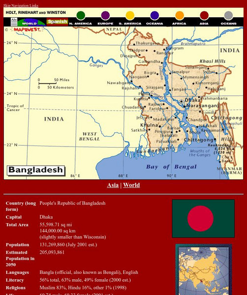
Holt, Rinehart and Winston: World Atlas: Bangladesh
Find all the basic data on Bangladesh on this page. Contains a clear map from "MapQuest", flag and facts in a list format. Categories include languages, religions, life expectancy, currency, GDP, industry, agriculture and more.
Houghton Mifflin Harcourt
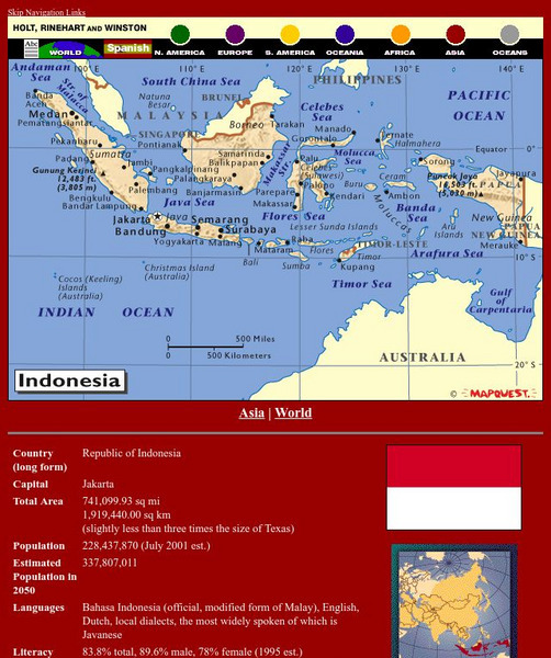
Holt, Rinehart and Winston: World Atlas: Indonesia
Find all the basic data on Indonesia on this page. Contains a clear map from "MapQuest", flag and facts in a list format. Categories include languages, religions, life expectancy, currency, GDP, industry, agriculture and more.
Houghton Mifflin Harcourt
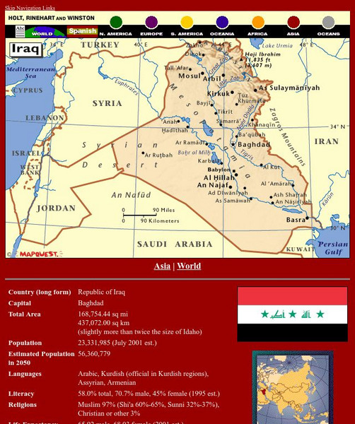
Holt, Rinehart and Winston: World Atlas: Iraq
Find all the basic data on Iraq on this page. Contains a clear map from "MapQuest", flag and facts in a list format. Categories include languages, religions, life expectancy, currency, GDP, industry, agriculture and more.
Houghton Mifflin Harcourt
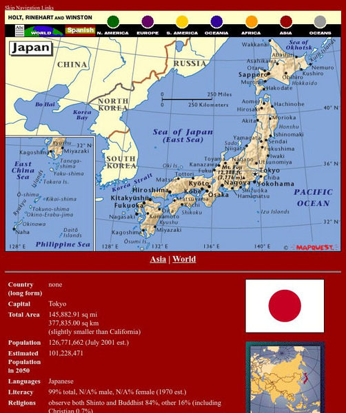
Holt, Rinehart and Winston: World Atlas: Japan
Find all the basic data on Japan on this page. Contains a clear map from "MapQuest", flag and facts in a list format. Categories include languages, religions, life expectancy, currency, GDP, industry, agriculture and more.
Houghton Mifflin Harcourt
Holt, Rinehart and Winston: World Atlas: Peru
Find all the basic data on Peru on this page. Contains a clear map from "MapQuest", flag and facts in a list format. Categories include languages, religions, life expectancy, currency, GDP, industry, agriculture and more.
ClassFlow
Class Flow: Continents of the World
[Free Registration/Login Required] This flipchart is devoted to identifying, locating, and learning facts about the 7 continents. It contains interactive maps, facts, and a short video at the end.
Houghton Mifflin Harcourt
Holt, Rinehart and Winston: World Atlas: Israel
Find all the basic data on Israel on this page. Contains a clear map from "MapQuest", flag and facts in a list format. Categories include languages, religions, life expectancy, currency, GDP, industry, agriculture and more.
Annenberg Foundation
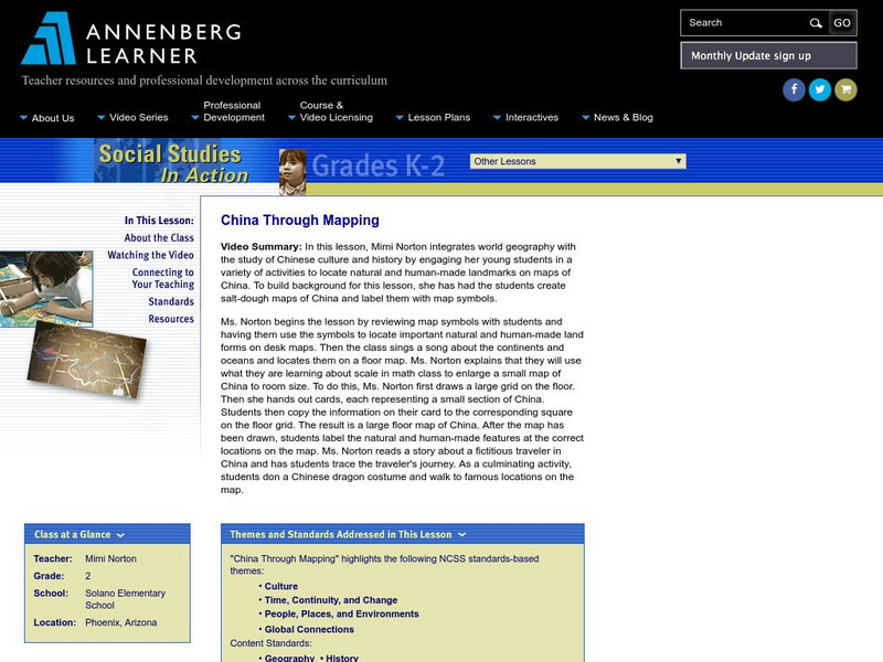
Annenberg Learner: China Through Mapping
For this lesson, Mimi Norton integrates world geography with the study of Chinese culture and history by engaging her young students in a variety of activities to locate natural and human-made landmarks on maps of China. To build...
The Wild Classroom
The Wild Classroom: Biomes of the World: Desert Biome
Learn all about the Desert biome. Find out about plants, animals, adaptations, and conservation efforts.
Other
Ordnance Survey: Mapzone: Gis Zone
Understand the digitalization of maps at the end of te twentieth century. Discover what GIS stands for, what it does, and how it helps many people in the world.
TeachEngineering
Teach Engineering: Robotic Perimeter
Students learn and practice how to find the perimeter of a polygonal shape. Using a ruler, they measure model rooms made of construction paper walls. They learn about other tools, such as a robot, that can help them take measurements....
Wisc-Online
Wisc Online: European Union
This is an animated resource that lists countries that have joined the European Union. Includes dates and maps of the countries.
Other
University of Delaware: Plate Tectonics
This site is a very simple overview of plate tectonics. It includes a map of all the major plates and a diagram of the layers of the earth.
E-learning for Kids
E Learning for Kids: Math: Riksjas, Toek Toek: Position
Students will play an interactive game to explore maps, routes, and locations of objects.
E-learning for Kids
E Learning for Kids: Science: Antarctica: What Is Position and Reference Point?
With all the snow and ice in Antarctica, it's easy to get lost. Help Tim find his way using a map and a compass.
Curated OER
Argent map.gif (53047 Bytes)
Thorough, informative site about the country of Argentina. Besides factual information, this location also features a journal and photographs of the "World of Wonders" expedition.
Other popular searches
- World War Ii Map
- World War I Map
- World War 2 Map
- World War I Outline Map
- World Climate Map
- World Biomes Map
- World Outline Map
- Blank Map of the World
- World Political Map
- Ancient World Greece Map
- World Time Zone Map
- Deciduous Forests Map World


