Curated OER
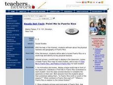
Point Me to Puerto Rico
Students research the physical features and geography of Puerto Rico as well as locate it on a world map and identify its major characteristics. Pictures and postcards are shown to each class for a visual connection to Puerto Rico as...
Curated OER
Reef Attack
Students identify the locations of coral reefs. In this oceanography lesson, students use the Coral Reefs website to locate the coral reefs on a world map and discuss ways to help protect the coral reefs.
Curated OER
Journey on the Underground Railroad
Students use Indiana and Michigan state road maps to trace a route to Canada from Madison, IN. with the many possible stops along the way. They make a picture book that depicts a runaway slave's journey on UCR.
Curated OER
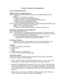
Pickles to Pittsburgh
Third graders explore the geography in the book "Pickles to Pittsburgh" by Judy Barrett. They read the story and identify the physical features of the town, discuss the elements included on a map, and create a map of the town of...
Curated OER
Are There Really Fifty-Three Nations Within Africa?
Students color a map showing that Africa consists of 53 nations and recognize the difference between a nation and a continent. The main objective of this activity is for students to realize that Africa is a continent with many nations...
Curated OER
CyberHunt: Ahoy! Columbus
Students research Christopher Columbus. In this world history instructional activity, students complete a WebQuest by using suggested website links. Students click on each link and answer questions about Columbus based upon the website.
Curated OER
This Is Tanzania
Young scholars begin the lesson by locating Tanzania on a world map. While reading an article, they note what the author's opinion is of the people who live there and discover the connection the people have with the land. They examine...
Curated OER
Max's Math Adventures
In this math worksheet, students read a rhyming poem about Max's adventure, then answer a word problem, complete 5 questions using a map of the bicycle route Max used.
Curated OER
Toy Making and Resourcefulness
Students demonstrate their understanding of resourcefulness by making a toy and describing how they were resourceful. They find Malawi on a map and tell the interesting things about the book Galimoto.
Curated OER
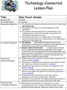
Rain Forest Animals
Students research rainforest animals from the book The Great Kapok Tree. They create an animal presentation using PowerPoint. Pupils demonstrate their comprehension of the interdependence of the animals, people, and plants in the...
Curated OER
Strega Nona Lesson Plan
Students explore story characters as well as cause and effect. In this Strega Nona lesson plan, students read a wide range of print and non-print texts to build an understanding of texts, of themselves, and of the cultures of the United...
Curated OER
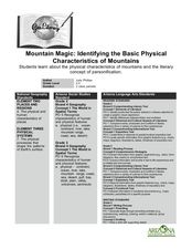
Mountain Magic: Identifying the Basic Physical Characteristics of Mountains
Students read about and identify on maps the physical characteristics of mountains. For this mountains lesson plan, students also write about the characteristics using personification.
Curated OER
Opening Doors to Social Studies with Children's Literature: The Desert Alphabet Book
Students explore the geography of the United States. In this social studies instructional activity, students identify the major deserts on a map of the United States.
Curated OER
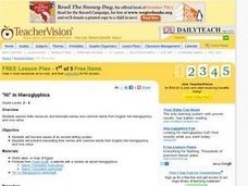
"Hi" in Hieroglyphics
Young scholars locate Egypt on a world map. They discover the use of the ancient writing system of hieroglyphics. They practice writing their name and translating words to hieroglyphics
Curated OER
Natural Resources
Young scholars use magazines and newspapers to examine the Earth's natural resources. They identify ways that natural resources are protected, threatened, managed and mismanaged. They find the location of each story on a world map and...
Curated OER
Antarctica
Third graders become familiar with Antarctica, the Earth's southernmost continent, by researching its environment and inhabitants. They reference maps, conduct Internet research, identify animals, create graphs and write reports.
Curated OER
Landforms
Young scholars begin their examination of landforms. Using a map, they locate and identify the major landforms on Earth. They discuss how landforms affect the lifestyle of the community and determine which goods and services the...
Curated OER
African Folktales Lesson
Students explore what a folktale consists of as it relates to oral tradition. In this folktale lesson, students are told the African folktale, Why the Sun is Lives in the Sky and make personal inferences about what the folktale is...
Curated OER
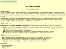
Filigree Jewelry
Young scholars describe physical and human characteristics of North Africa and the Middle East, plot on a map areas populated by nomadic people in those areas, explain importance of filigree jewelry in Arab culture, and create their own...
Project SMART
Rocks and Minerals: Touch the Earth
Students complete a unit of lessons on rocks and minerals. They conduct research, write e-mail questions to geologists, write daily journal entries, label maps demonstrating types of rocks/minerals found, and create a web page that...
Curated OER
Traveling on the Sea of Gold: An Adventure in Japan Through Literature
Learners explore the geography and culture of Japan through the story "Sea of Gold" by Yoshiko Uchida. They draw a travel poster of Japan, label a map of Japan, use chopsticks to eat Cheerios, read and discuss various books about Japan,...
Curated OER
Collage/Assemblage
Students identify different shapes and patterns. They locate France on a world map and examine the works of artist, Henri Matisse. They discover shapes that are related to Math.
Curated OER
Ojala que viajemos a Mexico!
Learners research the names and locations of Spanish speaking countries throughout the world. They use a world map to become familiar with the locations of these countries and use the Internet to conduct further research. They sing...
Curated OER
What I Dream For:
Students investigate about the life and work of Martin Luther King Jr., watching video clips from unitedstreaming. They identify ways that they can help make Martin Luther's dream of peace a reality. Pupils identify contributions that...
Other popular searches
- World War Ii Map
- World War I Map
- World War 2 Map
- World War I Outline Map
- World Climate Map
- World Biomes Map
- World Outline Map
- Blank Map of the World
- World Political Map
- Ancient World Greece Map
- World Time Zone Map
- Deciduous Forests Map World
