ClassFlow
Class Flow: Global Knowledge Where in the World Am I?
[Free Registration/Login Required] This flipchart explains the division of the hemispheres, northern and southern, and eastern and western. The Equator and Prime Meridian are defined, as well as latitude and longitude. Students are given...
National Geographic
National Geographic: To Build an Island
"This lesson gives students a basic overview of the geography of islands. They learn where islands are located throughout the world and will study two very different island groups (the Philippines and the British Isles) to illustrate the...
PBS
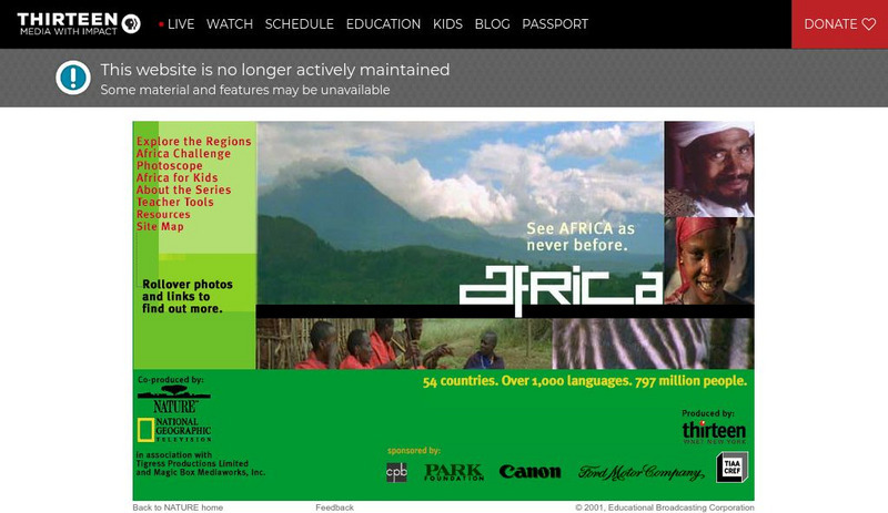
Wnet: Thirteen: Africa: Teacher's Guide
Explore the world of Africa through these teacher's guides. This site features teacher tools for middle school age students.
Houghton Mifflin Harcourt
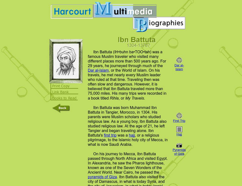
Harcourt: Biographies: Ibn Battuta 1304 1378
Discover some interesting details about the life of this fascinating Muslim leader. Read about his travels as he journeyed around the world and the incredible places he visited. Click on the globes for maps of his journey.
Adventure Learning Foundation
Adventure Learning Foundation: Argentina Expedition
Thorough, informative site about the country of Argentina. Besides factual information, this location also features a journal and photographs of the "World of Wonders" expedition.
Enchanted Learning
Enchanted Learning: Geography
At this site from Enchanted Learning, you can take a quiz, printout a map of the United States of America, and see where the Middle East is located in the world. Links are also provided for additional information.
Other
Worldbiomes.com: Tundra Biome
Directed toward elementary students, this site provides an overview of the tundra biome. Included are the arctic vs. alpine tundras, links to related biome web sites, world map of biomes, and photographs of the tundra biome.
Other
Worldbiomes.com: Desert Biome
Directed toward elementary students, this site provides an overview of the desert biome. Included are the many kinds of deserts, links to related biome web sites, world map of biomes, and photographs of the desert biome.
National Geographic Kids
National Geographic Kids: Nepal
Nepal lies between China and India in South Asia. The country is slightly larger than the state of Arkansas. Nepal has the greatest altitude change of any location on Earth. The lowlands are at sea level and the mountains of the...
Adventure Learning Foundation
Adventure Learning Foundation: Patagonia
Thorough, informative site about the region of Patagonia. Besides factual information, this location also features a journal and photographs of the "World of Wonders" expedition.
Adventure Learning Foundation
Adventure Learning Foundation: Chile Expedition
Thorough, informative site about the country of Chile. Besides factual information, this location also features a journal and photographs of the "World of Wonders" expedition.
University of Illinois
University of Illinois Extension: Forever Friends: Traveling to Asia
Take a virtual trip to several countries in Asia, guided by knowledgeable young people who will help you understand the culture and special allures of each country. Short videos are included. A map and activities relating to the...
Math Is Fun
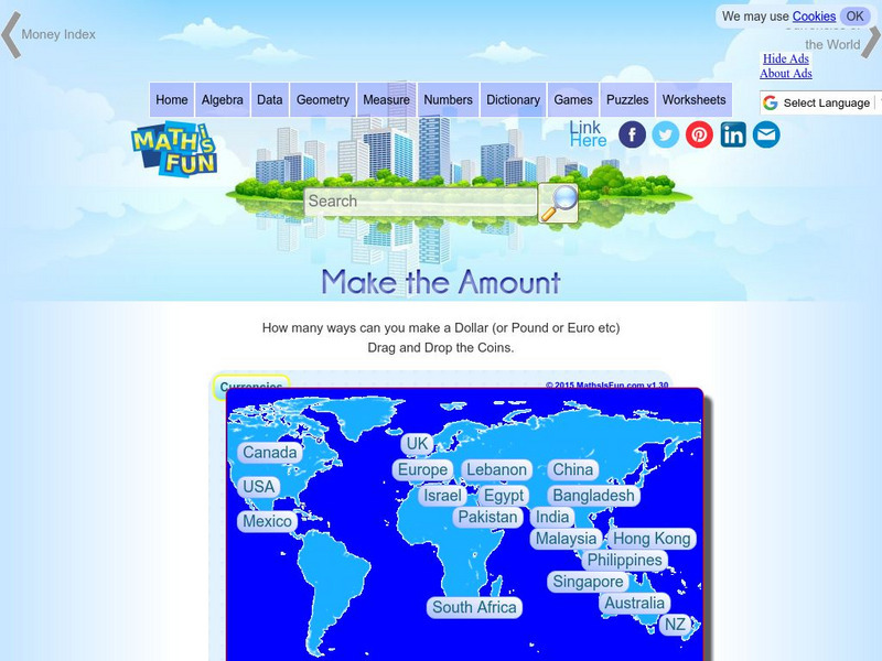
Math Is Fun: Make the Amount
Choose from one of the countries on the map and put coins and bills together to make the money amount shown. Some of the currencies are not in dollars and cents, but as you add a coin or bill, the money you have accumulated appears at...
TeachEngineering
Teach Engineering: Build an Anemometer
Students create their own anemometers which are instruments for measuring wind speed. They see how an anemometer measures wind speed by taking measurements at various school locations. They also learn about different types of...
Digital Dialects
Digital Dialects: Geography Games: Oceans and Seas
Study a labeled world map showing the oceans and seas, and then try to match their names to their locations on a blank map.
Philharmonia Orchestra
Philharmonia Orchestra: Instruments
Learn about various instruments of the world, where they came from and how they sound. Click on the colorful map to be taken to that section of the world and discover the instruments found there.
Other
Escolar: Mapas De Continentes, Mapas Politicos Y Mapas De Paises
Check out this sizable selection of different maps of continents, countries, and states. Each page will give you additional information about the particular country or state.
Other
University of Delaware: Plate Tectonics
This site is a very simple overview of plate tectonics. It includes a map of all the major plates and a diagram of the layers of the earth.
Enchanted Learning
Enchanted Learning: Zoom School: China
Learn about the fourth-largest country in the world at this site from Zoom School. Explore China's Great Wall, its people, animals, and more, and find maps and basic information about its geography, flag, government, and so on.
Curated OER
Madagascar Map
The natural history of the African island nation of Madagascar is revealed at this site. The world's fourth largest island, Madagascar is currently home to a rich diversity of wildlife, including lemurs, chameleons, spiny globefish, and...
Curated OER
Namib Map
Explore the Namib Desert and learn about its location, the Skeleton Coast, mirages, and general information about this home to the highest sand dunes in the world.
E-learning for Kids
E Learning for Kids: Math: Food Market: Centimeters and Millimeters
Mila is comparing fruits at the fruit market. Join her on this adventure!
Ducksters
Ducksters: Geography Games: Flags of Asia
Play this fun geography map game to learn about the flags of the countries of Asia.
Ducksters
Ducksters: Geography Games: Flags of Europe
Play this fun geography map game to learn about the flags of the countries of Europe.
Other popular searches
- World War Ii Map
- World War I Map
- World War 2 Map
- World War I Outline Map
- World Climate Map
- World Biomes Map
- World Outline Map
- Blank Map of the World
- World Political Map
- Ancient World Greece Map
- World Time Zone Map
- Deciduous Forests Map World


