Curated OER
Appreciating The World By Learning About Landforms
Children can learn about the Earth's landforms and develop a greater appreciation of our world.
Curated OER
Deer Hunting Pros and Cons
Learners research, form an opinion, brainstorm pros and cons and support their own opinion after researching the pros and cons of deer hunting.
Curated OER
Get Your Kicks on Route 66
Students research when and why Route 66 was started and how mom and pop businesses fit in with Route 66. Students associate what they've learned with the song.
Curated OER
Weather Or Not
Students use the internet to find pen pals to share in their weather experiment. Individually, they research the high and low temperatures for cities within the United States and email the results to their pen pal. They also develop a...
Curated OER
Country/State Flip-Book
Students produce books on a chosen state or country. The pages are cut to be the shape of the area being studied, and students creatively design each page to reflect the information being presented.
Curated OER
Around The World
Students search the Internet through a sequence of steps to reach the country of their nationality. They research and collect information about their country.
Curated OER
Communities
Students examine the similarities and differences between rural, suburban, and urban communities. They read about type of community in their social studies textbook, analyze the differences between Tokyo and Chicago, and complete a chart...
Curated OER
Exploring Japan Through Learning Centers
Students explore the Japanese culture and literature through various learning centers. They compare and contrast story details in two stories and complete a Venn diagram. After comparing the stories, they rotate to different centers and...
Curated OER
My Top Interdisciplinary Social Studies Lesson Plans
Here are some top social studies lesson plans and activities which present concepts in a memorable fashion.
Soft Schools
Soft Schools: Geography/map Skills Quiz
In this ten question quiz, students can assess their understanding of key geographical features on maps.
Other
Jayzeebear.com: The World Online Map Game
Want a fun way to practice map skills and to learn geography? This colorful interactive online game is great for students.
PBS
Pbs Wisconsin Education: Into the Map
In this learning module, students will explore the world of geography by creating and analyzing maps.
National Geographic
National Geographic: Geographic Groceries
This site provides activities and lesson plans for all age levels on mapping.
Other
Edte.ch: Maths Maps
Maths Maps is a collaborative project where participants use Google maps to choose a location within one of the cities highlighted, then create a Math problem about the site. The problems are marked on the map with various colors...
Other
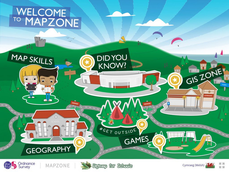
Ordnance Survey: Map Zone
All kinds of fun and interesting ways to learn about maps and acquire mapping skills.
SMART Technologies
Smart: Geography Unit: Maps
This geography unit is designed to follow the 1st Grade geography skills required in Virginia. Students are expected to use cardinal directions, read map keys and understand map symbols, as well as identify our city and capital.
Enchanted Learning
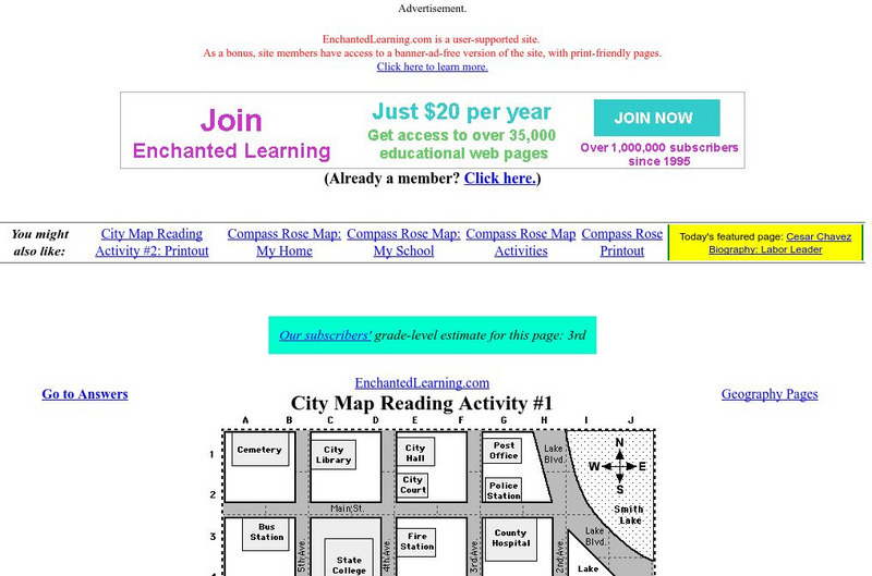
Enchanted Learning: City Map Reading Activity #1
Using a diagram of a labeled map, students follow the directions given to find a certain location.
Enchanted Learning
Enchanted Learning: Map Reading Activity #1
At this site from Enchanted Learning, students can use this printable worksheet and then follow the directions given and practice their map reading skills.
E-learning for Kids
E Learning for Kids: Science: Antarctica: What Is Position and Reference Point?
With all the snow and ice in Antarctica, it's easy to get lost. Help Tim find his way using a map and a compass.
Digital Dialects
Digital Dialects: Geography Games: States of the Usa
Study a map showing the states in the USA, and then try to match their names to their locations on a blank map.
Digital Dialects
Digital Dialects: Geography Games: Oceans and Seas
Study a labeled world map showing the oceans and seas, and then try to match their names to their locations on a blank map.
Ducksters
Ducksters: Geography for Kids: Venezuela
A site containing information about the Geography of Venezuela. Study the history, capital, flag, climate, terrain, people, economy, and population.
Ducksters
Ducksters: United States Geography for Kids: New Hampshire
Kids learn facts and geography about the state of New Hampshire including symbols, flag, capital, bodies of water, industry, borders, population, fun facts, GDP, famous people, and major cities.
PBS
Pbs Learning Media: Montana: The Borders of Montana
Students will study a map of Montana's terrain, learn about natural and manmade boundaries, label the major features of the state, and pick which area of Montana would be best for settlement and explain why.
Other popular searches
- Geography Map Skills
- Geography Map Reading Skills
- Geography Map Skills Scale
- Geography and Map Skills
- Geography Map Skills Europe
- Usa Geography Map Skills
- Geography Map Skills Us
- Canada Geography Map Skills
- Map Skills Geography Themes
- Geography Map Skills Ohio
- Geography Beginning Map Skills
