Curated OER
Lesson Design Archaeology- U.S. Map
Students examine the U.S. map and identify cultural areas. In this archaeology lesson, students locate cultural areas on the U.S. map and fill in the proper locations.
Peace Corps
Weather and Water in Ghana
Students investigate the climate of their region. Students research statistics and conduct interviews. Students take a virtual tour of Ghana and discuss its climate. Students consider water conservation and the role it plays in both...
Curated OER
George Washington Teaches Map Directions
Learners follow teacher given directions, either oral or written to plot points on a grid to create a profile of George Washington. They apply cardinal and ordinal directions to find the points on the grid.
Curated OER
What Was It Like?
Students use the Internet to gather historical facts about the county in which they live. Using the information, they discover how to check it for accuracy and present their findings to the class. They write an essay about the history of...
Houghton Mifflin Harcourt
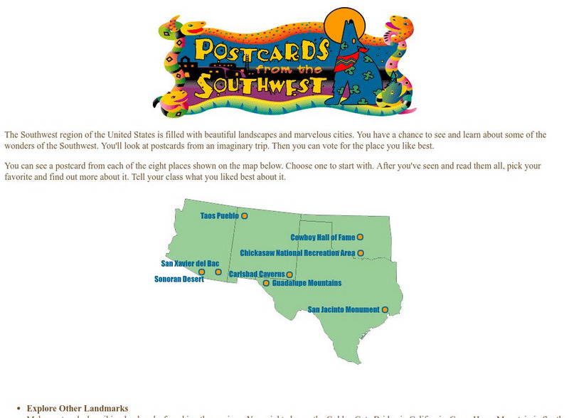
Harcourt: School Publishers: Postcards From the Southwest
The Southwest region of the United States is filled with beautiful landscapes and marvelous cities. Use this site to see and learn about some of the wonders of the Southwest. You'll look at postcards from an imaginary trip. Then you can...


