Hi, what do you want to do?
Curated OER
Get Your Kicks on Route 66
Pupils research when and why Route 66 was started and how mom and pop businesses fit in with Route 66. Students associate what they've learned with the song.
Curated OER
Nunavut, Our Communities
Students research the Online Atlas of Canada to locate the communities of Nunavut. Students examine the geographic area and characteristics of the communities.
Curated OER
It's A Jungle Out There!
Students report on an animal according to its appearance, habitat, and characteristics.
Curated OER
Lesson 2: Mapping With Words
Students demonstrate an understanding of the personal relationship that Wabanaki peoples had with the land by analyzing selected Wabanaki place names. They practice map-reading and map-making skills.
Curated OER
Jelly Critters
Learners compare and contrast three different organisms that are considered gelatinous zooplankton. They describe how they fit into marine food webs.
Curated OER
Lambert Castle Museum, Great Falls, NJ
Students complete a variety of activities that go along with the study of the 1913 silk strike in Great Falls, NJ. They examine evidence of historic industries and how they have changed in their own community.
Curated OER
Haiku
Students study various forms of poetry and the culture of Japan. They are introduced to a haiku- a traditional form of poetry and an art form in the Japanese culture. They write a haiku and create a student haiku booklet with the classes...
Curated OER
A River Mosaic#136
Students determine the meaning of culture as it applies to groups of people. They examine how immigration changes the cultural attribute of a geographic location. They design a Big Book that describes cultural mosaics.
Curated OER
Boundaries
Students are introduced to the term of mental mapping. Individually, they develop their own mental map of Washington state and discuss as a class what makes a boundary. They draw their mental map on paper and compare it with their...
Curated OER
Got Biodiversity?
Learners examine the concept of biodiversity. Using the internet, they complete small activities in which they work together. Using the information they collected, they create a class book, make murals and write in their journals.
Curated OER
Investigating Haiti
Students engage in a lesson that is about the island of Haiti. They conduct research using a variety of resources. The information is used in order to help students locate the island on a map. They answer questions while participating in...
Curated OER
Censusmania
Students discover the meaning of census, discuss the 2000 census, and the importance of filling out the form and returning it to the census bureau. They review the census sheet from New Castle County in 1850, observing the headings of...
Curated OER
Through A Pinhole
Learners construct a pinhole camera using their knowledge of the physics of light. This interdisciplinary activity give students hands-on experience in understanding the production and processing of photographic images.
World Geography Games
World Geography Games: Continents
A simple game where one must identify each continent on a world map as its name is presented.
NASA
Nasa: World Map Puzzle
This site from the National Aeornautics and Space Administration provides an interesting activity with a relief map and its correlation with space. "Wouldn't it be fun to make your own miniature world, complete with mountains, valleys,...
National Geographic
National Geographic: Mapping the World's Watersheds
In this lesson, students use a world map to locate and label major rivers and their watersheds. They then compare watershed shapes and look at typographical features that determine their shapes. A vocabulary list with definitions is...
Soft Schools
Soft Schools: Map of the 7 Continents of the World Game
A quick game where students drag and drop the name of each continent onto the correct location on an interactive world map.
National Geographic
National Geographic: My Wonderful World: Geography Is 10 Cool Things
Why is geography important? You will find 10 reasons that answer this question on this concise but informative site.
ABCya
Ab Cya: World Bingo
World Bingo is a great way for children and adults to test their knowledge on the different countries of the world! With questions ranging from things like capitals, flags, and landmarks, you're bound to learn something new!
National Endowment for the Humanities
Neh: Edsit Ement: Mapping Our Worlds
In this lesson, introduce your learners to the world of maps and discover a world of information online. Students learn how to identify different types of maps, comparing maps to the rooms of a house.
Other
Ordnance Survey: Mapzone: Geography
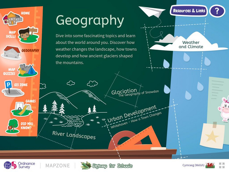
Take a look outside, at the landscape. Explore the world, the features of the earth, the impact of weather on the earth through this resource. Discover weather, climate, glaciation, rivers, and urban development.
World Geography Games
World Geography Games: Us States
Identify each state on a US map as its name is presented.
Smithsonian Institution
Smithsonian Education: From Old World to New World
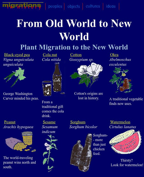
Plants have migrated around the world just like people. This site explains how several African plants and food crops made their way into American life.
Quia
Quia: Geography World: Landform Concentration
Play this fun game of Geography Concentration to practice your geography vocabulary and increase learning. After each game the cards change and new words and definitions are introduced. Users must enable JavaScript.
Other popular searches
- World War I Map
- Mapping Penny's World
- Map of the World
- World Outline Maps
- Blank Maps of World
- World War 2 Map
- World War 1 Maps
- World War I Outline Map
- Map of World
- World Climate Map
- Blank World Outline Maps
- World Biomes Map


