Curated OER
The Roman Empire-Map Activity
In this Roman Empire worksheet, students complete a map activity in which they label and color civilizations, countries and physical features as instructed. There are no maps included.
Curated OER
Africa: Political Map
Students create a political map for Africa. In this country identification lesson, students locate Africa on a globe and discuss some of its major countries and bodies of water. Students complete a political map of Africa and...
NOAA
Into the Deep
Take young scientists into the depths of the world's ocean with the second lesson of this three-part earth science series. After first drawing pictures representing how they imagine the bottom of the ocean to appear, young scholars...
Curated OER
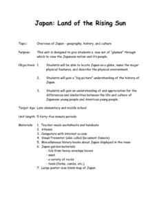
Japan: Land of the Rising Sun
Students locate Japan on a globe, name the major physical features, and describe the physical environment. They survey the differences and similarities between the life and culture of Japanese young people and American young people.
Curated OER
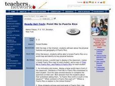
Point Me to Puerto Rico
Students research the physical features and geography of Puerto Rico as well as locate it on a world map and identify its major characteristics. Pictures and postcards are shown to each class for a visual connection to Puerto Rico as...


