Curated OER
Sunrise, Sunset: Quickly Go the Days
Students explore the concept of daylight. In this daylight lesson plan, students compare the amount of daylight on a particular day in Anchorage compared with daylight where they live. Students color maps of the US according to amount of...
Curated OER
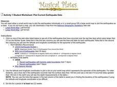
Plot Current Earthquake Data
Learners review earthquakes larger than 2.5 that have occurred over a span of several days using a given website reference. In this geology lesson, students plot epicenters on a world map and depth of the quake. All necessary...
Curated OER
Controlling the Flow of the Colorado River: A Study of Dams
Students research and map the Colorado River and its dams and predict the effects of a dam on an area. They suggest reasons a dam would be built and compare the Colorado River system with other major river systems within the US and...
Curated OER
Causation-Exploration and World Trade
Students investigate spice trade. In this world history lesson, students identify various spices in jars and their places of origin. Students listen to a lecture on how spices came to countries in Europe. Students complete a source...
Curated OER
It's About Time: Olympics, Winter Sports, Math, Media, Time Zones
Students use the Internet to determine broadcast times for the Winter Olympic Games snowboarding competitions. In determining these times, they need to consider time zones throughout the world.
Curated OER
Understanding Time Zones
Students investigate the times zones around the world. They discuss situations when it is important to know the time in different parts of the world and how to find it.
Curated OER
Group Research Project on Frog Habitats
Learners identify and research a frog habitat in small groups and compile a report to present to the class on the physical characteristics of their frog's environment. Students create a map illustrating areas in the world where their...
Curated OER
Art And Ecology: Check Out This Place!
In this art and ecology worksheet, students look at paintings and answer questions, using the painting, a world map and climate. There are 2 pictures, each with its own set of questions.
Curated OER
Five Themes of Geography and Current Events
Basically, pupils look for a current world event from a reputable source and identify the five themes of geography within it. Throughout the school year, they keep a notebook of these current events. A grading guideline is outlined, and...
Curated OER
Native Americans and Topography at Rose Bay
Students visit a wetland ecosystem. While they are there, students explore how to read topography maps of Rose Bay.
Curated OER
Growing Coral
Students define the words coral and coral reef, and identify the Great Barrier Reef on a map or a globe. They observe crystal formations that develop in a way similar to the way coral polyps create their calcium carbonate cups.
Curated OER
Human Migration in the United States
Students investigate the factors involved in human migration in the United States. Students analyze maps of different regions in the United States to determine how a variety of factors influence human settlement and development.
Curated OER
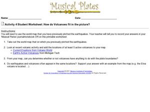
How do Volcanoes Fit in the Picture?
For this volcanoes worksheet, students look at maps and answer short answer questions about volcanoes, plate boundaries, and earthquakes. Students complete 4 questions.
Curated OER
Primary History: Ancient Greeks
For this ancient history worksheet, students examine the world of the ancient Greeks. They examine pictures of the Wooden Horse before making one with everyday items. They read about Odysseus and the characters in the story. They locate...
Curated OER
Canada...a Visual Journey
Students, in groups, research Canada's six natural regions (ecozones). They create a visual representation of each region on a large wall map of Canada and present it to the rest of the class.
Curated OER
Reef Attack
Students identify the locations of coral reefs. In this oceanography lesson, students use the Coral Reefs website to locate the coral reefs on a world map and discuss ways to help protect the coral reefs.
Curated OER
From Above
Students use maps and other geographic representations, tools, and technologies to acquire and report information from a spacial perspective.
Curated OER
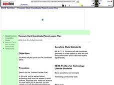
Coordinate Plane Treasure Hunt
Students create a treasure map by plotting points on a coordinate plane using a computer drawing program. Students name and identify different landmasses and structures on their map. They create instructions to find the treasure that...
Curated OER
Canada...A Visual Journey
Students work together to analyze the six natural regions of Canada. Using this information, they create a visual representation of each region on a large wall map and present it to the class. They must identify five key points of each...
Curated OER
The Diversity of Mammals
In this mammals activity, students use idea maps about monotremes, marsupials, and placental mammals to complete 3 short answer questions.
Curated OER
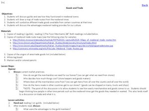
Goods and Trade
Students examine the trade that took place in Medieval Times. In this Middle Ages lesson, students read and discuss the roles of the guild members, the town merchants, and the individuals in trading goods. Students make maps of Medieval...
Curated OER
Where is the Water?
Students explore freshwater ecosystems. In this geography lesson, students brainstorm all the lakes and rivers they know then mark them on a map. Students will then mark all the major freshwater resources on each of the seven continents,...
Curated OER
Reading the newspaper
Middle schoolers read articles related to local, state, national, and world events using word maps.
Curated OER
Europe
Students examine the reasons how and why the European Union was formed. They locate Europe on a map and identify the countries in the European Union. They create a tourist brochure for one of the countries.
Other popular searches
- World War Ii Map
- World War I Map
- World War 2 Map
- World War I Outline Map
- World Climate Map
- World Biomes Map
- World Outline Map
- Blank Map of the World
- World Political Map
- Ancient World Greece Map
- World Time Zone Map
- Deciduous Forests Map World

