Curated OER
Chihauhan Desert Journaling Activity
Learners explore U.S. geography by completing an observational activity with classmates. In this New Mexico lesson, students research the Chihuahuan Desert by visiting several Internet sites. Learners write the data they've collected in...
Curated OER
A Tough Nut to Crack
Sixth graders explore agriculture by examining world geography. In this pecan cultivation lesson, 6th graders identify the history of the famous nut and the impact it has on the U.S. economy, diet and human body. Students define...
Curated OER
The Influence of Physical Geography
Students explore the limits and demands of their physical world and how it relates to the survival and well-being of people.
Curated OER
Bank Loans Money to Start Businesses
After locating Latin American countries on a world map, children read about how microbanks are loaning money to help start small businesses. Involving both current events and economics, the teacher introduces the article with a map...
Curated OER
Name the States Worksheet 1
In this name the states learning exercise, students examine 6 state map outlines and identify each of them by writing the state names and postal abbreviations.
Curated OER
The Day the Water Ran Out
Pupils explore ecosystems by researching desert characteristics. In this drought lesson, students identify the potential impacts of a drought on their home state and interview people who are familiar with water studies. Pupils...
National Museum of the American Indian
The A:Shiwi (Zuni) People: A Study in Environment, Adaptation, and Agricultural Practices
Discover the connection of native peoples to their natural world, including cultural and agricultural practices, by studying the Zuni people of the American Southwest. This lesson includes examining a poster's photographs, reading...
Curated OER
A Tough Nut to Crack
Children, based on a set of criteria, evaluate the quality of pecans. They research recorded history of pecan trees as well as how their seeds moved across western Missouri into southeastern Kansas, Oklahoma, Texas and Mexico. In...
Curated OER
Anagrams of World Cities
In this geography worksheet, students read and analyze a list of 25 world cities in which the letters are scrambled. Students write the names of the cities, then match them to one of the countries listed on the page. Example: SOLO...
Curated OER
Which Country?
In this geography worksheet, students study the names of 60 countries. Students indicate their home country by coloring its name in the word grid puzzle. Students then answer 8 questions about their country concerning what language is...
Curated OER
Mexican and American Views of Texas
Learners study the territorial status of Texas in 1830, 1840, and 1846 and interpret an historical timeline. They develop a general statement of Mexican and American views of Texas.
Curated OER
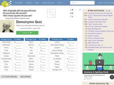
People from Places Quiz
In this online interactive geography quiz worksheet, students respond to 20 identification questions about what people from certain areas of the world are known as. Students have 4 minutes to complete the quiz.
Curated OER
Lost on Superstition Mountain
Students review the concept of responsbility and relate it to the own lives. Using the internet, they research the search for gold on Superstition Mountain in Arizona and locate it on a map. They also examine the culture of Mexico and...
Curated OER
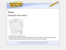
Texas Location Word Search
In this Texas location worksheet, students identify, locate and label twenty six significant Texas locations on a Texas map. Students also complete a word search containing the twenty six key locations.
Curated OER
50 States Word Search
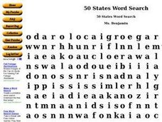
In this fifty states worksheet, students identify and locate all fifty states of the United States of America. There are 50 states located in the word search.
Curated OER
Drought Threatens Huge Man-Made Lake
Students locate Lake Mead, then read a news article about Lake Mead drying up and how that would effect water and power supplies to the region. In this current events lesson, the teacher introduces the article with a map and vocabulary...
National Gardening Association
Migration Mishaps
Elementary ecologists pretend to be migratory hummingbirds. They fly between wintering and nesting grounds, trying to reach a habitat haven. In a musical-chair fashion, some birds will miss out, and are removed from the game. To further...
Curated OER
We've got the whole world in our hands
Students explore spatial sense in regards to maps about the globe. In this maps lesson plan, students label oceans, locate the continents and poles, follow directions, and explain the symbols on a map.
Curated OER
Establishing Borders: The Expansion of the United States 1846-48
Students investigate how the United States acquired land after the Revolutionary War ended. In this establishing borders lesson, students use maps to identify territories acquired by the US and the states that later developed. Students...
Curated OER
States of Fitness
Young scholars participate in physical activities coordinating to divisions on a map.
Curated OER
3-D Posters
Students work in small groups to create 3-D posters to discourage throwing trash away and encourage recycling.
Curated OER
USA Immigration by Country Quiz
In this online interactive geography quiz worksheet, students respond to 30 identification questions about countries U.S. citizens have immigrated from. Students have 5 minutes to complete the quiz.
Curated OER
Mixing Up the Melting Pot
Students examine the cultures of indigenous peoples and how they have or have not assimilated into modern society. They create reports with recommendations on how the Nukak of Columbia could be assimilated into society.
