National Wildlife Federation
Quantifying Land Changes Over Time Using Landsat
"Humans have become a geologic agent comparable to erosion and [volcanic] eruptions ..." Paul J. Crutzen, a Nobel Prize-winning atmospheric chemist. Using Landsat imagery, scholars create a grid showing land use type, such as urban,...
Curated OER
Environmental Changes from Space
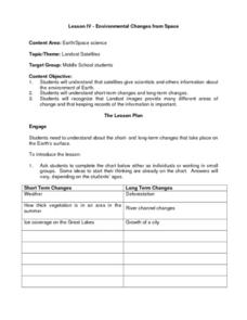
Students discuss Landsat Satellites and the use of the images they provide as well as the purpose of keeping records of the information from the satellites. The class works in groups to complete a worksheet on short term and long term...


