Hi, what do you want to do?
International Technology Education Association
Become a Weather Wizard
Accurate weather forecasting is something we take for granted today, making it easy to forget how complex it can be to predict the weather. Learn more about the terms and symbols used to forecast the weather with an earth science lesson...
Do2Learn
Days and Weather Picture Cards
Weather happens everyday. Print these color weather cards onto card stock, laminate them, and use them in a daily weather forecasting routine that practices calendar skills and daily weather identification.
Curated OER
Weather Forecasting
Students examine cold, warm, and stationary fronts. They also examine the roles of relative humidity and the way air masses move. They are to create forecasts based on the information they collect. Tapes are shared with the class.
Curated OER
Weather Forecast
Students explore the vocabulary for making statements about the weather in various cities. They respond with the use of the appropriate interpretive strategies to show the directions in the taget language for placing weather symbols on...
Curated OER
The Weather
Students explore earth science by reading articles in class. In this weather identification lesson, students analyze weather science articles on the Internet and view their own local weather patterns as well. Students define a list of...
Curated OER
Predicting Storms and Weather
Young scholars use weather pattern worksheets to research how weather is predicted. In this weather prediction lesson plan, students predict the weather based on the wind, rain, currents, and other patterns.
Curated OER
Reading a Local and National Weather Map
High schoolers examine weather maps. They examine icons and map symbols. Students explore vocabulary words related to weather. High schoolers analyze and evaluate information provided on the weather map.
Curated OER
Reading a Local and National Weather Map
High schoolers practice reading a national and local weather map. Using this information, they work together to make predictions about the weather for the next few days. They discuss the use of symbols and maps as a class and discuss...
Curated OER
Creating a Thematic Map
Students create and analyze a weather-related data table and a thematic map based upon information provided.
Curated OER
Weather Map Challenge
In this weather worksheet, students use a weather map to answer ten questions about the information found on a weather map and what the symbols mean. They find the cities with the highest and lowest temperature as well as the cities...
Curated OER
Weather Prediction
In this weather worksheet, students review vocabulary words and concepts associated with predicting the weather. Students understand what a meteorologist studies. This worksheet has 7 matching, 10 fill in the blank, and 5 short answer...
Curated OER
Weather Conditions
High schoolers list and name various kinds of weather conditions occurring in their city. Using the newspaper as a resource, students answer questions relating to written weather reports. This instructional activity is intended for high...
Curated OER
Storm Clouds-- Fly over a Late Winter Storm onboard a NASA Earth Observing Satellite
Students study cloud data and weather maps to explore cloud activity. In this cloud data lesson students locate latitude and longitude coordinates and determine cloud cover percentages.
Curated OER
Creating Station Models
Students work in groups to interpret weather maps. They use latitude and longitude readings to complete a worksheet together and turn in the worksheet along with the maps and a rubric.
Curated OER
Fronts
In this fronts learning exercise, students use two diagrams to answer 12 fill in the blank questions about fronts, weather patterns, and clouds. Then students complete 2 short answer questions.
Curated OER
Making Sense of Unusual Findings
Pupils work on the development of observation skills and seeing how they can be used in different contexts. The lesson is good for helping the beginner and novice, along with encouraging and reminding the expert observer of right practices.
Science Struck
Science Struck: A List of All Weather Symbols and Their Meanings
Provides a comprehensive list of weather symbols used on weather maps.
Other
Bureau of Meteorology: The Weather Map
Explains what a weather map is and how it is prepared. Describes what weather maps show, typical weather patterns in Australia, the use of weather charts, temperature, and wind speed.
Other
American Meteorological Society: Data Streme Atmosphere
This site provides an extensive amount of weather information. Includes current information, forecasting, and historic weather related events. Weather map symbols and terminology explained.
CK-12 Foundation
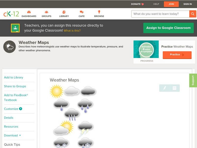
Ck 12: Earth Science: Weather Maps
[Free Registration/Login may be required to access all resource tools.] How meteorologists create and read weather maps.
University of Wisconsin
Atmospheric and Oceanic Sciences: Surface Weather Analysis
Explains the use of synoptic weather analysis in preparing weather maps and forecasting. Discusses the use of symbols as well.
New York Times
New York Times: Crossword Puzzle: Weather
The New York Times Learning Network has developed interactive and printable crossword puzzles. The theme of this one is weather.


