Hi, what do you want to do?
New York Times
New York Times: Crossword Puzzle: Weather
The New York Times Learning Network has developed interactive and printable crossword puzzles. The theme of this one is weather.
Adventure Learning Foundation
Adventure Learning Foundation: Brazil
Useful guide with an abundance of country specific information about the South American country of Brazil. Content covered includes photos, symbols, history, economy, geography, climate, population, culture, maps, and lesson plans.
World Atlas
World Atlas: Australia/oceania
Features a description of Oceania that although the smallest continent includes Australia, New Zealand, Papua New Guinea, and Micronesia. Click on any tab about the map to learn much information about its geography, symbols, natives, and...
World Atlas
World Atlas: Europe
A comprehensive guide to Europe including a variety of maps, statistics, facts, and information on history, geography, flags, symbols, travel, and much more.
World Atlas
World Atlas: United States of America
A comprehensive guide to the United States of America including a variety of maps, statistics, facts, and information on history, geography, flags, symbols, travel, and much more.
50 States
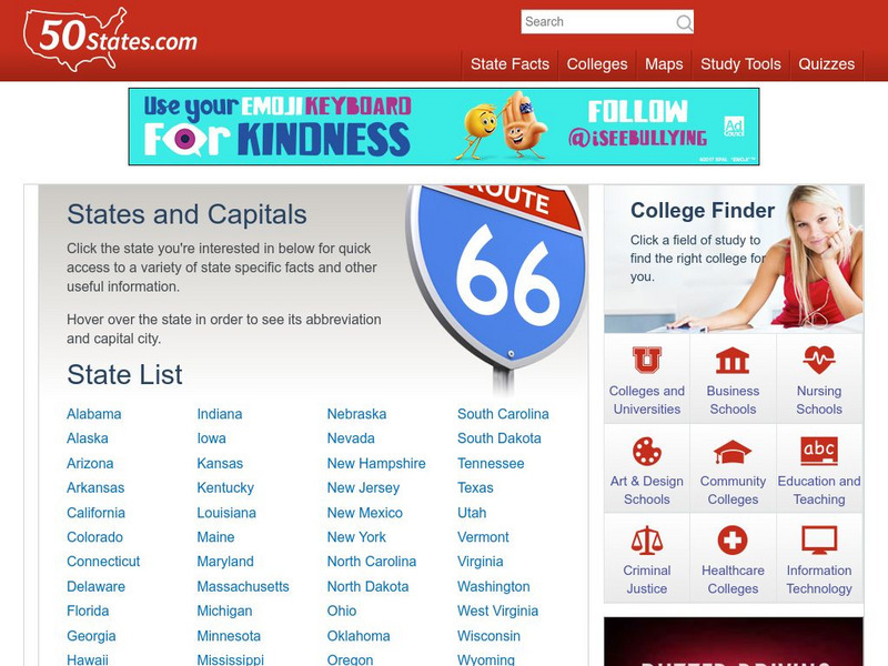
50 States: States and Capitals
This guide to the 50 U.S. states provides maps, pictures of state symbols, statistical information, and links to many other related sights. Test your knowledge with one of the quizzes or search for one of the fun facts.
Curated OER
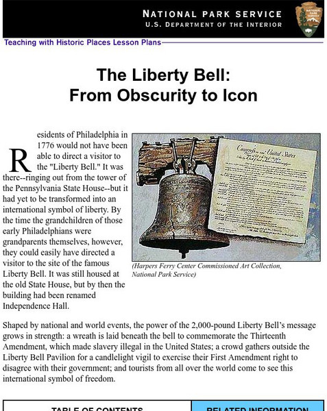
National Park Service: Teaching With Historic Places: The Liberty Bell
Teaching with Historic Places, in collaboration with the National Park Service, provides an extensive lesson plan on The Liberty Bell. Content is laid out with objectives, reading materials, corresponding maps and photographs, learning...
Curated OER
Educational Technology Clearinghouse: Maps Etc: Chart of Early Virginia, 1632
A map of the lower James River, Chesapeake Bay, and Accomack County, showing the early English settlements in the Virginia Colony in 1632. The map is keyed to show the extent of English settlement at the time, and shows the Native...
Other
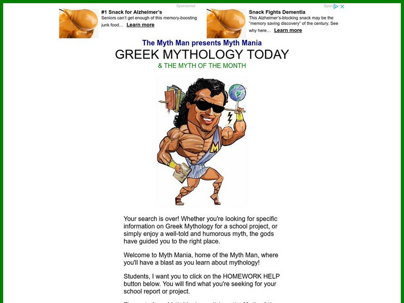
Greek Mythology Today and Myth of the Month
A large Greek mythology site focused on students and expressing a great love of Greek myth. Contains the Myth of the Month, as well as Homework Help concerning myths. Humorous and colorful.
Other
Country Reports: Colombia
This useful guide provides general country information about Colombia including topics such as culture, history, geography, economy, population, government, symbols, and a map. Some pages are only available to subscribers.
NSTATE
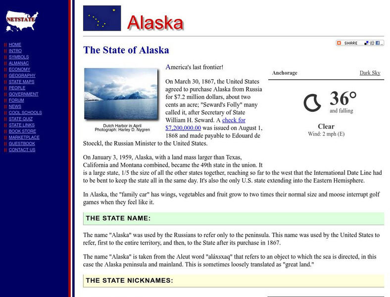
Alaska: The Last Frontier State
Offers basic information on the history, culture, economy, geography, people, and government of Alaska. Also, provides maps and an almanac of statistical facts.
Ducksters
Ducksters: United States Geography for Kids: New Hampshire
Kids learn facts and geography about the state of New Hampshire including symbols, flag, capital, bodies of water, industry, borders, population, fun facts, GDP, famous people, and major cities.
Curated OER
Ecuador Nature map.gif (10759 Bytes)
Comprehensive reference tool with an abundance of country specific information about the South American country of Ecuador. Content covered includes photos, symbols, provinces, history, economy, geography, climate, population, culture,...
Curated OER
Galapagos Map mc.gif (24108 Bytes)
Comprehensive reference tool with an abundance of country specific information about the South American country of Ecuador. Content covered includes photos, symbols, provinces, history, economy, geography, climate, population, culture,...
World Atlas
World Atlas: Angola
Learn some history of Angola then click on links to facts about geography, symbols, flags, tourism, and much more.
World Atlas
World Atlas: Syrian Arab Republic
Features a description and history of the Syrian Arab Republic with links to information on its geography, symbols, flags, and more.
Curated OER
Etc: Plan of the Parliament House, Budapest, 1885 1902
This is a plan of the Parliament House in Budapest, Hungary. It is an example of Modern Architecture. Construction lasted from 1885 to 1902. The Parliament House is located on Pest's Riverbank. The building is a symbol of Hungary's...
Other
Pennsylvania Historical and Museum Commission: Pennsylvania State History
Find an extensive history of the state of Pennsylvania, along with illustrated essays on Pennsylvania people, places, and events. Visitors can also access an interesting mix of primary source documents related to Pennsylvania's heritage,...
Commonwealth of Pennsylvania
Pennsylvania Historical and Museum Commission: Pennsylvania State History
Find an extensive history of the state of Pennsylvania, along with illustrated essays on Pennsylvania people, places, and events. Visitors can also access an interesting mix of primary source documents related to Pennsylvania's heritage,...
Curated OER
M Colombia politico.jpg (271104 Bytes)
Comprehensive reference tool with an abundance of country specific information about the South American country of Colombia. Content covered includes photos, symbols, history, economy, geography, climate, population, culture, maps, and...
Curated OER
Cr M01.gif (25783 Bytes)
Comprehensive reference tool with an abundance of country specific information about the Central American country of Costa Rica. Content covered includes photos, symbols, history, economy, geography, climate, population, culture, maps,...
Curated OER
Costa Rica provinces.png (7296 Bytes)
Comprehensive reference tool with an abundance of country specific information about the Central American country of Costa Rica. Content covered includes photos, symbols, history, economy, geography, climate, population, culture, maps,...
Curated OER
Adventure Learning Foundation: Bolivia
Comprehensive reference tool with an abundance of country specific information about the South American country of Bolivia. Content covered includes photos, symbols, provinces, history, economy, geography, climate, population, culture,...
Curated OER
Bolivia departments.png (10876 Bytes)
Comprehensive reference tool with an abundance of country specific information about the South American country of Bolivia. Content covered includes photos, symbols, provinces, history, economy, geography, climate, population, culture,...
Other popular searches
- Weather Map Symbols
- Weather Map Weather Symbols
- Topographic Map Symbols
- Map Symbols First Grade
- Teaching Map Symbols
- Geography Map Symbols
- Os Map Symbols
- Map Symbols and Neighborhood
- Location/ Map Symbols
- Wetaher Map Symbols
- Reading Weather Map Symbols
- Weather Map Symbols Exercise


