Hi, what do you want to do?
Curated OER
Stargazers And Skywatchers
Students recognize the daily motion of the Sun across the sky, defining the main directions of east, west, south and north. They see how the first calendars were based on changes in the Sun's noontime elevation, and on locations of...
Curated OER
Circle the Earth - Explore Surface Types on a Journey around Earth
Students use CERES percent coverage surface data with a world map in locating landmasses and bodies of water at Earth's Equator.
Curated OER
Essential Services
Young scholars discuss necessary community services then complete a worksheet by filling in essential services, the needed inputs and outputs produced by fulfilling the service.
Curated OER
Mechanics Hall
Students complete a variety of activities that go along with the study of and possible fieldtrip to Mechanics Hall (Black River Valley) in Worcester, MA. They examine the role industrial development had in society at the turn of the...
Curated OER
Aruba Cloud Cover Measured by Satellite
Students analyze cloud cover over Aruba. They compose and submit written conclusions which include data, analysis, errors in data collection, and references.
Curated OER
An Arctic Expedition
Students become familiar with the Arctic region and the difficulties of scientific research by designing and developing an expedition to an "unknown" place. They use the library and the Internet in order to do their research. They...
Other
California State University: Topographic Map Symbols
Click on any of the geographical terms on this website to see examples that illustrate the symbols commonly used on maps. Includes boundaries, building symbols, caves, mines, elevation symbols, coastal features, and more.
Other
The Smithsonian: Lewis & Clark: Mapping the West
The Smithsonian's EdGate project provides this illustrated narrative site that explores the mapping of the American West accomplished by the 1804-06 Lewis and Clark expedition.
CK-12 Foundation
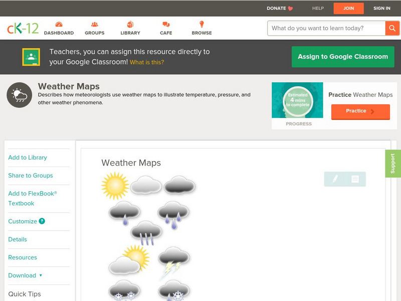
Ck 12: Earth Science: Weather Maps
[Free Registration/Login may be required to access all resource tools.] How meteorologists create and read weather maps.
Other
American Meteorological Society: Data Streme Atmosphere
This site provides an extensive amount of weather information. Includes current information, forecasting, and historic weather related events. Weather map symbols and terminology explained.
Other
Bureau of Meteorology: The Weather Map
Explains what a weather map is and how it is prepared. Describes what weather maps show, typical weather patterns in Australia, the use of weather charts, temperature, and wind speed.
US Geological Survey
Usgs: Geologic Maps
This site has a good description of what this particular type of map represents. It also explains the colors and letter symbols, faults, and strike and dips.
Science Struck
Science Struck: A List of All Weather Symbols and Their Meanings
Provides a comprehensive list of weather symbols used on weather maps.
National Geographic
National Geographic: Mapmaker Interactive
Interactive map maker in which students can manipulate world maps adding layers and data with multiple sources of information.
University of California
Us Geological Survey: Cartogram Central
The USGS offers detailed information on Types of Cartograms, Congressional Districts, Software for Cartograms, Publications, and a Carto-Gallery.
Other
Homework Online: Lord of the Flies, the Map
Here is a small concept map drawn based on the descriptions of the island in William Golding's novel, Lord of the Flies.
World Atlas
World Atlas: Taiwan
A comprehensive website on Taiwan. Includes colored maps, geographic information, and articles. Click on any tab above the maps to find much more information on topics such as famous Taiwanese, flags, symbols, travel, weather, and lots...
University of Wisconsin
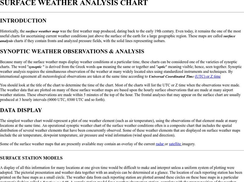
Atmospheric and Oceanic Sciences: Surface Weather Analysis
Explains the use of synoptic weather analysis in preparing weather maps and forecasting. Discusses the use of symbols as well.
Adventure Learning Foundation
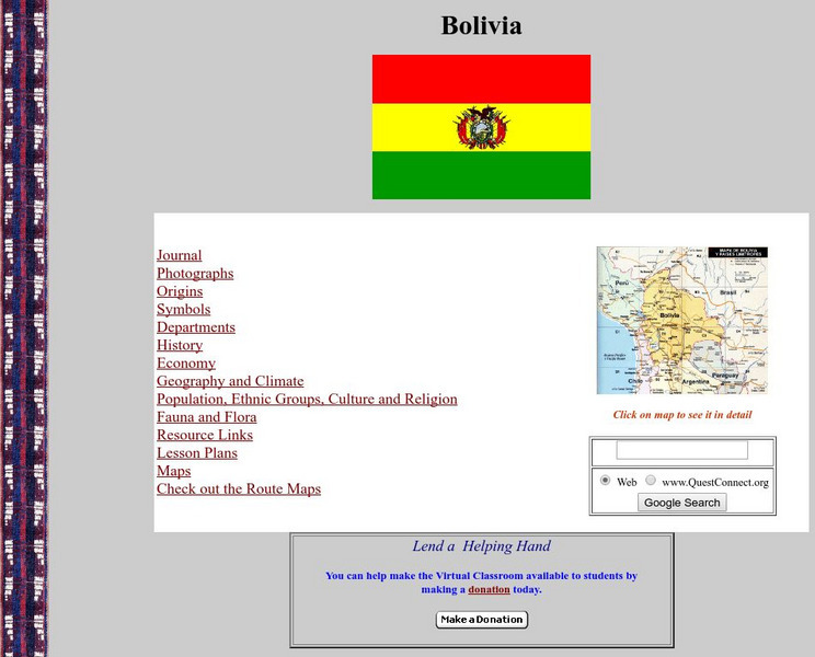
Adventure Learning Foundation: Bolivia
Comprehensive reference tool with an abundance of country specific information about the South American country of Bolivia. Content covered includes photos, symbols, provinces, history, economy, geography, climate, population, culture,...
Adventure Learning Foundation
Adventure Learning Foundation: Costa Rica
Comprehensive reference tool with an abundance of country specific information about the Central American country of Costa Rica. Content covered includes photos, symbols, history, economy, geography, climate, population, culture, maps,...
Adventure Learning Foundation
Adventure Learning Foundation: Panama
Comprehensive reference tool with an abundance of country specific information about the Central American country of Panama. Content covered includes photos, symbols, history, economy, maps, and lesson plans.
Other
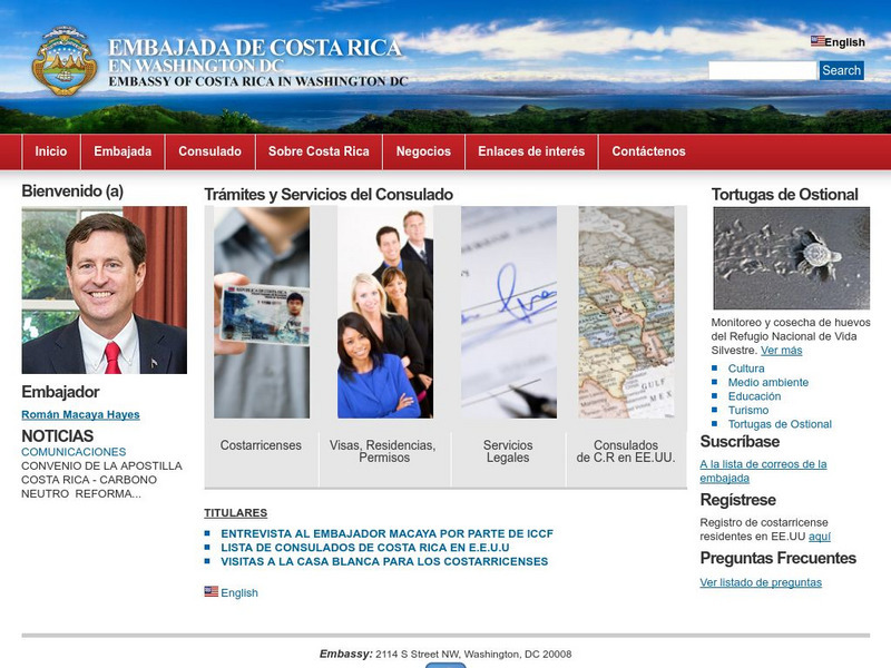
Embassy of Costa Rica in Washington, d.c.
The home of the official website of the Embassy of Costa Rica is full of excellent information about the government, geography, economy, culture, tourism, national symbols, and environment of this beautiful country. Includes photos and a...
Other
Embassy of Honduras in Washington, d.c.
This is the official website of the Embassy of Honduras in the United States. Has an abundance of information on tourist destinations and general facts on country-specific topics including art, geography, climate, government, history,...
Enchanted Learning
Enchanted Learning: Massachusetts
This site has a colorful display of information about Massachusetts. It contains a map, pictures, a list of state symbols, and links to related information.
Other popular searches
- Weather Map Symbols
- Weather Map Weather Symbols
- Topographic Map Symbols
- Map Symbols First Grade
- Teaching Map Symbols
- Geography Map Symbols
- Os Map Symbols
- Map Symbols and Neighborhood
- Location/ Map Symbols
- Wetaher Map Symbols
- Reading Weather Map Symbols
- Weather Map Symbols Exercise


