BBC
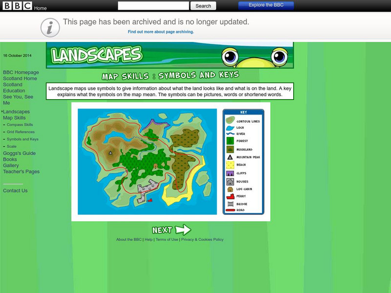
Bbc: Landscapes: Map Skills: Symbols and Keys
A guide for young learners to understand reading maps and their keys.
Enchanted Learning
Enchanted Learning: Texas Facts, Maps, and State Symbols
This site has a colorful display of information about Texas. It contains a map, pictures, a list of state symbols, and links to related information.
Enchanted Learning
Enchanted Learning: Pennsylvania: Facts, Map, and State Symbols
A list of key facts about the state of Pennsylvania, including information about Pennsylvania's state symbols. Useful extras for teachers include black-line masters of concept diagrams, maps, and thought organizers.
National Geographic
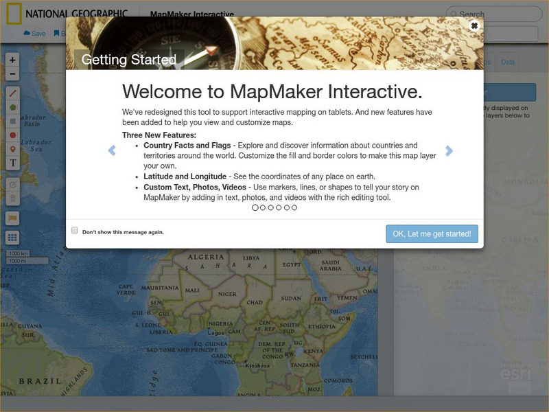
National Geographic: Mapmaker Interactive
Interactive map maker in which students can manipulate world maps adding layers and data with multiple sources of information.
ClassFlow
Class Flow: Parts of a Map
[Free Registration/Login Required] This flipchart explores the basic parts of a map including the map title, compass rose and map legend.
Annenberg Foundation
Annenberg Learner: China Through Mapping
For this lesson, Mimi Norton integrates world geography with the study of Chinese culture and history by engaging her young students in a variety of activities to locate natural and human-made landmarks on maps of China. To build...
HotChalk
Hot Chalk: Lesson Plans Page: Find Captain Hook's Treasure
Lesson that helps students understand maps, map directions, and map symbols. Students use teacher-created maps to locate numbered keys on the playground.
ClassFlow
Class Flow: Map Key
[Free Registration/Login Required] This flipchart introduces the purpose of a map, map symbols, and the map key or legend. Activote questions reinforce the concepts.
Other
Canadian Heritage: Provincial and Territorial Symbols
By following the hyperlinks on the image map of Canada, one can learn about the symbols of each province and territory, as well as connect with each of provincial and territorial web pages.
University of California
Us Geological Survey: Cartogram Central
The USGS offers detailed information on Types of Cartograms, Congressional Districts, Software for Cartograms, Publications, and a Carto-Gallery.
Other
Homework Online: Lord of the Flies, the Map
Here is a small concept map drawn based on the descriptions of the island in William Golding's novel, Lord of the Flies.
World Atlas
World Atlas: Taiwan
A comprehensive website on Taiwan. Includes colored maps, geographic information, and articles. Click on any tab above the maps to find much more information on topics such as famous Taiwanese, flags, symbols, travel, weather, and lots...
University of Wisconsin
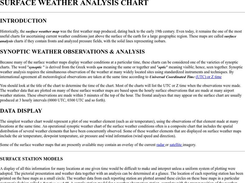
Atmospheric and Oceanic Sciences: Surface Weather Analysis
Explains the use of synoptic weather analysis in preparing weather maps and forecasting. Discusses the use of symbols as well.
Adventure Learning Foundation
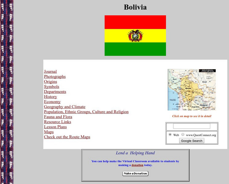
Adventure Learning Foundation: Bolivia
Comprehensive reference tool with an abundance of country specific information about the South American country of Bolivia. Content covered includes photos, symbols, provinces, history, economy, geography, climate, population, culture,...
Adventure Learning Foundation
Adventure Learning Foundation: Costa Rica
Comprehensive reference tool with an abundance of country specific information about the Central American country of Costa Rica. Content covered includes photos, symbols, history, economy, geography, climate, population, culture, maps,...
Adventure Learning Foundation
Adventure Learning Foundation: Panama
Comprehensive reference tool with an abundance of country specific information about the Central American country of Panama. Content covered includes photos, symbols, history, economy, maps, and lesson plans.
Other
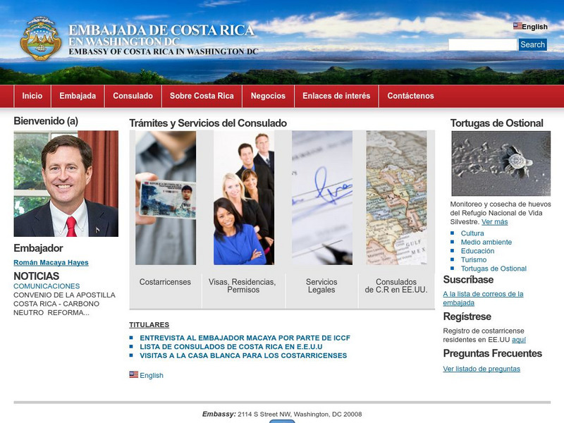
Embassy of Costa Rica in Washington, d.c.
The home of the official website of the Embassy of Costa Rica is full of excellent information about the government, geography, economy, culture, tourism, national symbols, and environment of this beautiful country. Includes photos and a...
Other
Embassy of Honduras in Washington, d.c.
This is the official website of the Embassy of Honduras in the United States. Has an abundance of information on tourist destinations and general facts on country-specific topics including art, geography, climate, government, history,...
Enchanted Learning
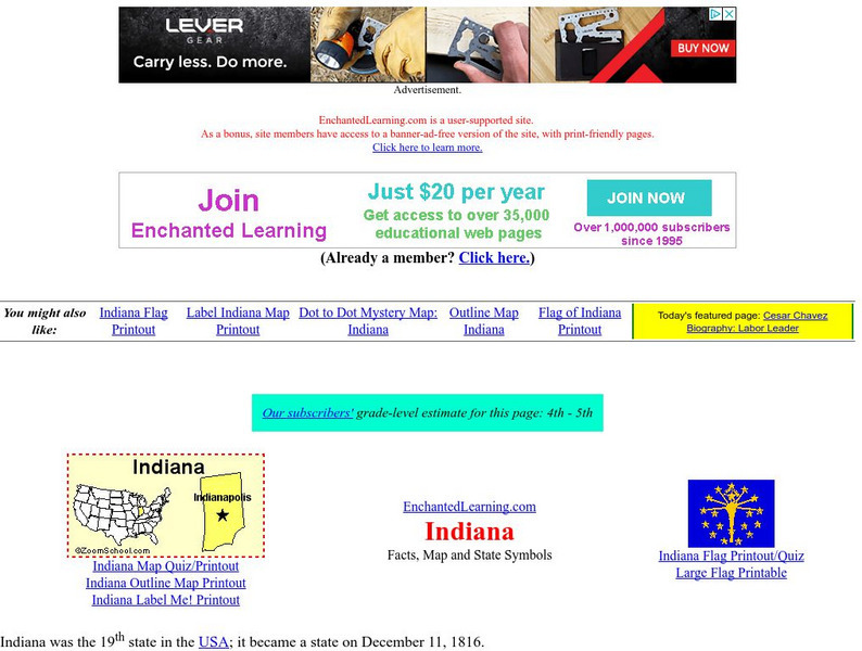
Enchanted Learning: Indiana
Enchanted Learning provides an Indiana fact sheet and map as well as a list of state symbols and links to related information.
Enchanted Learning
Enchanted Learning: Massachusetts
This site has a colorful display of information about Massachusetts. It contains a map, pictures, a list of state symbols, and links to related information.
Enchanted Learning
Enchanted Learning: New Mexico
This site has a colorful display of information about New Mexico. It contains a map, pictures, a list of state symbols, and links to related information.
Enchanted Learning
Enchanted Learning: Rhode Island
This site has a colorful display of information about Rhode Island. It contains a map, pictures, a list of state symbols, and links to related information.
Other
Office of the Prime Minister: Colouring Book
Colour six pictures of Canadian Symbols. Download the pictures and colour them with crayons or coloured pencils.
Enchanted Learning
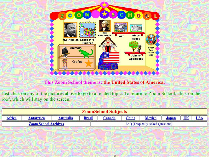
Enchanted Learning: Zoom School: United States of America
Use this resource to explore each state to get facts, maps and symbols; learn about the presidents; read about bald eagles and dinosaur fossils found in the U.S., find fun and exciting patriotic crafts and more.
Other popular searches
- Weather Map Symbols
- Weather Map Weather Symbols
- Topographic Map Symbols
- Map Symbols First Grade
- Teaching Map Symbols
- Geography Map Symbols
- Os Map Symbols
- Map Symbols and Neighborhood
- Location/ Map Symbols
- Wetaher Map Symbols
- Reading Weather Map Symbols
- Weather Map Symbols Exercise
