Curated OER
Warlugulong
Learners explore and appreciate variety of ways in which environment can be depicted for range of purposes. They compare different representations of place and environment, and analyze ways information is being communicated.
Curated OER
Circle the Earth - Explore Surface Types on a Journey around Earth
Learners use CERES percent coverage surface data with a world map in locating landmasses and bodies of water at Earth's Equator.
Science Struck
Science Struck: A List of All Weather Symbols and Their Meanings
Provides a comprehensive list of weather symbols used on weather maps.
CK-12 Foundation
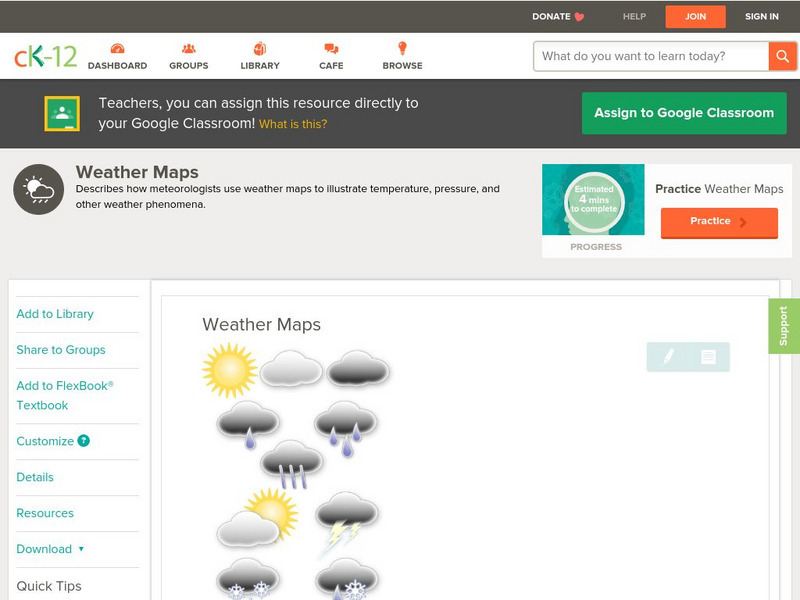
Ck 12: Earth Science: Weather Maps
[Free Registration/Login may be required to access all resource tools.] How meteorologists create and read weather maps.
University of Wisconsin
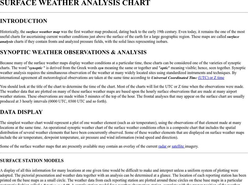
Atmospheric and Oceanic Sciences: Surface Weather Analysis
Explains the use of synoptic weather analysis in preparing weather maps and forecasting. Discusses the use of symbols as well.
Other
Bureau of Meteorology: The Weather Map
Explains what a weather map is and how it is prepared. Describes what weather maps show, typical weather patterns in Australia, the use of weather charts, temperature, and wind speed.
Other
American Meteorological Society: Data Streme Atmosphere
This site provides an extensive amount of weather information. Includes current information, forecasting, and historic weather related events. Weather map symbols and terminology explained.
New York Times
New York Times: Crossword Puzzle: Weather
The New York Times Learning Network has developed interactive and printable crossword puzzles. The theme of this one is weather.
Geographyiq
Geography Iq
Detailed geographical information on any country is available at this site. Within the World Map section, you can get facts and figures about each country's geography, demographics, government, political system, flags, historical and...
World Atlas
World Atlas: Taiwan
A comprehensive website on Taiwan. Includes colored maps, geographic information, and articles. Click on any tab above the maps to find much more information on topics such as famous Taiwanese, flags, symbols, travel, weather, and lots...
World Atlas
World Atlas: Canada
A comprehensive website on Canada. Includes colored maps, geographic information, and articles. Click on any tab above the maps to find much more information on topics such as famous Canadians, flags, symbols, travel, weather, and lots...
Other popular searches
- Weather Map Symbols
- Weather Map Weather Symbols
- Reading Weather Map Symbols
- Weather Map Symbols Exercise


