Curated OER
Geography of Canada
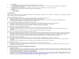
All about Canada! Learners explore the geography and providences of Canada by watching videos, studying maps and conducting internet research. By the end of this lesson, your class should be able to locate major areas and compare and...
Curated OER
Max Knows Mexicao, United States and Canada
Students utilize their map skills to explore the regions of North America. They explore the physical characteristics and climates of the regions. Students label their map and prepare a presentation of their findings.
Curated OER
Where Do Canadians Live?
Students investigate Canadian people by researching the geography of the country. For this world geography lesson, students identify locations within Canada with large populations based on their access to waterways. Students...
Curated OER
Learning about Africville
Students research the history of Africville in Canada and present their findings to the class.
Curated OER
History/Geography
Students review North America, Africa, Europe and Asia. They identify Australia as the smallest continent. They identify Australia as an island continent nicknamed "the land down under." They color a map of Australia.
Curated OER
Here and There: Discovering Communities Through the Olympic Torch Relay
Students compare their hometowns to the towns on the Olympic Torch Relay and complete multi-curricular activities for the lesson. In this Olympics lesson, students complete math, geography, science, and history activities to learn about...
Curated OER
Sense of Place Through the Eyes of an Inuit Children's Author
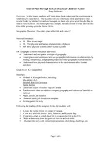
Students read books by Michael Arvaaluck Kusugak to explore life in the Artic Circle. After reading the books, students compare and contrast life in the Artic Circle to life in the United States. They write and illustrate a story about...
Curated OER
Prairies
Students identify the basic characteristics of the prairie ecosystem, and several commonly known prairie species. They create a classroom mural of a prairie ecosystem; and create reports about what they have found out.
Curated OER
State Heads
Young scholars create a narrative image that depicts a formal shape of a state. They review the state facts of whatever state they chose. They draw a person and then add text in the shape of the state they chose.
Other
Discover Canada Through National Maps and Facts: Relief
Links to all of Canada's provinces and territories relief maps. Maps can be viewed as a picture or as a .pdf file. Be sure to check out the links to lesson plans as well as the many other types of maps.
Other
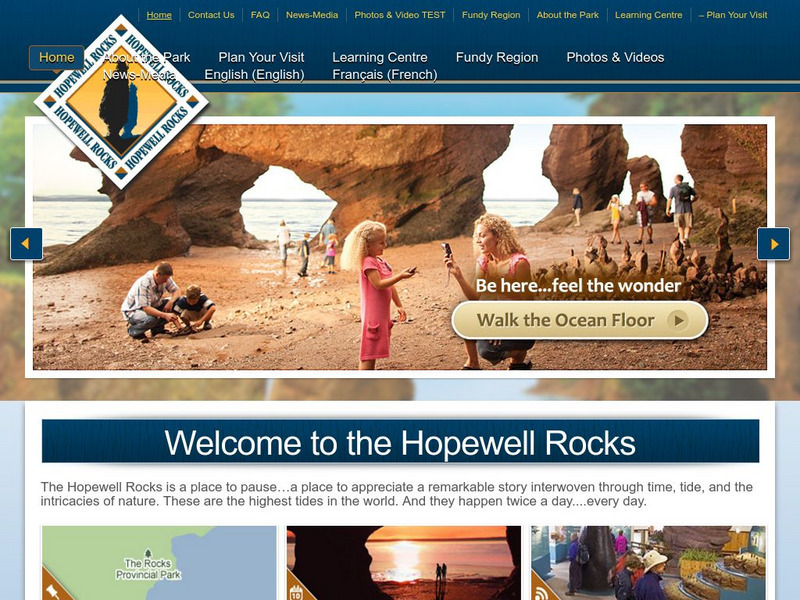
Hopewell Rocks Video
Visit the magnificent Hopewell Rocks and view the famous Flowerpot Rocks. See time lapse photography of the tides of the Bay of Fundy at both low and high tide. Video length 2:07
Other
Hopewell Rocks 360 Degrees Panorama
Take a panoramic tour of the famous Hopewell Rocks. Explore the ocean floor and the rock formations. Be careful! When the tides come in the water rises to a height of a four story building.
Other
Hopewell Rocks Photo Gallery
View this stunning collection of images showcasing Hopewell Rocks and the famous Flowerpot Rocks located in the Bay of Fundy.
abcteach
Abcteach: Maps
[Free Registration/Login Required] Find outline maps of the continents and the United States and Canada, as well as other country and city maps.
Other popular searches
- Canada Geography (Landforms)
- Canada Geography Regions
- Canada Geography Land Use
- Canada Geography Landforms
- Us and Canada Geography
- Canada Geography and Culture
- Canada Geography Word Search
- U.s. Canada Geography
- Canada Geography Poem
- Canada Geography Land Form
- Geography of Canada
- Geography Game Canada


