Other
Jefferson County Schools: Social Studies Presentations
This page has a large collection of PowerPoints for Social Studies created by teachers. Topics from primary to secondary grades are covered, and include American and World History and Geography.
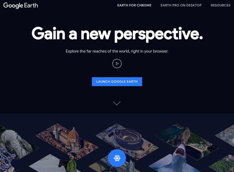
Google
Google Earth Explore, Search and Discover
Find a specific location in the world. View exotic locations, famous buildings, your own home! See the terrain and buildings in 3D. Search for restaurants, hotels, parks and schools within a certain area.
Utah Education Network
Uen: Lesson Plan: Map Trap
Lesson to reinforce maps skills and concepts. Young scholars map locations around their school and use world maps to locate major landmarks.
Better Lesson
Better Lesson: Water on Earth Liquid or Solid
Climates vary and understanding that water on earth reacts to the climate is a way to understand why water can be found as both liquid and solid on earth. Included in this lesson is a video of the activity in action, and an image of a...
Other
Jules Verne Voyager
Jules Verne Voyager is an interactive map tool for virtual exploration and comparative planetology of Earth and other worlds. Examine map creation with fully interactive pan and zoom accessing an extensive image selection.
Sesame Street
Sesame Street Games
These interactive games allow young children to explore the jungle, the oceans and the arctic regions. Children can look for animals in that area of the world.
Arizona State University
Arizona Geographic Alliance: Geo Literacy
Included in this database are lessons from the GeoLiteracy project. For all the materials you'll need to use a lesson plan, click a grade level and then on the lesson plan's name.
abcteach
Abcteach: Maps
[Free Registration/Login Required] Find outline maps of the continents and the United States and Canada, as well as other country and city maps.
ClassFlow
Class Flow: Name the Continents
[Free Registration/Login Required] This flipchart will allow students to label the continents and the oceans on a world map.
ClassFlow
Class Flow: Oceans
[Free Registration/Login Required] This fun 5 page flipchart is a great introduction to oceans for primary grades. It contains links to web sites about oceans, a cute star fish song, and water poem. It also displays the 4 oceans on a...
Maps of Mexico
Virtual Picture Travel Map of Massachusetts
Click on Massachusetts on the US map in order to Travel there and take a virtual tour of Boston. Visit places of interest such as Harvard University, MIT, John F. Kennedy Library and Museum, the Freedom Trail, Copley Square, Trinity...
Maps of Mexico
Virtual Picture Travel Map of Massachusetts
Click on Massachusetts on the US map in order to Travel there and take a virtual tour of Boston. Visit places of interest such as Harvard University, MIT, John F. Kennedy Library and Museum, the Freedom Trail, Copley Square, Trinity...
Discovery Education
Discovery Education: Lesson Plans Library K 5
This resource presents a lesson plan library which holds hundreds of lesson plans organized by grade level and subject area. Often rooted with an Internet research piece, each lesson plan contains specific objectives, procedures,...
E-learning for Kids
E Learning for Kids: Science: Greece: What Is the Earth Made Of?
Dionysus is a Greek God. and a theater director. Help him get ready for the play and learn about land, water, and air. After completing this lesson, students should be able to identify the different materials Earth is made up from (land,...
Other popular searches
- World War I Map
- Mapping Penny's World
- Map of the World
- World Outline Maps
- Blank Maps of World
- World War 2 Map
- World War 1 Maps
- World War I Outline Map
- Map of World
- World Climate Map
- Blank World Outline Maps
- World Biomes Map


