Curated OER
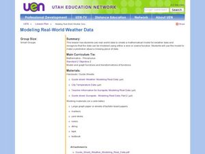
Creating a Mathematical Model Using Weather Data
Students explore the concept of mathematical models. In this mathematical model lesson, students create a mathematical model from data from 4 cities over 15 months. Students are told they are working for a weather station. Students...
Curated OER
Floods
Students explore Earth science by answering study questions on-line. In this natural disasters lesson plan, students research Australia flood statistics over the past 40 years and identify patterns. Students utilize the web to view...
Alabama Learning Exchange
Investigating the Weather
Learners study, record, and predict weather. They work in groups to create a weather word wall, research and make a barometer, and create a video about weather. They use the Internet to research weather.
Curated OER
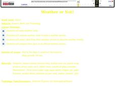
Weather or Not!
Seventh graders discuss weather. In this meteorology lesson plan, 7th graders view a movie on weather and take a quiz. They work in groups to make weather tools for a class weather station.
Curated OER
Sun and Weather
How is the Earth's weather created? Middle schoolers will explain how the Sun's energy is transformed into different forms. They will perform mathematical calculations of volume, mass, and temperature. They they will explain the...
Curated OER
Weather Report Chart
Students complete a weather report chart after studying weather patterns for a period of time. In this weather report instructional activity, students measure temperature, precipitation, cloud cover, wind speed, and wind direction for a...
Curated OER
Monitoring Estuarine Water Quality
Learners analyze water quality data from real data. In this environmental science lesson, students examine how salinity and dissolved oxygen affect the living organisms in the estuary. They interpret graphs to support or disprove a...
Curated OER
Building A Topographic Model
Students visualize, in three dimensions, features represented by contour lines on a topographic map. They see that the different elevations shown on a two dimensional topographic map can be used to build a 3-D model.


