Curated OER
United Kingdom
Students investigate the geographical features of the United Kingdom. They create a clay, playdoh, or salt and flour map of the region. The maps should be labeled with landmarks and bodies of water. They can also draw maps on paper for...
Curated OER
The Pilgrims
Students use distance measuring tools to follow directions and chart the path the pilgrims made from Plymouth, England to Boston, Massachusetts. In this Pilgrim voyage instructional activity, students use a map to chart the distance...
Curated OER
The Middle Ages
Students read books about the Middle Ages. They discuss characteristics of the Middle Ages. In groups, students construct a castle and draw a map to scale. Pupils create a Venn diagram comparing rules in different countries in the...
Curated OER
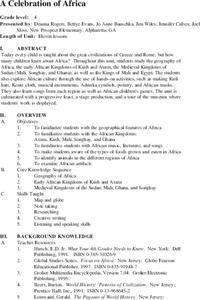
A Celebration of Africa
Students investigate early African civilizations. They create Kufi hats, musical instruments, pottery and African masks, sing songs, play African studenT games, and participate in a feast and tour of a museum where their artwork is...
Curated OER
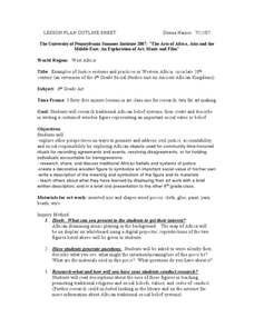
Examples of Justice Systems and Practices in Western Africa
Tenth graders explore African belief systems. In this West African lesson, 10th graders research these belief systems. Students create a wooden figure that represents these beliefs.


