Curated OER
Road Map to Success
Using three different graphic organizers, learners create a road map describing how they'll meet their future career goals. They research the career they are interested in, then use their findings to construct a time line, road map, and...
Curated OER
Genetic Testing: Road Map or Crystal Ball?
After looking at the many aspects of the issues behind genetic testing, students are exposed to the pros and cons and must take a stand by writing a position paper. They will view the "Who Gets to Know?" video and/or reading case studies...
Statistics Education Web
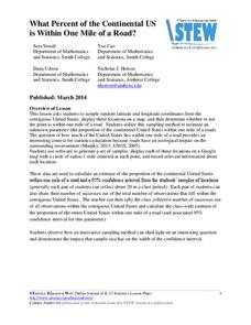
What Percent of the Continental US is Within One Mile of a Road?
There are places in the US where a road cannot be found for miles! The lesson plan asks learners to use random longitude and latitude coordinates within the US to collect data. They then determine the sample proportion and confidence...
Curated OER
Map Studies
Learners study maps and use web based activities to develop their mapping skills. In this mapping skills lesson, students use the internet to define cartography they make a list of information regarding a typical road map and explain the...
Curated OER
Introducing Topographic Maps: Guiding Students from Concrete Models to Graphic Representations
Students interpret topographic maps and infer human activity as it is influenced by the landscape.
Curated OER
Shopping for Souvenirs In the Middle East
Young scholars participate in a role play in which they are shopping for souvenirs in the Middle East. Using maps, they locate the Middle East and identify each country within the region. They create a key map for the types of...
Curated OER
Matrix Analysis of Networks
Explore the connection between a finite graph, a directed graph, and a matrix. Graph lines and identify the relationship of matrices in real-world scenarios. Then use this information to work with a partner to plan and design a town...
Curated OER
Playground Mapping
Learners review their physical models of the objects on their playground at school. Using the model, they convert it into a map with a scale and key. To end the lesson plan, they use the map to locate different objects and measure the...
Curated OER
Mapping The Ocean Floor
Young scholars explore and analyze the bottom structure of underwater habitats. They describe and explain what can't see through the collection and correlation of accurate data. Learners assess that technology is utilized as a tool for...
Curated OER
Finding Their New World
First graders place stickers on maps indicating their understanding of the cardinal directions. They locate Jamestown, England, the Atlantic, and Virginia.
Curated OER
Mapping the Ocean Floor
Students study the bottom structure of underwater habitats and how they can be mapped.
Curated OER
Science Excursion: Cover Mapping Land
Young scholars study remotely sensed images and topographic maps to classify land cover types in their watershed area. They take samples in the watershed area to interpret the images.
Curated OER
Hit The Trail
Young historians research one of the most colorful periods in US History: the cattle drives of the 1800's. They research the three most popular trails, and complete mapping and writing assignments about each one. The lesson plan has many...
Curated OER
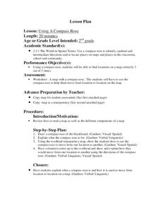
Using a Compass Rose
Second graders explore geography by completing a mapping activity in class. In this directional lesson, 2nd graders examine a map in class and utilize a compass rose to identify their location and destination. Students write directions...
Curated OER
Rosie's Walk
Young scholars use maps and globes to locate and describe locations, directions and scale. Using the maps, they identify man made or natural features of different environments. They practice using geographical terms to describe a...
Curated OER
Finding My Way
Students determine a route from their home to the Stones River National Battlefield. In this map work lesson, students use a detailed city map of Murfreesboro to locate a route to the Stones River National Battlefield. They follow...
Curated OER
Native American History
Fourth graders use a previous and current map of the state of Michigan to compare cities and roads. They look for names that come from the Native American culture. They participate in a class discussion to compare findings.
Curated OER
How Does Blood Circulate?
Fifth graders investigate the path of their blood through their heart and body. For this heart lesson, 5th graders recognize that blood travels in one direction through arteries and one through veins. Students complete worksheet about...
Curated OER
Coastal Surveys
Students investigate the human impact on coastal land. In this coastal surveys lesson plan, students choose a coastal area and complete a survey sheet about the area. They choose a topic about a sea side village called Dunwich to prepare...
Curated OER
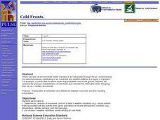
Cold Fronts
High schoolers determine its' direction of movement, and list at least five weather conditions associated with the specific front, given animations of several atmospheric variables during a cold front passage. They list at least three...
Curated OER
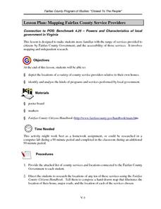
Mapping Fairfax County Service Providers
Middle schoolers brainstorm a list of services governments should have available to its citizens. Using the internet, they locate as many of these services as possible and compile a class list. They also analyze specific programs to...
Curated OER
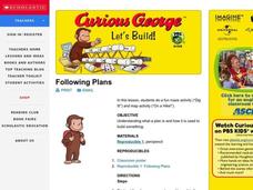
Let's Build
Students observe and discuss a picture of Curious George building a bridge and discuss what it means to build, plan and design a project. As a class, they list things they need to do in oder to build something and explore how a compass...
Curated OER
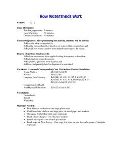
How Wathersheds Work
Students describe a watershed. They identify factors that effect the flow of water within a watershed. They explain how water can flow from inland waterways to the ocean.
Curated OER
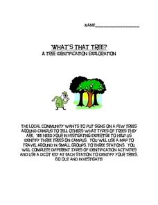
What's That Tree?
Fifth graders identify trees along a nature trail. Using a dichotomous key, 5th graders answer questions to aid in their identification of trees along a specified nature trail. Observations are recorded in their science journals. Sample...


