Parkwood Hill Intermediate
Map Skills Project
Young pupils develop their mapping skills and knowledge by designing their own islands, using geographic terms and physical features they have learned as features of their work.
Computer Science Unplugged
The Poor Cartographer—Graph Coloring
Color the town red. Demonstrate the concept of graph theory with a task that involves determining the least number of colors needed to color a map so that neighboring countries are not represented by the same color. Pupils...
Aurora Trust
Journey Under the Sea
Discover the interesting world of maritime archaeology and explorations under the sea with this nice set of worksheets, which cover such topics as search tools and techniques of underwater archaeology, carbon dating,...
National Geographic
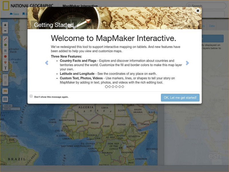
National Geographic: Map Maker Interactive and 1 Page Map Maker
This National Geographic feature allows visitors to create their own world maps complete with capitals, oceans, climate information, satellite view, personalized trail markings and more. Choose from a detailed color map or the second...
National Geographic
National Geographic: Reading a Resource Map
Students will study maps to recognize where natural resources are found through exercises provided.
TeachEngineering
Teach Engineering: Digital Mapping and Geographic Information Systems (Gis)
Geographic information systems (GIS), once used predominantly by experts in cartography and computer programming, have become pervasive in everyday business and consumer use. This unit explores GIS in general as a technology about which...


