Hi, what do you want to do?
SciShow
Did We Find Longitude Thanks To A...Clock?
The equator is a clear and accurate line around Earth that makes measuring latitude a precise science, but when it came to figuring out how to do that with longitude, British sailors were at a loss. Until they devised a competition....
SciShow
Did We Find Longitude Thanks To A...Clock?
The equator is a clear and accurate line around Earth that makes measuring latitude a precise science, but when it came to figuring out how to do that with longitude, British sailors were at a loss. Until they devised a competition.
Curated Video
Latitude and longitude
Pupil outcome: I can use latitude and longitude to locate places around the world. Key learning points: - Lines of latitude are horizontal circles on Earth, measured in degrees north or south of the Equator. - Lines of longitude are...
Makematic
Latitude and Longitude
Discover how the grid system of latitude and longitude helps us to navigate and understand our planet's geography.
Curated Video
What time is breakfast?
What time is it in Nairobi? See how standard time zones allow us to find out! People and places -Mapping - Time zones Learning Points The Earth is divided into around 24 time zones and each is exactly one hour different from the last....
Curated Video
Where on Earth are you?
Believe it or not only two numbers are needed to locate your exact position on Earth - your longitude and latitude! People and places -Mapping - Latitude and longitude Learning Points Longitude: imaginary lines that run vertically around...
Weird History
Bizarre Geography Facts From Around the World
We learn about geography in school. We have a basic understanding, or at least we should, of where places are, how they got there, and why they are that way. We piece together an image of the world in our heads based on maps and globes,...
Wonderscape
Exploring the World: Maps, Latitude, and Longitude
This video explains how world maps and globes help us understand the locations of places on Earth. Learn about key concepts like the equator, prime meridian, latitude, and longitude, and how they are used to pinpoint locations. Discover...
Curated Video
Geography Terms and Tools
Dr. Forrester teaches about landforms and bodies of water that cover the earth. She tells about how globes, maps, and atlases are ways to identify those landforms and bodies of water.
Curated Video
The Latitude-Longitude Grid
The Latitude-Longitude Grid applies knowledge of coordinates, equator, prime meridian, tropics, and hemispheres by locating places on a map or globe.
Wonderscape
Geography Kids: Reading and Navigating with Maps
This video explains the concept of maps and how to read them. It covers topics such as symbols, directions, scales, and the use of latitude and longitude. The video also highlights the importance of maps in navigation and understanding...
Visual Learning Systems
Earth's Reference Points
The video explains how to locate and describe positions on the Earth's surface using imaginary lines of latitude and longitude. It highlights the equator, the Prime Meridian, longitude, and latitude. The video provides examples of...
Mazz Media
Let's Talk Geography: Maps & Globes
Let's Talk Geography: Maps & Globes helps students to understand and identify the different parts of maps and globes. Through colorful, animated maps children will learn about lines of longitude and latitude and how to locate different...
Mazz Media
Discover the World: Locating Places
This program helps students to hone their map skills. Using colorful graphics and animation, students will come to understand the uses of map grids and the compass rose. In addition, viewers will learn how to locate any location on earth...
Other
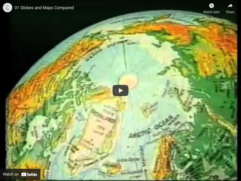
Globes and Maps Compared
Discusses what maps and globes are, the advantages and disadvantages of each, and key vocabulary. [8:48]
Next Vista for Learning
Next Vista for Learning: Longitude and Latitude
Understand what longitude, latitude, and prime meridian mean with this short video exploring map terminology. [1:31]


