Hi, what do you want to do?
Smarter Balanced
American West in the 1800s
To establish a context for an assessment or a study of pioneers and the American frontier in the 1800s, groups examine photos and record observations about clothing, housing, and travel.
Curated OER
Geography and Culture of China
Take out a map, a paper, a ruler, and those coveted colored pencils for a lesson plan on Chinese culture and geography. This is a multifaceted approach to basic geography skills that incorporate story telling, class discussion, primary...
Curated OER
Play Doh Map of Your State
Students create a state map using Playdoh. In this hands-on state geography lesson, students work in groups to form a three-dimensional map of their state using Playdoh made at home following a (given) recipe. Students use four...
Curated OER
Treaties
Young scholars explore Canadian maps. In this map skills and Canadian history lesson plan, students locate reserves that originated from treaties made while establishing the Saskatchewan First Nation reserve communities. Young scholars...
Curated OER
Project Map: Scale Worksheet
In this map reading worksheet, students determine the distance from a plotted treasure on a topographic map. They must adjust for magnetic declination.
Curated OER
Finding Your Way Around Wookey Hole Caves and Papermill
In this social studies worksheet, students examine a detailed map of a place called Wookey Hole Caves and Papermill. Students answer 8 questions about the map. It is not clear if the place on the map is real.
National Endowment for the Humanities
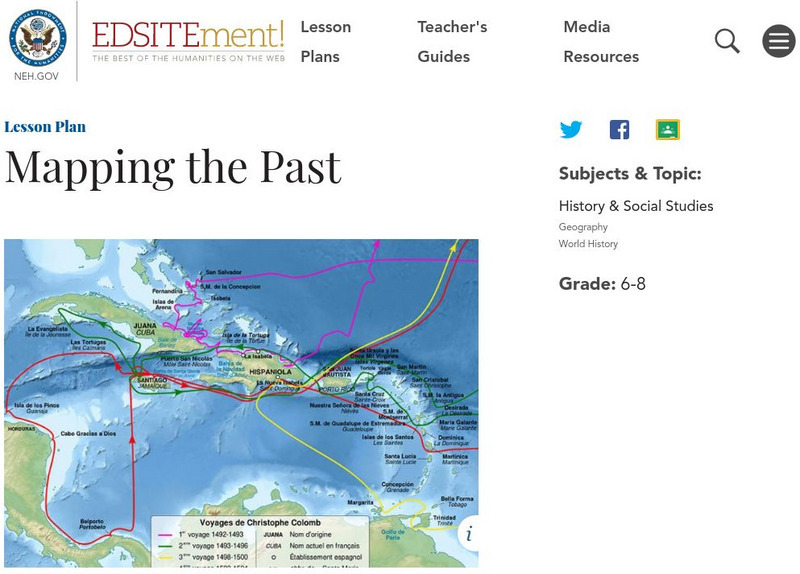
Neh: Edsit Ement: Mapping the Past
This lesson plan requires the students to examine past maps from various cultures in order to learn how the people from that time period interacted and understood their world.
University of California
Us Geological Survey: Cartogram Central
The USGS offers detailed information on Types of Cartograms, Congressional Districts, Software for Cartograms, Publications, and a Carto-Gallery.
Utah Education Network
Uen: Mapping It Out
Learn about Utah's environments, temperature, elevation, and rainfall.
Enchanted Learning
Enchanted Learning: Map Reading Activity #1
At this site from Enchanted Learning, students can use this printable worksheet and then follow the directions given and practice their map reading skills.


