Hi, what do you want to do?
BSCS Science Learning
Bscs: Stocking Rivers With Trout
This inquiry looks at fish farming and the management of trout by state environmental resource specialists in Colorado. Students will practice working with data generated from a statewide citizen science project called River Watch of...
BSCS Science Learning
Bscs: Heavy Metals in Waterways
This inquiry focuses on heavy metals in waterways in Colorado. Students will learn about heavy metals and data collected about them from citizen scientists, and then analyze the data in tables and maps to identify possible evidence of...
Other
Bscs: Restoring Oyster Reefs
In this self-directed instructional activity, students use data from the Chesapeake Bay estuary to determine suitable sites for oyster reef restoration. A handout with everything the student needs to complete this instructional activity...
Other
Bscs: Frog Symphony
For this self-directed lesson, students use maps and graphs of data to investigate the habitats and time of year and day to hear a full chorus of frogs. A handout with everything the student needs to complete this lesson is available as...
George Mason University
George Mason University: World History Sources: Maps
Learn about the history of maps, what makes a map a map, and why bother with maps. Get answers to many different map questions and much more.
Library of Congress
Loc: Portuguese Mapping the New World
The Library of Congress provides a discussion of the importance of Portugal in the "European Age of Discovery and Exploration." Includes links to related pages within this same Library of Congress site.
National Endowment for the Humanities
Neh: Edsit Ement: Mapping Our Worlds
In this lesson, introduce your students to the world of maps and discover a world of information online. Students learn how to identify different types of maps, comparing maps to the rooms of a house.
Library of Congress
Loc: Local History: Mapping My Spot
Students often think of history as tattered documents, worn photographs, and musty books, all of which have little or no relevance to their lives. Maps provide an often-overlooked source of information and a new and compelling...
Texas Instruments
Texas Instruments: A Move in the Right Direction
Students physically provide motion data that is collected by a CBL and then graph the data. They determine if they "moved in the right directions" by comparing their graph with those printed in the activity.
Texas Instruments
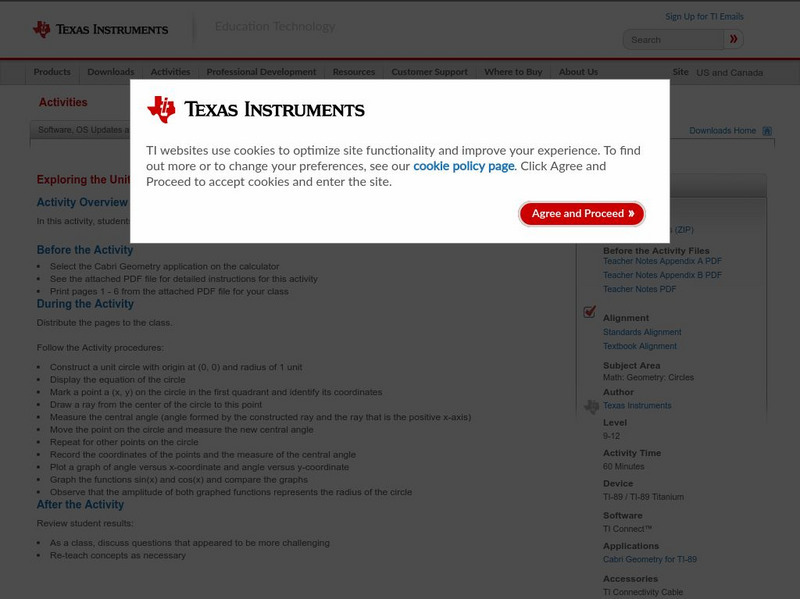
Texas Instruments: Exploring the Unit Circle
In this activity, students explore the properties of a unit circle and its mapping functions.
Science Education Resource Center at Carleton College
Serc: An Investigation Into Geologic Mapping: Quarry Park
In this geology field lab, students will map an area around Quarry 12 and Quarry 13 in Quarry Park. Using a field notebook, students will take field observations to later produce a basic geologic map, topographic map, and a...
Science Education Resource Center at Carleton College
Serc: Creating Custom Map Images of Earth and Other Worlds
Become familiar with Jules Verne Voyager, a freely-available online map tool that includes data for Earth as well as several other planets and moons. Create a variety of map images and then save and import the images into a presentation...
Science Education Resource Center at Carleton College
Serc: Litter Retriever With a Gps Receiver
Have you ever wondered why litter is in some locations and not others? You will use a Global Positioning System (GPS) to mark the locations of trash and trash cans around a local park or school campus, import the data into Google Earth,...
Cynthia J. O'Hora
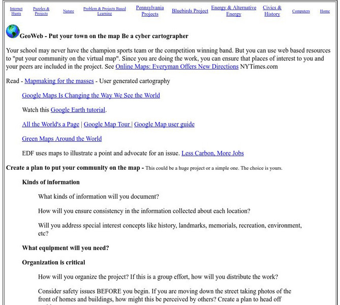
Mrs. O's House: Geo Web: Be a Cyber Cartographer
Take a close look at the resources provided and consider how students can put their school and/or community on the map. Discover cartography, virtual mapping, and points of interest in town or of the school.
Geographypods
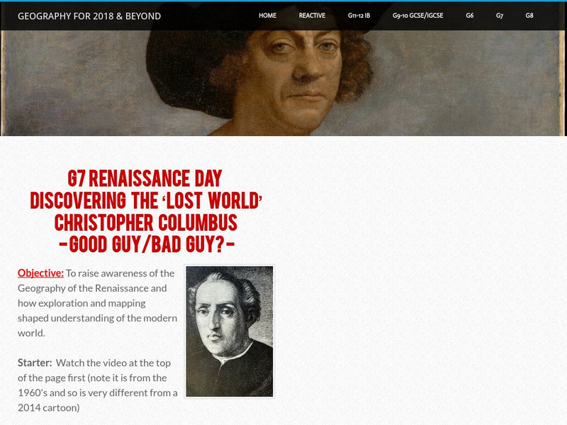
Geographypods: Renaissance Day: Discovering the 'Lost World'
Gain knowledge of how exploration, mapping, and voyages of the Renaissance period shaped and changed our understanding of the modern world.
Cynthia J. O'Hora
Mrs. O's House: Tree Inventory and Map Project
Canvas the neighborhood or school grounds to identify the quantity and types of trees found. Students will map out the area including all of the trees locations. Reviewing the map, students will determine whether areas may benefit from...
Harvard University
Harvard University: Maps and Mapping
This site is provided for by Harvard University. Students follow a map on a scavenger hunt, create a map of their classroom and their town, learn how to read topographic maps, and discover latitude and longitude in these inquiry activities.
Other
Bbc: Dimensions: How Big Really?
An interesting way to connect students with world events. Enter in your zip code and this site overlays a world event, such as floods in Pakistan, to show the extent of the event. Included at Ancient Worlds, Evironmental Disasters,...
Other
Richard Phillips: Making Maps Easy to Read
This geography research project surveys factors that make maps easy to read and to use.
US Geological Survey
U.s. Geological Survey: Map Your Schoolyard
Lesson plan introduces the concept of maps while providing a forum to practice the skill of navigating using a map.
University of Calgary
European Voyages of Exploration: Geography and Cartography
This site provides information on mapmaking and cartograohy of the early explorers. Includes pictures of maps.
Smithsonian Institution
National Museum of American History: West Point in the Making of America
Online part of a Smithsonian exhibit to honor the 200th anniversary of West Point, the site includes history, interactive maps, historical documents and artifacts.
Oak Ridge National Laboratory
Ornl: Genomics and Its Impact on Science
This site from the Human Genome Project for the Oak Ridge National Laboratory is the index page for chapters which include an introduction to genes, the mapping sequence of genes, and the impact and future of the Human Genome Project.
Other
Odysseus' Journey
The Odyssey by Homer tells the story of the hero Odysseus' journey from Troy to Ithaca. The trip should have taken a few weeks but instead lasted more than ten years. Follow the famed journey on this map of locations in Homer's Odyssey.


