Curated OER
Biggest Cities in Each State Quiz
In this online interactive geography quiz worksheet, learners examine the chart that includes the names of 50 U.S. states. Students identify the names of the two largest cities in each state in 8...
Curated OER
Biggest US City by Letter Quiz
In this online interactive geography quiz worksheet, students respond to 26 identification questions about U.S. cities. Students have 5 minutes to complete the quiz.
Curated OER
Chicago
In this Chicago learning exercise, students read a three paragraph text about "The Windy City". Students answer 4 multiple choice questions about the passage and then write three things they learned.
Curated OER
Seeking Super Cities
Young scholars view a Powerpoint presentation on various cities in the U.S. They conduct research on two cities, complete a data chart on the two cities, and decide which one they would prefer to live.
Houghton Mifflin Harcourt
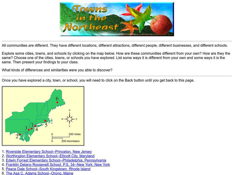
Harcourt: School Publishers: Towns in the Northeast
"All communities are different. They have different locations, different attractions, different people, different businesses, and different schools." This site is about some of the cities in the Northeast section of the United States....
Houghton Mifflin Harcourt
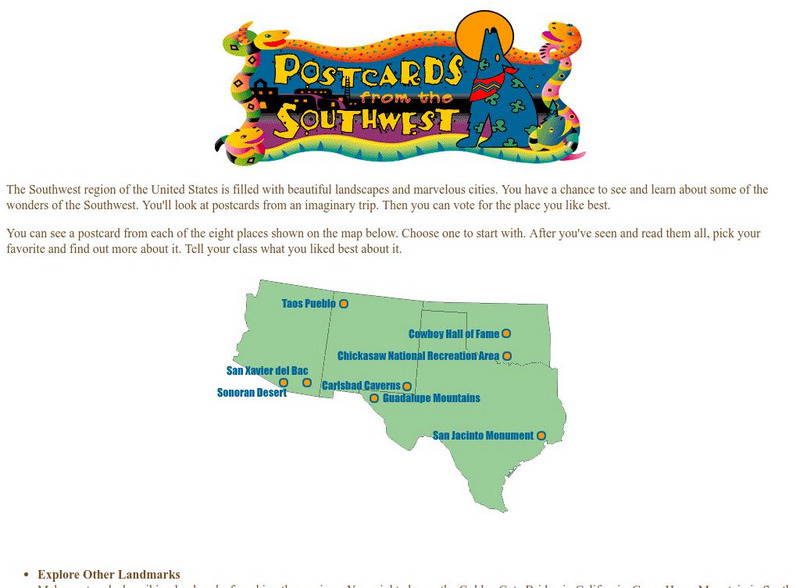
Harcourt: School Publishers: Postcards From the Southwest
The Southwest region of the United States is filled with beautiful landscapes and marvelous cities. Use this site to see and learn about some of the wonders of the Southwest. You'll look at postcards from an imaginary trip. Then you can...
Other
Geology.com: United States of America
The following website includes a satellite image of the United States. It also includes a list of bordering countries, cities, locations, natural resources, natural hazards, and environmental issues.


