PBS
Pbs: Empire of the Bay: Paths of the Explorers
Follow Hudson, Champlain and McKenzie as they explore Canada and what will ultimately become the land of the Hudson's Bay Company.
CK-12 Foundation
Ck 12: Earth Science: Effect of Latitude on Climate
[Free Registration/Login may be required to access all resource tools.] How latitude affects the climate of a region.
National Geographic
National Geographic: Exploring Maps and Models of Earth
Young learners will discover what maps and globes look like and understand their functions.
CK-12 Foundation
Ck 12: Earth Science: Maps
[Free Registration/Login may be required to access all resource tools.] How to use topographic, bathymetric, and geologic maps.
Other
Map Fight
A useful tool that facilitates comparison of any two countries to find out the land size ratio between them.
SMART Technologies
Smart: Exploring Explorers
This is a lesson activity which is written to engage visual and kinesthetic learners in their study on explorers: Leif Eriksson, Christopher Columbus, Erik the Red, Vasco Da Gama, John Cabot, Marco Polo, and Ferdinand Magellan.
Other
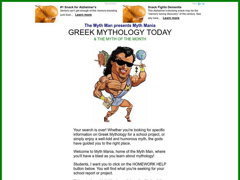
Greek Mythology Today and Myth of the Month
A large Greek mythology site focused on students and expressing a great love of Greek myth. Contains the Myth of the Month, as well as Homework Help concerning myths. Humorous and colorful.
Discovery Education
Discovery Education: Weather Maps
This site provides a lesson plan in which groups of students will each investigate a different type of weather map use for weather forecasting. Also includes discussion questions, extension ideas, and links to additional sites for more...
Curated OER
University of Texas: Map: Syria: Economic Activity
This map of Syria's economic activity from 1993 is from the Perry Castaneda Collection. See where Syria's oil and gas deposits are.
Curated OER
University of Texas: Map: Uae: Administrative Divisions
This map of United Arab Emirates labels the seven emirates that make up the federation. From the Perry-Castaneda collection.
Curated OER
University of Texas: Map: Uae: Land Use
Discover from this map that most of UAE is wasteland with a few oases scattered across the desert. From the Perry Castaneda collection.
Curated OER
University of Texas: Map: Uae: Economic Activity
See the economic activity of United Arab Emirates placed on a map. From a 1993 CIA map in the Perry Castaneda Collection.
Curated OER
University of Texas: Dominican Republic: Economic Activity
This map from 1971 shows the economic activity in Dominican Republic at that time. You can find the crops that were grown and the manufacturing activity. From the Perry-Castaneda collection.
Curated OER
University of Texas: Grenada: Relief Map
A relief map of the island of Grenada showing the major cities and its mountainous terrain. An inset shows Grenada's location in the Grenadines. From the Perry-Castaneda collection.
Curated OER
University of Texas: Map of Grenada
Although small, this map of Grenada shows some of the cities on the island and its location in the Grenadines. From the Perry-Castaneda collection.
Curated OER
University of Texas: Sudan: Political Map
This small map of Sudan clearly shows the course of the White Nile and Blue Nile, their confluence, and the subsequent Nile River. From the Perry Castaneda Collection.
Curated OER
University of Texas: Rwanda: Political Map
A small political map of Rwanda showing the major cities, rivers, and neighboring countries. Map is from the Perry Castaneda Collection.
Curated OER
University of Texas: Botswana: Map
A small map of Botswana that shows the Okavango River and delta as well as the salt pans. From the Perry-Castaneda Collection.
Curated OER
University of Texas: Papua New Guinea: Small Political Map
A small political map that clearly shows the islands that make up Papua New Guinea. From the Perry Castaneda Collection.
Curated OER
University of Texas: Vanuatu: Political Map
A small political map of Vanuatu. Be aware that the country was called New Hebrides until 1971 and is thus labeled on this map. From the Perry Castaneda Collection.
Curated OER
University of Texas: Federated States of Micronesia: Small Political Map
Although small, this map of the Caroline Islands, whose country name is the Federated States of Micronesia, shows clearly the various islands that make up this group. From the Perry Castaneda Collection.
Curated OER
University of Texas: Croatia: Political Map
A political map of Croatia showing its major cities and highways, county boundaries, and neighboring countries. Note that the map is from 2001 so will show Yugoslavia as a neighboring country. From the Perry Castaneda Collection.
Alabama Learning Exchange
Alex: Primary Technology Maps
This hands-on, inquiry-based lesson combines maps skills which include identifying map elements, applying an understanding of cardinal directions, interpreting resource maps, and identifying a location. Students will have the opportunity...


