National Geographic Kids
National Geographic Kids: Argentina
Click-through facts-and-photo file about Argentina's geography, nature, history, people, culture, and government. Includes a map of the country that pinpoints its South American location.
National Geographic Kids
National Geographic Kids: China
Click-through facts-and-photo file about China's geography, nature, history, people, culture, and government. Includes a map of the country that pinpoints its Asian location and a video that explains the desertification of...
National Geographic Kids
National Geographic Kids: Greece
Click-through facts-and-photo file about Greece's geography, nature, history, people and culture, and government. Includes a map of the country that pinpoints its European location and a video about the Parthenon, an ancient temple built...
National Geographic Kids
National Geographic Kids: Iceland
Click-through facts-and-photo file about Iceland's geography, nature, history, people and culture, and government. Includes a map of the country that pinpoints its European location.
National Geographic Kids
National Geographic Kids: Ecuador
Click-through facts-and-photo file about Ecuador's geography, nature, history, people and culture, and government. Includes a map of the country that pinpoints its South American location.
National Geographic Kids
National Geographic Kids: Switzerland
Click-through facts-and-photo file about Switzerland's geography, nature, history, people and culture, and government. Includes a map of the country that pinpoints its European location.
National Geographic Kids
National Geographic Kids: Panama
Click-through facts-and-photo file about Panama's geography, nature, history, people and culture, and government. Includes a map of the country that pinpoints its Central American location and a video highlighting the race to save...
Ohio Test Prep
Ohio Test Prep: Module 7: Geography
Learning module with Ohio state test preparation material on Geography, including map skills and modifying the environment. Inlcudes video tutorial, interactive review game, and module assessment.
Ohio Test Prep
Ohio Test Prep: Module 4: Geography Skills
Test preparation material for the Ohio tests in Social Studies provides video tutorials, practice interactives and assessment on geographic tools, latitude and longtitude, and regions.
Other
Metrocosm: How We Share the World
In this geographic interactive, students can visualize the world via the following six ways: GDP, government debt, population, births, wealth and billionaires.
Other
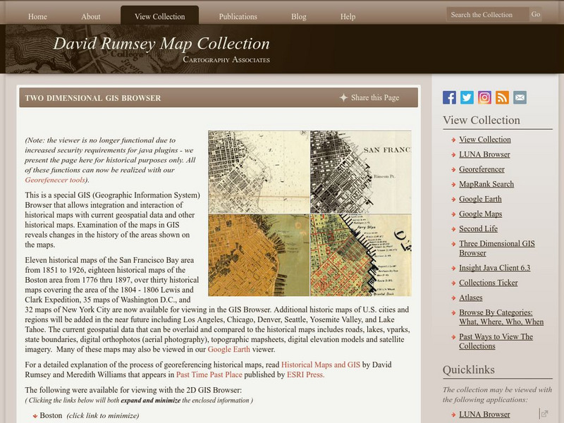
David Rumsey Historical Map Collection
The collection of more than 150,000 maps focuses on rare 18th and 19th-century maps of North and South America, although it also has maps of the World, Asia, Africa, Europe, and Oceania. The collection includes atlases, wall maps,...
American Museum of Natural History
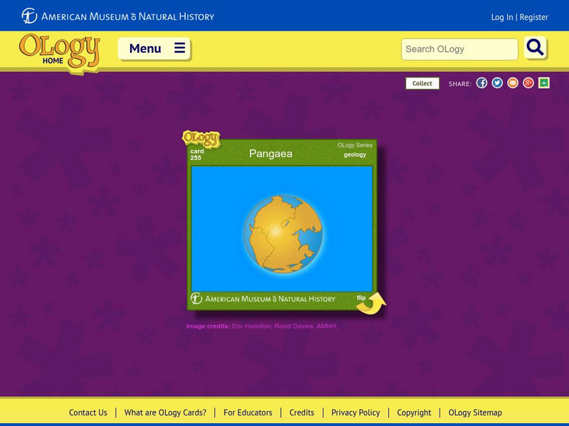
American Museum of Natural History: Pangaea O Logy Card
Learn about the supercontinent known as Pangaea that broke apart into the continents that we know today. Answer questions when you finish reading.
Other
Falkland Islands Tourist Board
This resource presents tourist-oriented information about the Falkland Islands including reasons to visit, wildlife, places to stay, and getting around. Also contains pictures and video.
Read Works
Read Works: Three Symbols of the United States
[Free Registration/Login Required] Three main symbols of the United States are provided in this informational text: The Liberty Bell, the American flag, and The White House. " Early readers can use the visual cues to help them comprehend...
Read Works
Read Works: Learn About Maps
[Free Registration/Login Required] Intended to support early elementary students' reading comprehension, the basic terminology associated with map are explained in this informational text. A question sheet is available to help students...
Read Works
Read Works: This Is North America
[Free Registration/Login Required] Intended to support early elementary students' reading comprehension, geographical information about North American is provided in this informational text. Questions that assess multiple reading skills...
CK-12 Foundation
Ck 12: Earth Science: Field Trips
[Free Registration/Login may be required to access all resource tools.] Let's go! Virtual Earth science field trips.
Other
La Republica Dominicana: Todo Un Pais De Sensaciones
This is a site for exploring many aspects of life in the Dominican Republic. Available in French, Italian, Spanish, or English. Links lead to information on the country and its regions, its cultural roots, ecological resources, news and...
Library of Congress
Loc: America's Story: Washington State
This collection of stories features facts about the state of Washington. Find out about the Milk Carton Derby is. Can you name the borders of Washington state?
Central Intelligence Agency
Cia: World Factbook: Iceland
This site provides general information on Iceland about their people, climate, geography and more.
Other
National Council for the Social Studies
National Council for the Social Studies has grown to be the largest association in the country devoted solely to social studies education. NCSS engages and supports educators in strengthening and advocating social studies. This resource...
Yale University
The Yale Map Collection: Online Maps
Yale University provides us with one of the largest collection of maps in the United States. Here you can view historical online maps covering a variety of subjects.
Other
Paleomap Project
Virtual reality animation map showing continental drift from 200mya to the present. The animation map is small but effective in showing the positions of the land masses.
Read Works
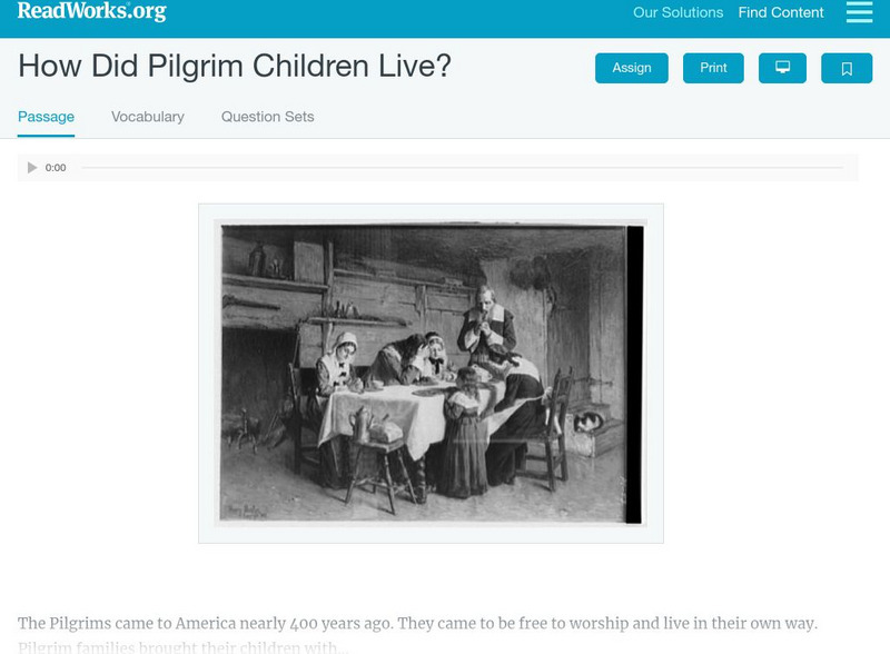
Read Works: How Did Pilgrim Children Live?
[Free Registration/Login Required] An informational text about the typical lifestyle of a Pilgrim child. A question sheet is available to help students build skills in reading comprehension.


