Hi, what do you want to do?
American Association of Physics Teachers
Com Padre Digital Library: Physics to Go: Explore Physics on Your Own
Contains a full physics curriculum with links to games, webcasts, and activities. By creating a free account, students and teachers can create their own personal collection of resources.
University of Washington
University of Washington: Coastal Processes and the Continental Margin
Events affecting the continental margin off Washington State are presented. This article comes from the "Thompson Times," an onboard newspaper from the UW's primary research vessel, the Thomas Thompson.
PBS
Nova: World's Deadliest Volcanoes According to the Volcanic Explosivity Index
Learn how scientists measure the size of a volcanic eruption. After viewing a recreation of the volcanic eruption of Mount St. Helens, you will be challenged to rate it using the volcanic explosivity index (VEI).
Other
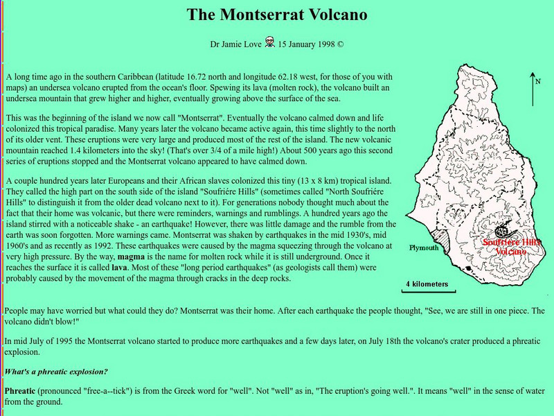
Science Explained: Montserrat Volcano
Read an illustrated description of how an undersea volcanic eruption formed the Caribbean island of Montserrat. Includes a lengthy description of volcanic processes and defines many volcanic terms, such as lahar, tephra, and pyroclastic...
Other
Morelia Directory
General information as well hotels, restaurants, tours and businesses in this colonial city
Other
Internet Geography: Volcanoes
Investigate volcanoes with this interactive site containing a virtual field trip and other activities.
US Geological Survey
U.s. Geological: Cascade Range Volcanoes and Volcanics
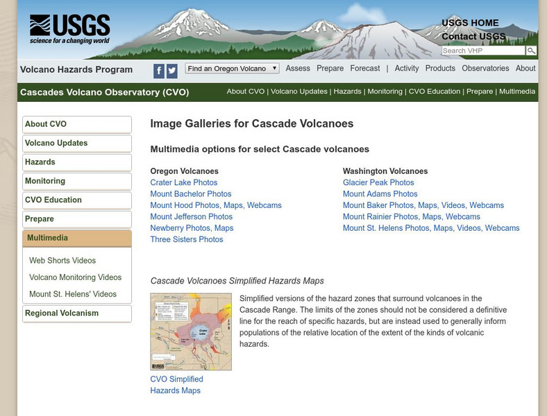
This site, which is provided for by the U.S. Geological Survey, describes the volcanoes in the Cascades.
US Geological Survey
Us Geological Survey: Monitoring Active Volcanoes
This site from the US Geological Survey contains four pages full of information. The introduction discusses how volcanoes are monitored, the technique page discusses the equipment and the case studies show data. There is a conclusion at...
US Geological Survey
Usgs: Types of Volcanic Eruptions
Types of volcanic eruptions are named after actual volcanoes. View the eruptions of these volcanoes.
US Geological Survey
Usgs: Volcano Landslides and Their Effects
Describes what a volcano landslide is, how they occur, the effects of these landslides, and case studies.
US Geological Survey
Us Geological Survey: Map of Ring of Fire
A clear map of the Ring of Fire, with each volcano named. There are a few sentences of caption under the map.
US Geological Survey
Usgs: Cascade Range Volcanoes
At this site from USGS you can view pictures and resources on the volcanoes located in the Cascade Mountain Range. Experience their beauty and splendor as you learn more about these volcanic mountains.
US Geological Survey
Us Geological Survey: Hawaiian Volcanoes
This site from the US Geological Survey provides general information about the Hawaiian volcanoes.
US Geological Survey
Usgs: Volcano Hazards Program: Dotsero Volcanic Center
Since 2001 the USGS has been monitoring the earth's surface in Yellowstone to understand the activity of volcanoes and earthquakes. This resource recognizes the Dotsero Volcanic Center.
US Geological Survey
Usgs: November 29, 1975 Kalapana
Describes details of the earthquake of November 29, 1975 Kalapana in Hawaii, the tsunami, and the eruption of the volcano Kilauea as a result of the earthquake.
US Geological Survey
Us Geological Survey: How Hawaiian Volcanoes Work
This page from the US Geological Survey has several links to pages that explain the formation of volcanoes. These links will also explain the creation of new land and other hazards.
NOAA
Noaa: Operational Significant Event Imagery
This site contains satellite images from around the world organized by significant events such as dust storms, floods, severe weather, etc. Not very user friendly, but the images are there for those willing to search.
US Geological Survey
Us Geological Survey/ Historic Eruptions
Tambora of Indonesia had one of the deadliest eruptions since 1500. You will learn about the volcano and you can link to other related items.
NC State University
The Engineering Place: Volcanoes: Viscosity Demonstration
For this lesson, students explore how the viscosity of lava affects the intensity of a volcanic eruption, and the resultant landforms that are created.
Sophia Learning
Sophia: Volcanoes: Lesson 2
This lesson will provide models or diagrams that explain how volcanic eruptions occur, and discuss their impact on living things. It is 2 of 5 in the series titled "Volcanoes."
BBC
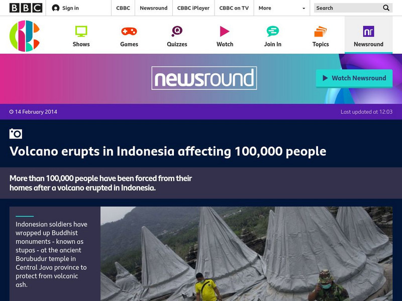
Bbc Newsround: Week of 2 17 14: Volcano Erupts in Indonesia
A slideshow of images shows how people in Indonesia have been affected by the recent eruption of a volcano.
Science Education Resource Center at Carleton College
Serc: Fire and Ice: Volcanic and Glacial Features on Land and Seafloor
Students learn about glacial and volcanic features by examining and comparing bathymetric and topographic images of the Sand Point area of Alaska.
CK-12 Foundation
Ck 12: Earth Science: Predicting Volcanic Eruptions
[Free Registration/Login may be required to access all resource tools.] How scientists can predict volcanic eruptions.
CK-12 Foundation
Ck 12: Earth Science: Predicting Volcanic Eruptions
[Free Registration/Login may be required to access all resource tools.] How scientists can predict volcanic eruptions.


