Hi, what do you want to do?
Curated OER
Educational Technology Clearinghouse: Maps Etc: Asia, 1910
A map of Asia from 1910 showing country boundaries at the time, foreign possessions, major cities, rivers, lakes, terrain, and coastal features.
Curated OER
Educational Technology Clearinghouse: Maps Etc: Asia, 1909
A map from 1909 of Asia showing country borders and capitals, principal cities and ports, railroads, canals, mountain systems, lakes, rivers, islands, and coastal features.
Curated OER
Educational Technology Clearinghouse: Maps Etc: Asia, 1920
A map of Asia from 1920 showing country boundaries at the time, foreign possessions, major cities, rivers, lakes, terrain, and coastal features. This map shows the principal railways of the region with connections to Europe, and...
Curated OER
Educational Technology Clearinghouse: Maps Etc: Asia, 1920
A map of Asia from 1920 showing country boundaries at the time, foreign possessions, major cities, rivers, lakes, terrain, islands, and coastal features. This map shows the principal railways of the region with connections to Europe, and...
Curated OER
Educational Technology Clearinghouse: Maps Etc: Asia (Physical), 1915
Asia, showing major landforms and waterways, including the Arabian Desert; the Tibetan Plateau and Himalayas, the Gobi Desert, the China Lowlands, Hwang-ho River, Song-ka River, et cetera.
Curated OER
Educational Technology Clearinghouse: Maps Etc: Asia (Physical), 1901
A map of Asia from 1901 showing the physical features of the region including mountain systems, plateaus, basins, plains, deserts, lakes, rivers, and coastal features and islands. The map shows major ocean currents, the mean annual...
Curated OER
Educational Technology Clearinghouse: Maps Etc: Relief Map of Asia, 1872
A relief map from 1872 of Asia showing terrain features of the region including mountain systems, plateaus and basins, lakes, river systems, coastal features, and islands.
Curated OER
Educational Technology Clearinghouse: Maps Etc: Relief Map of Asia, 1890
A relief map from 1890 of Asia showing terrain features of the region including mountain systems, plateaus and basins, lakes, river systems, coastal features, and islands.
Curated OER
Educational Technology Clearinghouse: Maps Etc: Economic Map of Asia, 1915
A map from 1915 showing main economic products & principal railways throughout Asia.
Curated OER
Educational Technology Clearinghouse: Maps Etc: Europe and Western Asia, 1883
A map from 1883 of Europe and western Asia showing country borders and capitals, principal cities, mountain systems, and rivers.
Other
Where There Be Dragons: Learning Adventures Abroad
This site offers students and adults learning opportunities through off the beaten path, small group expeditions to counties in Asia, Central America and South America. Trips are rugged,, creative and engaging journeys that combine...
PBS
Pbs Learning Media: Animal Adaptations: Fishing Cat
Learn how the semi-aquatic fishing cat evolved millions of years ago to live in the wetlands of South and Southeast Asia in this video from NATURE: The Story of Cats (4:18). The accompanying activity prompts students to write an...
Other
Working Abroad
WorkingAbroad/VWIS (Voluntary Work Information Service) is an international networking service for volunteers, workers and travellers on volunteer projects in over 150 countries worldwide. On this site, you will find professional and...
Other
Asia Society: Chinese Trade in the Indian Ocean
This essay provides background information regarding China's Ming Dynasty as well as an explanation for the importance of trade during this period in history.
Columbia University
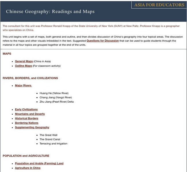
Asia for Educators: Outline Maps
The outline maps are designed to be used as transparencies that can be overlaid on an overhead projector to demonstrate the diversity of China's physical and cultural geography. Copies can be printed out and reproduced also for student...
Other
Underwater World, Singapore
At this site you will learn all about Underwater World in Singapore. You can get general information, take a virtual tour, see pictures, and download movies of a diver feeding fish.
Nations Online Project
Nations Online: Indonesia
Interesting reference guide that takes you on a virtual trip to Indonesia. Background overview is given on its art, culture, people, environment, geography, history, economy, and government. There are numerous links available that will...
Nations Online Project
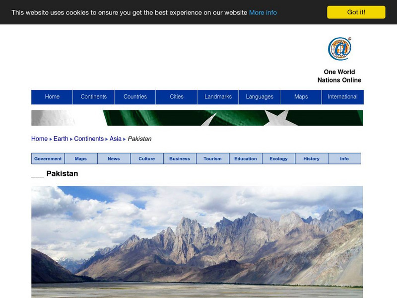
Nations Online: Pakistan
Useful guide to a country profile of the Southern Asian nation of Pakistan featuring background details and numerous links to extensive information on the nation's culture, history, geography, economy, environment, population, news,...
Nations Online Project
Nations Online: Thailand
Interesting reference guide that takes you on a virtual trip to Thailand. Background overview is given on its art, culture, people, environment, geography, history, economy, and government. There are numerous links available that will...
PBS
Pbs: Frontline: Bride Kidnapping and the Role of Women in Kyrgyzstan
Kyrgyzstan is a nation in Central Asia. This learning module will look at how women are viewed and treated and what is expected of them in Kyrgyzstan. Consider the freedoms women have in the United States to other nations.
Curated OER
Educational Technology Clearinghouse: Clip Art Etc: Pompey
Pompey was one of the men, who, having distinguished himself in foreign wars, was looked upon as the natural leader of the city. He increased this already great reputation by his victory over the pirates of the Mediterranean, who had...
Curated OER
Educational Technology Clearinghouse: Maps Etc: Europe, 1888
A map showing country boundaries of Europe as they existed in 1888, including major cities, rivers, and landforms. This map highlights the significance of the use of natural boundaries (rivers and mountains) over cadastral (surveyed or...
Curated OER
Educational Technology Clearinghouse: Maps Etc: Winter Monsoon in India, 1910
A map from 1910 of the Indian subcontinent and the Central Asia region showing the typical rainfall distribution patterns during the winter monsoons, keyed to show areas of rainfall ranging from very light to heavy rainfall. The map...


