ClassFlow
Class Flow: The 13 Colonies
[Free Registration/Login Required] This flipchart provides an overview of the original 13 colonies, including information about the individual colonies, fun facts, an interactive quiz and maps.
Annenberg Foundation
Annenberg Learner: United States History Map: The Nation Expands
After examining a map showing the expansion of the United States, click to read about each addition to the country and see where that addition is. Play Expansion Concentration to test your skills.
PurposeGames
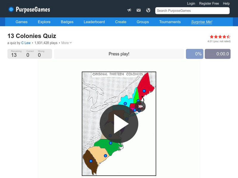
Purpose Games: Can You Identify the 13 Original Colonies of the Usa?
Play this interactive game to test your knowledge of the original thirteen colonies. Can you find them on a map?
SMART Technologies
Smart: Thirteen Colonies
Students will drag the name of each colony onto the map. Then drag the color coded stars to the New England, Middle, and Southern Colonies. Lastly, they will drag the important events to the colony in which it happened.
Curated OER
Educational Technology Clearinghouse: Maps Etc: Coast of Maine, 1884
A sketch map from 1884 of the Maine coastline showing early settlements, and is keyed to show: Shows locations of: (1) Portsmouth; (2) York (Gorgiana, 1641); (3) Agamenticus; (4) Saco; (5) Richmond Island; (6) Casco; (7) Sabino (Popham's...
Other popular searches
- Us Map 13 Colonies
- Original 13 Colonies Map
- 13 Colonies Map Activities
- Map of 13 Colonies
- Blank 13 Colonies Map
- Map of the 13 Colonies
- Google Maps 13 Colonies
- 13 Colonies Map Project
- Science Lesson 13 Colonies Map
- Go Ogle Maps 13 Colonies


