Curated OER
Water Quality and Watersheds: A GIS Investigation
Requiring more than one class period, this resource takes earth science learners on a journey through a watershed. Using ArcGIS Explorer, an online geographic information system, they view maps of watersheds and surrounding landscapes....
Curated OER
Shells Around the World
Students research a geographical region that contains shells. For this shells from around the world lesson, students take a field trip to a local shell shop (if possible) and then work in groups to research a geographical region...
Curated OER
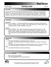
Kansas Land
Fourth graders discover the geographic regions of Kansas. In this geography lesson, 4th graders explore the different regions of Kansas and determine how the different geography affects daily life in Kansas.
Curated OER
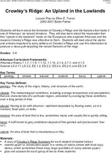
Crowley's Ridge: An Upland in the Lowlands
This clever lesson combines elements of geography, art, literature, and storytelling. Pupils take a close look at the six geographical regions of Arkansas, and pay close attention to Crowley's Ridge - which is one of the six. In groups,...
Curated OER
Medical Explorer
After reading a case study, pupils will explore possible diagnoses, assessment, and treatment plans. Finding the definitions to medical vocabulary and sorting through patient history, they will begin to understand the process of...
It's About Time
The Changing Geography of Your Community
Lead your class in exploring their local communities as well as the general environment. As they determine continental distributions by investigating minerals, rocks, and fossils located in their local region, pupils construct...
Curated OER
Scientist Tracking Network
Students correlate surface radiation with mean surface temperature of several geographic regions. They observe how these parameters change with latitude and construct an understanding of the relationship of solar radiation to seasonal...
Curated OER
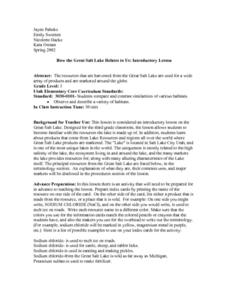
How the Great Salt Lake Relates To Us
Third graders name at least three resources that come for the Great Salt Lake. They describe at least one product that is made from each resource. They name and locate on a map at least five different geographic regions where Great...
Curated OER
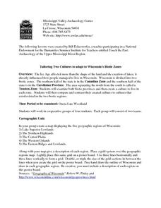
Tailoring Two Cultures to Adapt to Wisconsin's Biotic Zones
Students examine the effect of the various ice ages on Wisconsin. In groups, they create a map representing the five geographic regions of Wisconsin. They must write out a description of each region to be placed on a poster board. ...
Curated OER
Canada's Arctic Barometer
Students research arctic climates. In this Web-quest investigation, students will identify Arctic climate changes, explain the effects of these changes, relate the changes to other regions, and write their findings in a letter format.
Curated OER
Mapping the Effects of War
Students examine how war can lead to environmental health crises. They read an article, conduct research on a region from the article, and create a poster to depict the geographic region and the environmental health effects of the conflict.
Curated OER
Stream Gages and GIS
students interpret recent regional-scale climate events based on current stream flow, monitor changes in time, and to consider additional interpretations that could be derived if other data were in map form.
Orange County Water Atlas
Location, Location, Location…
Young geographers discover not only how to read and recognize coordinates on a map, but also gain a deeper understanding of latitude and longitude and how climate changes can vary significantly across latitudes.
Curated OER
Our Nation's Natural Disasters
Sixth graders classify their regions' natural disaster(s). Within this lesson students enhance their research skills by utilizing different resources, as well as their writing skills by composing short research papers.
Global Oneness Project
Witnessing Icebergs
Camille Seaman's photoessay, "Witnessing Icebergs" documents just a tip of the problem of climate change through images of icebergs in both the Arctic and Antarctic polar regions. After viewing the haunting images, viewers respond...
California Academy of Science
Discovering Rainforest Locations
How many rainforests are there, where are they, and do global factors effect their locations? These are great questions that have great answers. Children in grades four through eight use several different maps to determine why...
Curated OER
Rivers And Capitals
Pupils become familiar with the use of GIS for research and become aware of the importance of rivers to cities. They also analyze the placement of cities and learn the names of rivers in the United States.
Curated OER
Indiana Tornado Project
Young scholars become familiar with the use of GIS for research, natural phenomena in Indiana, and analyzing collected information.
Curated OER
Comparing Amount of Rainfall in Different Geographical Areas
Learners construct rain gauges and use them to log rainfall in their school zone, local city, and region and then compare and discuss them by plotting this information.
Curated OER
The North and South Magnetic Poles
In this north and south magnetic poles worksheet, students read about the presence of auroras over the earth's magnetic poles as opposed to the geographic poles. Students use 2 photographs taken by the IMAGE FUV and the Polar instruments...
Curated OER
MATERIALS, Using What’s Local: Native Materials, Local Sources
Students consider the development of different societies. In this environmental building instructional activity, students consider local resources and how societies choose to use them. Students use their findings to design a 'green'...
Curated OER
Theobroma - Food of the Gods
Students discuss the history of cacao and its use in the production of chocolate. They analyze actual cacao pods and record their observations. Finally they create a five minute contour drawing of the cacao pod and seeds.
Curated OER
Northwest Hawaiian Islands
Students compare and contrast places around the world. Students analyze the effects of human activity on the physical environment and devise plans to address the consequences. Students also focus on geographical topics such as formation...
Curated OER
What in Our World Affects the Way People Live
Sixth graders study various maps that show geographical features and population. They compare the maps and make inferences about how various geographical features influence the population and human activities of an area.


