University of Pennsylvania
University of Pennsylvania: An Agrarian History of South Asia
A lengthy essay that fully describes agrarian history in South Asia, along with political connections.
Other
Gotheborg.com: The Swedish East India Company
Although lesser known than the Dutch and British East India trading companies, the Swedes were very involved in the trade to Asia. Gotheborg.com provides a history of the company and the goods that it purchased and sold.
British Library
British Library: The East India Company and Asia 1600 1800
Learn about the trade routes and products upon which both Europe and Asia depended. English and Dutch trading companies were formed to transport valued goods half way around the world. Maps are included.
The British Museum
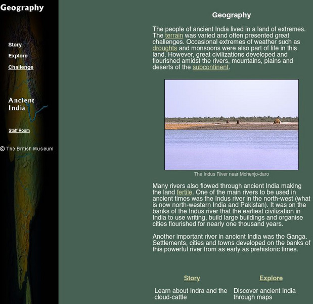
The British Museum: Ancient India Geography
With the help of an online glossary students can take a trip through ancient using maps, or take a virtual pilgrimage. One can also learn about about Indra and the cloud-cattle.
Other
The British Empire: The Indian Mutiny of 1857
Provides a nice timeline to the events of the Mutiny of 1857 along with a list of battles fought during the Mutiny.
University of California
The History Project: South African Diamond Mines, 1870s
The Dutch East India Company established a colony at the Cape of Good Hope in 1652 and administered it until 1795 when it fell into British hands. The British returned Cape Colony to the Company for a three-year period before finally...
Bibliomania
Bibliomania: "Kim" by Rudyard Kipling (Full Text)
This Bibliomania website features the full text of Rudyard Kipling's novel "Kim." A brief summary of the novel is also included as well as a link to Bibiomania's main Kipling page that features other full-text works by this nineteenth...
Internet History Sourcebooks Project
Fordham University: Modern History Sourcebook: W. S. Blunt
Excerpts from the diaries of Wilfred Scawen Blunt, English writer who opposed British imperialism.
Khan Academy
Khan Academy: Crossroads of the Ancient World
Because of Afghanistan's geographical position -- on the edge of central Asia with India and China beyond to the east, and Iran, the Middle East and the numerous cultures of the Mediterranean and the rest of Europe to the west -- it was...
Khan Academy
Khan Academy: Painting of Shah 'Abbas, Khan 'Alam and a Page
This painting shows the meeting of Shah 'Abbas I of Iran and Khan 'Alam, the ambassador of Mughal India, at the former Safavid capital, Qazvin in 1618. Their meeting was recorded by a Mughal court artist, and this image is most likely...
The British Museum
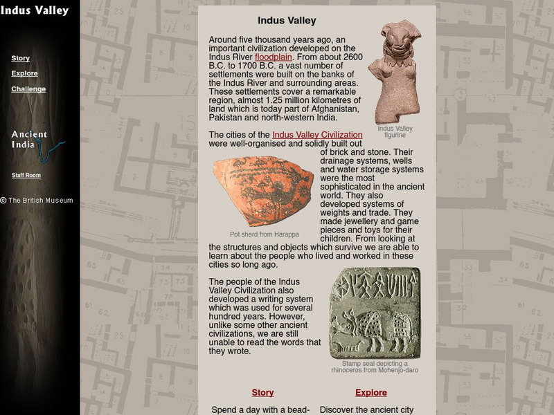
The British Museum: Indus Valley
This interactive site offers students an online glossary, as well as a game of matching pieces of pottery, spending the day with the maker's son, and exploring the ancient city of Mohenjo-daro.
Curated OER
Partition of India in 1947
The author describes how India and Pakistan were created as a result of a division of the British colony of India and what problems and issues developed as a result of their separation.
Internet History Sourcebooks Project
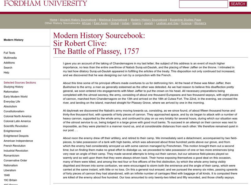
Fordham University: Modern History Sourcebook: The Battle of Plassey 1757
Fordham University provides this site with a letter from Sir Robert Clive discussing the Battle of Plassey. Primary source document from the Modern History Sourcebook.
Other
Thomas Babington Macaulay:impeachment of Warren Hastings
This historical essay by Thomas Macaulay provides a detailed account of the day of Governor Warren Hastings' impeachment at Westminster. Includes footnotes explaining references and unfamiliar terms; includes links to famous people...
Internet History Sourcebooks Project
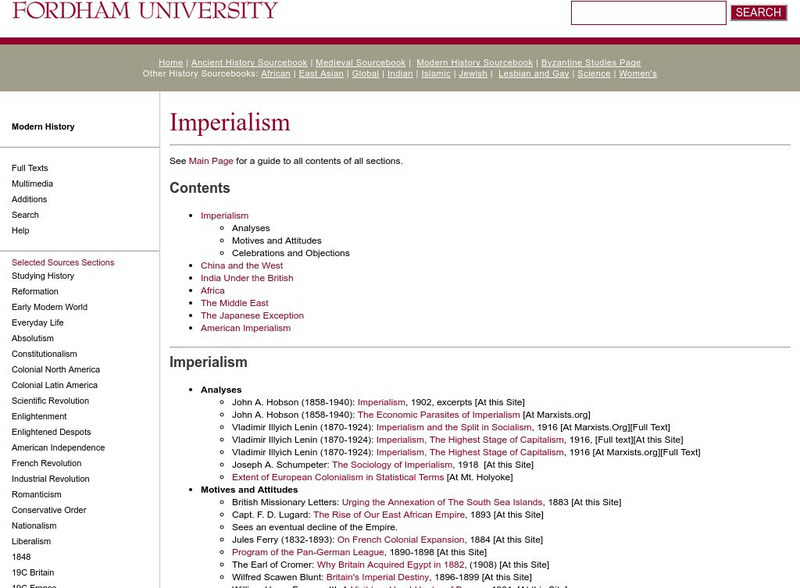
Fordham University: Modern History Sourcebook: Imperialism
Collection of primary sources that supports study of imperialism. Sources include contemporary narrative accounts, letters, memoirs, songs, newspaper reports, and a variety of legal, cultural, philosophical, religious, and scientific...
Google Cultural Institute
Google Cultural Institute: Independence Day Celebrations 1947
Pictorial exhibit of the Independence Day celebrations in India commemorating the nation's independence from the British Empire on August 15, 1947.
Other
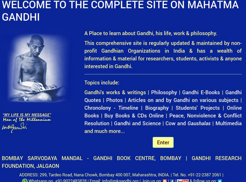
Mohandas Karamchand Gandhi/man of Millennium
A huge site of resources on the life of Gandhi from 1869 to 1948. Includes his writings, his work, his teachings, his philosophy and an extensive timeline of events in his life.
Curated OER
Etc: Maps Etc: Anglo India Before Robert Clive, 1750
A map of the English settlements in India prior to the arrival of Robert Clive (1744) and the beginnings of rule under the British East India Company after the Battle of Plassey (1757). The map shows the settlements of Cossimbazar and...
Curated OER
Etc: Maps Etc: Anglo India After Clive's Departure , 1760
A map of the eastern coast of India showing the Anglo-India (East India Company) possessions after Robert Clive's departure in 1760. The map is color-coded to show the extent of the British territories at the time, and shows the...
Curated OER
Educational Technology Clearinghouse: Maps Etc: India, 1920
A map from 1920 of India, showing the political divisions and country boundaries at the time. India was officially British Raj, made up of British controlled provinces and dependent Native States or Princely states (Hyderabad, Mysore,...
Curated OER
Educational Technology Clearinghouse: Maps Etc: India, 1792 1804
A map of Hindustan (India) from the end of the Third Anglo-Mysore War (1789-1792) to the Second Maratha War (1803-1804). This map is color-coded to show the British possessions at the time, the territories conquered by the British during...
Curated OER
Etc: The Mutiny in Northern India, 1857 1859
A map of northern India, subtitled "The Mutiny 1857-1859." At this time, the Indian Rebellion against the British East India Company, also known as Sepoy Mutiny or India's First War of Independence, erupted in the upper Gangetic Plain...
Curated OER
Etc: Maps Etc: United and Central Provinces of India, 1912
A map from 1912 of the British provinces of Bengal, Assam, Bihar and Orissa, Central India and the United Provinces of Agra and Oudh at the time. The map also shows the countries of Nepal and Bhutan, and the Indian state of Sikkim. The...
Other popular searches
- India British Empire
- British East India Company
- India British Imperialism
- India + British Rule
- History of British India
