Curated OER
Cameroon Satellite Photo
Check out this great satellite image of Cameroon from Google Earth. Scroll past the informative political map to see the image. There is more information about the country below the satellite map.
Curated OER
Science Kids: Science Images: Map of Cameroon
A map featuring Cameroon and its neighboring countries.
Curated OER
Unesco: Cameroon: Sangha Trinational
Situated in the north-western Congo Basin, where Cameroon, Central African Republic and Congo meet, the site encompasses three contiguous national parks totalling around 750,000 ha. Much of the site is unaffected by human activity and...
Curated OER
Map of Cameroon
Explore the geography, history, government and facts of Cameroon. Maps and current flag are included.
Curated OER
Association of Religion Data Archives: National Profiles: Cameroon
Learn about religion in Cameroon, in this Association of Religion Data Archives country profile. Includes general facts, history, and religious data.
Countries and Their Cultures
Countries and Their Cultures: Fali
The Fali belong to the vast paleonegritic group of people who are sometimes designated "Kirdi" (pagans), as opposed to the Islamized Peul or Fulbe, with whom they share the northern part of Cameroon. The Fali are farmers and...
Countries and Their Cultures
Countries and Their Cultures: Bamileke
Bamileke is a collective term referring to a loose agglomeration of some 100 kingdoms or chiefdoms of the eastern Grassfields in the Western Province of Cameroon. These kingdoms have similar cosmology and social and political structures;...
Immigration and Ethnic History Society
Iehs: Goodman, Writing u.s. Immigration History on the Other Side of the World
This article is written by a doctoral student of American foreign relations and immigration policy who doing research in Cameroon, Africa. In 1990, just 3000 Cameroonian immigrants resided in the United States. Today the number has...
University of Iowa
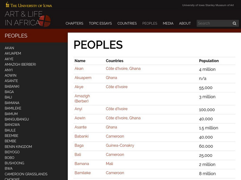
University of Iowa: Arts and Life in Africa: People Resources
Essential information on African countries and African peoples assembled by the University of Iowa.
PBS
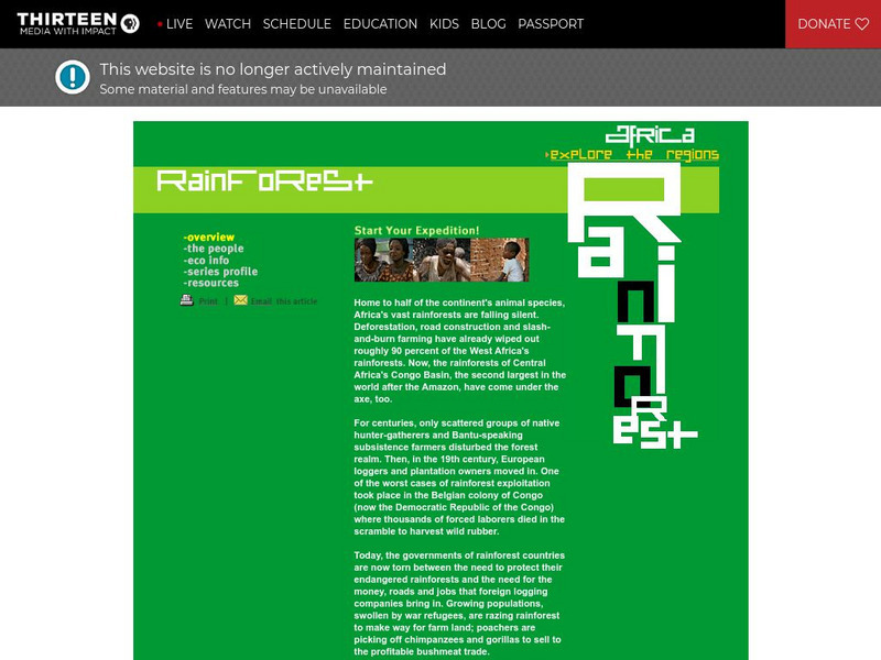
Wnet: Thirteen: Africa: Explore the Regions Rainforest
Explore African rainforests at this richly illustrated and informative site from PBS. Learn about the people, economy, and countries of these densely forested zones.
Curated OER
University of Texas: Central Africa: Relief Map
A good relief map of the countries of Central Africa showing mountains, lakes, and valleys. Clicking on the map will enlarge it. From the Perry Castaneda Collection.
Countries and Their Cultures
Countries and Their Cultures: Tropical Forest Foragers
The term "tropical-forest foragers," or "pygmies," refers to ethno-linguistically diverse peoples distributed across the forested regions of Central Africa who are particularly short in stature and who traditionally have lived by...
Countries and Their Cultures
Countries and Their Cultures: Kanuri
The Kanuri are the dominant ethnic group of Borno Province in northeastern Nigeria. They number over 3 million in Nigeria, about 500,000 in Niger, 100,000 in Chad, and 60,000 in Cameroon. They are called "Beri-beri" by the Hausa, but...
University of Texas at Austin
Perry Castaneda Library Map Collection: African Maps
At this site find any type of map on Africa. Just click on what you want and you will get an accurate, colorful map.
Countries and Their Cultures
Countries and Their Cultures: Cameroonians
Provides an overview of the traditional culture and lifestyle of Cameroonians. Gives basic facts about location, language, folklore, foods, social customs, family life, education, religion, pastimes, societal challenges, etc. (Note:...
Lincoln Park Zoo
Lincoln Park Zoo: Western Lowland Gorilla
Use this site for information on the Western Lowland Gorilla. The information consists of special adaptations the gorilla has had to make, what it looks like, where it is found in the wild, what it likes to eats, and what its...
Encyclopedia Britannica
Encyclopedia Britannica: Roger Milla
This entry from Encyclopedia Britannica features Roger Milla, a Cameroonian football (soccer) player, renowned for his impeccable technique and grace under pressure. A forward, he starred on the Cameroon national team that became the...
CRW Flags
Flags of the World: Central African Republic
Flags of the World offers a large flag of Central African Republic with a description of the flag and coat of arms.
Curated OER
Educational Technology Clearinghouse: Maps Etc: Political Colonial Africa, 1916
A political map of the African continent in 1916, showing the European territorial claims established at the Berlin Conference in 1885. This map also shows the territorial enclaves of British Walfish Bay in German Southwest Africa,...
Curated OER
Educational Technology Clearinghouse: Maps Etc: Mountain Systems of Africa, 1885
An orographic relief map of Africa showing the major mountain systems and highlands of the African continent, including the Atlas Mountains, Plateau of Abyssinia, Kong Mountains, and Cameroon Mountains. This map also shows the major...
Curated OER
Etc: Maps Etc: German Territories in Africa, 1915
These three maps show the German Territories in Africa circa 1915. They include Togo, Cameroon, German Southwest Africa (Namibia), and German East Africa (Tanzania). Maps indicate the general relief of each territory, major rivers, and...
Other popular searches
- Cameroon Folktale
- Cameroon Africa
- Cameroon in 1000ad
- Cameroon Government
- Cameroon Daily Schedule
- Cameroon for Kids
- Baka of Cameroon
- Tos Cameroon
- The Baka of Cameroon
- Headdress in Cameroon
- Toes Cameroon
- Baa of Cameroon


